112 W Burnt Point Trail Payson, AZ 85541
Estimated Value: $517,000 - $687,000
--
Bed
--
Bath
1,960
Sq Ft
$317/Sq Ft
Est. Value
About This Home
This home is located at 112 W Burnt Point Trail, Payson, AZ 85541 and is currently estimated at $621,595, approximately $317 per square foot. 112 W Burnt Point Trail is a home with nearby schools including Julia Randall Elementary School, Payson Elementary School, and Rim Country Middle School.
Ownership History
Date
Name
Owned For
Owner Type
Purchase Details
Closed on
Aug 9, 2024
Sold by
North Darin and North Stacy
Bought by
North Family Living Trust and North
Current Estimated Value
Purchase Details
Closed on
Oct 5, 2015
Sold by
Tutay Kayla Topaz Addington
Bought by
North Darin and North Stacy
Purchase Details
Closed on
Oct 23, 2007
Sold by
Addington W Michael and Addington Cheryl J
Bought by
Addington Wallace Michael and Addington Cheryl Jean
Create a Home Valuation Report for This Property
The Home Valuation Report is an in-depth analysis detailing your home's value as well as a comparison with similar homes in the area
Home Values in the Area
Average Home Value in this Area
Purchase History
| Date | Buyer | Sale Price | Title Company |
|---|---|---|---|
| North Family Living Trust | -- | None Listed On Document | |
| North Darin | $100,000 | Pioneer Title Agency | |
| Addington Wallace Michael | -- | None Available |
Source: Public Records
Tax History Compared to Growth
Tax History
| Year | Tax Paid | Tax Assessment Tax Assessment Total Assessment is a certain percentage of the fair market value that is determined by local assessors to be the total taxable value of land and additions on the property. | Land | Improvement |
|---|---|---|---|---|
| 2025 | $1,427 | -- | -- | -- |
| 2024 | $1,427 | $58,536 | $6,120 | $52,416 |
| 2023 | $1,427 | $10,433 | $6,336 | $4,097 |
| 2022 | $1,621 | $8,166 | $4,395 | $3,771 |
| 2021 | $1,366 | $11,570 | $4,395 | $7,175 |
| 2020 | $1,333 | $0 | $0 | $0 |
| 2019 | $1,278 | $0 | $0 | $0 |
| 2018 | $1,218 | $0 | $0 | $0 |
| 2017 | $1,158 | $0 | $0 | $0 |
| 2016 | $1,129 | $0 | $0 | $0 |
| 2015 | $1,073 | $0 | $0 | $0 |
Source: Public Records
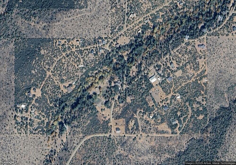
Map
Nearby Homes
- 41&42 Antelope Trail Rd
- 424 W Blackberry Ln
- 167 E Belluzzi Blvd
- 134 E Belluzzi Blvd
- 11180 N Houston Mesa Rd
- 11180 N Houton Mesa Rd Unit 77
- 10755 N Houston Mesa Rd Unit Parcel 1-B
- 383 W Diamond Rd
- 247 W Diamond Rd
- 287 S Lookout Trail
- 2 Zane Meadows
- 616 S Verde Place
- 989 W Verde Rd
- 861 S Palomino Way
- 709 W Old Pine Trail
- 702 S Palomino Dr
- 1040 S Palomino Place
- 170 S Park Rd
- 175 N Windy Grove Cir
- 1010 W Johnson Blvd
- 36 Bonita Creek Rd Unit 36G
- 14 Myrtle Point Trail Unit 14
- 9 Myrtle Point Trail Unit 9
- 222 Myrtle Point Trail Unit 18
- 0 Myrtle Point Trail
- TBD Myrtle Point Trail Unit 20
- 10A Myrtle Point Trail
- 9 Myrtle Point Trail
- 14 Myrtle Point Trail
- 10A Myrtle Point Trail Unit 10A
- 27 N Myrtle Point Trail Unit 27
- 27 N Myrtle Point Trail
- 189 N Myrtle Point Trail
- 177 N Myrtle Point Trail
- 177 Myrtle Point Trail
- 123 W Burnt Point Trail
- 166 N Myrtle Point Trail
- Lot 22 N Rocking Horse Bend Unit 22
- Lot 22 N Rocking Horse Bend
- 208 W Burnt Point Trail