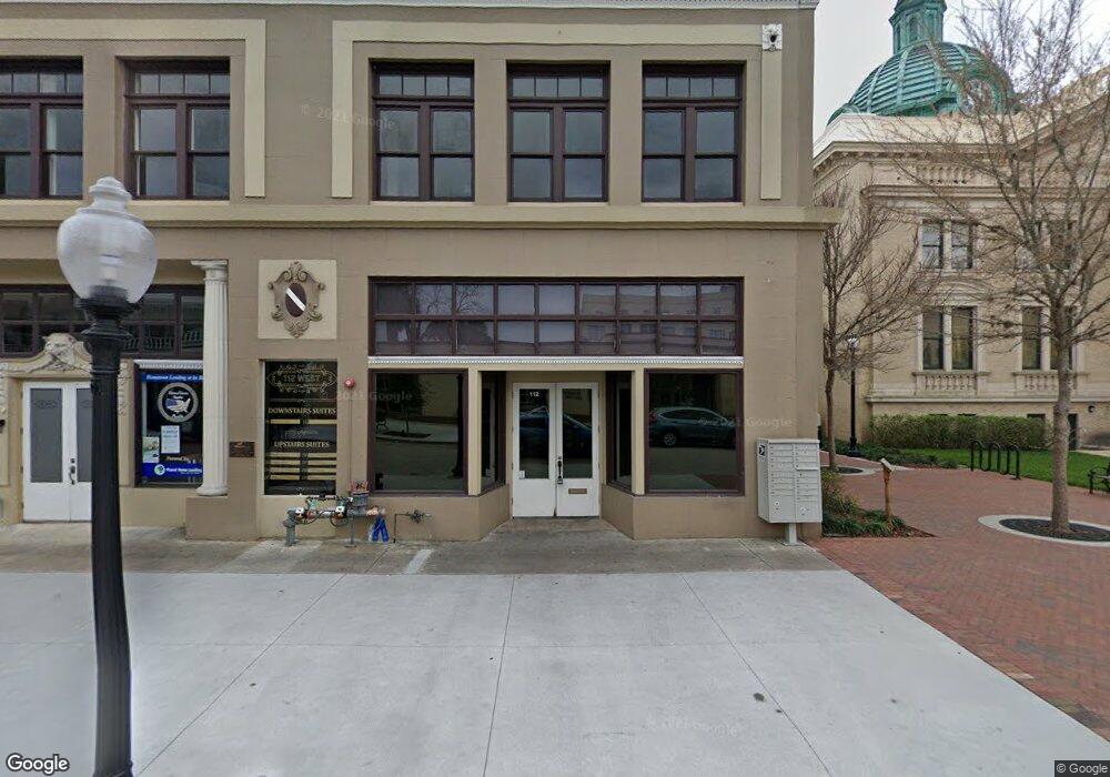
112 W Indiana Ave Unit 202 Deland, FL 32720
Estimated Value: $840,612
--
Bed
4
Baths
950
Sq Ft
$885/Sq Ft
Est. Value
About This Home
This home is located at 112 W Indiana Ave Unit 202, Deland, FL 32720 and is currently estimated at $840,612, approximately $884 per square foot. 112 W Indiana Ave Unit 202 is a home located in Volusia County with nearby schools including Deland High School, Woodward Avenue Elementary School, and Southwestern Middle School.
Ownership History
Date
Name
Owned For
Owner Type
Purchase Details
Closed on
May 27, 2014
Sold by
Chicago Title Insurance Co
Bought by
112 West Llc
Current Estimated Value
Home Financials for this Owner
Home Financials are based on the most recent Mortgage that was taken out on this home.
Original Mortgage
$325,000
Outstanding Balance
$176,767
Interest Rate
4.32%
Mortgage Type
Commercial
Estimated Equity
$663,845
Purchase Details
Closed on
Dec 15, 1986
Bought by
112 West Llc
Purchase Details
Closed on
Jan 15, 1986
Bought by
112 West Llc
Purchase Details
Closed on
Mar 15, 1973
Bought by
112 West Llc
Create a Home Valuation Report for This Property
The Home Valuation Report is an in-depth analysis detailing your home's value as well as a comparison with similar homes in the area
Home Values in the Area
Average Home Value in this Area
Purchase History
| Date | Buyer | Sale Price | Title Company |
|---|---|---|---|
| 112 West Llc | $350,000 | Fidelity National Title | |
| 112 West Llc | $44,600 | -- | |
| 112 West Llc | $296,400 | -- | |
| 112 West Llc | $100 | -- | |
| 112 West Llc | $35,000 | -- |
Source: Public Records
Mortgage History
| Date | Status | Borrower | Loan Amount |
|---|---|---|---|
| Open | 112 West Llc | $325,000 |
Source: Public Records
Tax History Compared to Growth
Tax History
| Year | Tax Paid | Tax Assessment Tax Assessment Total Assessment is a certain percentage of the fair market value that is determined by local assessors to be the total taxable value of land and additions on the property. | Land | Improvement |
|---|---|---|---|---|
| 2025 | $12,170 | $795,665 | $247,104 | $548,561 |
| 2024 | $12,170 | $787,859 | $247,104 | $540,755 |
| 2023 | $12,170 | $769,208 | $247,104 | $522,104 |
| 2022 | $11,129 | $675,483 | $216,216 | $459,267 |
| 2021 | $10,196 | $496,878 | $123,552 | $373,326 |
| 2020 | $9,643 | $510,226 | $123,552 | $386,674 |
| 2019 | $8,851 | $409,992 | $111,197 | $298,795 |
| 2018 | $8,795 | $390,709 | $111,197 | $279,512 |
| 2017 | $8,563 | $389,325 | $111,197 | $278,128 |
| 2016 | $7,512 | $329,513 | $0 | $0 |
| 2015 | $7,030 | $296,349 | $0 | $0 |
| 2014 | $7,862 | $323,774 | $0 | $0 |
Source: Public Records
Map
Nearby Homes
- 0 N Woodland Blvd Unit V4918224
- 113 S Woodland Blvd
- 125 W Voorhis Ave
- 205 E Voorhis Ave
- 0 Deland Unit MFRV4942835
- 0 Deland Unit 1213697
- 0 Deland Unit R11052053
- 333 E Church St
- 431 N Sans Souci Ave
- 404 N Clara Ave
- 324 S Osceola St
- 47 Villa Villar Ct Unit 470
- 351 S Osceola St
- 35 Villa Villar Ct Unit 35
- 9 Villa Villar Ct
- 221 W Euclid Ave
- 0 S Thompson St
- 13 Villa Villar Ct Unit 130
- 134 S Julia Ave
- 406 S Delaware Ave
- 112 W Indiana Ave
- 112 W Indiana Ave Unit 102
- 112 W Indiana Ave Unit 204
- 112 W Indiana Ave Unit 206
- 110 W Indiana Ave
- 112 N Woodland Blvd
- 111 W Indiana Ave
- 108 N Woodland Blvd
- 124 N Woodland Blvd
- 0 3275 Unit F10458739
- 132 N Woodland Blvd
- 134 N Woodland Blvd
- 136 N Woodland Blvd
- 119 N Woodland Blvd
- 117 N Woodland Blvd
- 140 W New York Ave
- 1283 White Ash Loop
- 1197 Majesty Palm Cir
- 0 Shell Harbor Rd Unit 106101
- 0 Confidential Ave Unit 507288