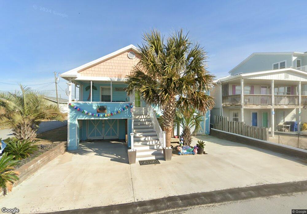
112 W Terminal Blvd Atlantic Beach, NC 28512
Estimated Value: $483,132 - $590,000
3
Beds
1
Bath
1,230
Sq Ft
$452/Sq Ft
Est. Value
About This Home
This home is located at 112 W Terminal Blvd, Atlantic Beach, NC 28512 and is currently estimated at $555,783, approximately $451 per square foot. 112 W Terminal Blvd is a home located in Carteret County with nearby schools including Morehead City Primary School, Morehead Elementary School at Camp Glenn, and Morehead City Middle School.
Ownership History
Date
Name
Owned For
Owner Type
Purchase Details
Closed on
Mar 31, 2011
Sold by
Oconor Thomas F and Oconor Katrina B
Bought by
Heck Gary H and Heck Janet J
Current Estimated Value
Home Financials for this Owner
Home Financials are based on the most recent Mortgage that was taken out on this home.
Original Mortgage
$160,000
Outstanding Balance
$8,684
Interest Rate
4.95%
Mortgage Type
New Conventional
Estimated Equity
$547,099
Purchase Details
Closed on
Jul 14, 2006
Sold by
Hebert William J
Bought by
Oconor Thomas F and Oconor Katrina B
Home Financials for this Owner
Home Financials are based on the most recent Mortgage that was taken out on this home.
Original Mortgage
$319,200
Interest Rate
6%
Mortgage Type
Unknown
Create a Home Valuation Report for This Property
The Home Valuation Report is an in-depth analysis detailing your home's value as well as a comparison with similar homes in the area
Home Values in the Area
Average Home Value in this Area
Purchase History
| Date | Buyer | Sale Price | Title Company |
|---|---|---|---|
| Heck Gary H | $200,000 | None Available | |
| Oconor Thomas F | $399,000 | None Available |
Source: Public Records
Mortgage History
| Date | Status | Borrower | Loan Amount |
|---|---|---|---|
| Open | Heck Gary H | $160,000 | |
| Previous Owner | Oconor Thomas F | $319,200 |
Source: Public Records
Tax History Compared to Growth
Tax History
| Year | Tax Paid | Tax Assessment Tax Assessment Total Assessment is a certain percentage of the fair market value that is determined by local assessors to be the total taxable value of land and additions on the property. | Land | Improvement |
|---|---|---|---|---|
| 2025 | $1,648 | $688,718 | $271,267 | $417,451 |
| 2024 | $907 | $238,013 | $77,900 | $160,113 |
| 2023 | $824 | $238,013 | $77,900 | $160,113 |
| 2022 | $800 | $238,013 | $77,900 | $160,113 |
| 2021 | $800 | $238,013 | $77,900 | $160,113 |
| 2020 | $800 | $238,013 | $77,900 | $160,113 |
| 2019 | $708 | $223,660 | $118,900 | $104,760 |
| 2017 | $708 | $223,660 | $118,900 | $104,760 |
| 2016 | $708 | $223,660 | $118,900 | $104,760 |
| 2015 | $686 | $223,660 | $118,900 | $104,760 |
| 2014 | $640 | $208,382 | $95,452 | $112,930 |
Source: Public Records
Map
Nearby Homes
- 117 W Bogue Blvd Unit A&B
- 117 W Bogue Blvd
- 108 W Terminal Blvd Unit B
- 108 N Kinston Ave
- 104 Atlantic Beach
- 100 Davis Blvd
- 113 E Atlantic Blvd
- 105 E Atlantic Blvd Unit 8
- 105 E Atlantic Blvd Unit 4
- 105 E Atlantic Blvd Unit 3
- 105 E Atlantic Blvd Unit 2
- 111 E Terminal Blvd
- 111 E Atlantic Blvd
- 208 Beaufort Ave Unit 1
- 503 W Bogue Blvd
- 415 W Boardwalk Blvd
- 121 Sound Dr
- 119 Center Dr Unit 3
- 119 Center Dr Unit 1
- 119 Center Dr Unit 4
- 110 W Terminal Blvd
- 127 W Terminal Blvd
- 200 W Terminal Blvd
- 202 W Terminal Blvd
- 119 W Bogue Blvd Unit 4
- 119 W Bogue Blvd Unit 2
- 119 W Bogue Blvd Unit 1
- 119 W Bogue Blvd Unit 3
- 119 W Bogue Blvd
- 115 W Bogue Blvd
- 111 W Terminal Blvd
- 104 W Terminal Blvd
- 201 W Bogue Blvd
- 117 W Bogue Blvd Unit B
- 117 W Bogue Blvd Unit 9B
- 107 W Terminal Blvd
- 107 W Terminal Blvd Unit B
- 201 W Terminal Blvd
- 111 W Bogue Blvd
- 204 W Terminal Blvd