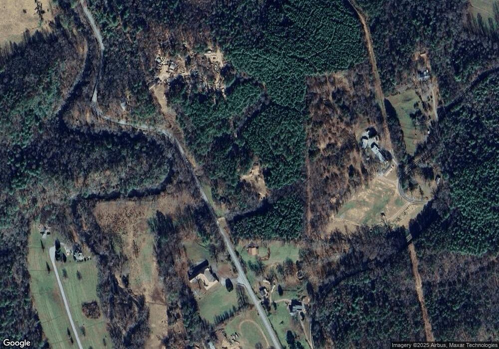
112 Whatever Way Brasstown, NC 28902
Brasstown NeighborhoodEstimated Value: $119,000 - $336,000
4
Beds
2
Baths
1,150
Sq Ft
$187/Sq Ft
Est. Value
About This Home
This home is located at 112 Whatever Way, Brasstown, NC 28902 and is currently estimated at $215,359, approximately $187 per square foot. 112 Whatever Way is a home with nearby schools including Hayesville Elementary School, Hayesville Middle School, and Hayesville High School.
Create a Home Valuation Report for This Property
The Home Valuation Report is an in-depth analysis detailing your home's value as well as a comparison with similar homes in the area
Home Values in the Area
Average Home Value in this Area
Tax History Compared to Growth
Tax History
| Year | Tax Paid | Tax Assessment Tax Assessment Total Assessment is a certain percentage of the fair market value that is determined by local assessors to be the total taxable value of land and additions on the property. | Land | Improvement |
|---|---|---|---|---|
| 2025 | $278 | $53,900 | $15,000 | $38,900 |
| 2024 | $278 | $53,900 | $15,000 | $38,900 |
| 2023 | $253 | $53,900 | $15,000 | $38,900 |
| 2022 | $0 | $53,900 | $15,000 | $38,900 |
| 2021 | $253 | $53,900 | $15,000 | $38,900 |
| 2020 | $253 | $53,900 | $15,000 | $38,900 |
| 2019 | $253 | $53,900 | $15,000 | $38,900 |
| 2018 | $253 | $53,900 | $15,000 | $38,900 |
| 2016 | -- | $61,219 | $21,750 | $39,469 |
| 2015 | -- | $61,219 | $21,750 | $39,469 |
| 2014 | -- | $61,219 | $21,750 | $39,469 |
Source: Public Records
Map
Nearby Homes
- 7492 Old Highway 64
- 7492 Old Highway 64 W
- 377 Trout Cove Rd
- 365 Trout Cove Rd
- 65 Trout Cove Rd
- 524 Prosperity
- 378 Trout Cove Rd
- 7908 Old Highway 64
- 461 Trout Cove Rd
- 441 Trout Cove Rd
- 102 Trout Cove Rd
- LT 53 Brasstown Trail
- 7295 Old Highway 64
- Lot 55 Brasstown Trail
- Lot 55 Prosperity None
- 7878 Old Highway 64
- LT 43 Brasstown Trail
- LOT 43 Brasstown Trail
- LOT 43 Brasstown Trail Unit 43
- LOT 47 Brasstown Trail
