112 Whistler Point Whittier, NC 28789
Estimated Value: $176,000 - $326,000
1
Bed
1
Bath
904
Sq Ft
$261/Sq Ft
Est. Value
About This Home
This home is located at 112 Whistler Point, Whittier, NC 28789 and is currently estimated at $236,317, approximately $261 per square foot. 112 Whistler Point is a home with nearby schools including Smokey Mountain Elementary School and Smoky Mountain High School.
Ownership History
Date
Name
Owned For
Owner Type
Purchase Details
Closed on
Dec 6, 2021
Sold by
Buffkin Tony and Buffkin Lynette
Bought by
Marsden Tonya Lynn and Marsden Daniel Franklin
Current Estimated Value
Home Financials for this Owner
Home Financials are based on the most recent Mortgage that was taken out on this home.
Original Mortgage
$97,000
Outstanding Balance
$89,191
Interest Rate
3.09%
Mortgage Type
New Conventional
Estimated Equity
$147,126
Purchase Details
Closed on
Oct 27, 2009
Sold by
Elliott Ronald P
Bought by
Buffkin Tony and Buffkin Lynette
Create a Home Valuation Report for This Property
The Home Valuation Report is an in-depth analysis detailing your home's value as well as a comparison with similar homes in the area
Home Values in the Area
Average Home Value in this Area
Purchase History
| Date | Buyer | Sale Price | Title Company |
|---|---|---|---|
| Marsden Tonya Lynn | $100,000 | Title Insurance Company | |
| Marsden Tony Lynn | $100,000 | None Listed On Document | |
| Buffkin Tony | $20,000 | -- |
Source: Public Records
Mortgage History
| Date | Status | Borrower | Loan Amount |
|---|---|---|---|
| Open | Marsden Tony Lynn | $97,000 | |
| Closed | Marsden Tony Lynn | $97,000 |
Source: Public Records
Tax History Compared to Growth
Tax History
| Year | Tax Paid | Tax Assessment Tax Assessment Total Assessment is a certain percentage of the fair market value that is determined by local assessors to be the total taxable value of land and additions on the property. | Land | Improvement |
|---|---|---|---|---|
| 2025 | $674 | $177,379 | $26,150 | $151,229 |
| 2024 | $503 | $132,260 | $30,400 | $101,860 |
| 2023 | $583 | $132,260 | $30,400 | $101,860 |
| 2022 | $583 | $132,260 | $30,400 | $101,860 |
| 2021 | $503 | $132,260 | $30,400 | $101,860 |
| 2020 | $486 | $111,410 | $19,200 | $92,210 |
| 2019 | $486 | $111,410 | $19,200 | $92,210 |
| 2018 | $486 | $111,410 | $19,200 | $92,210 |
| 2017 | $475 | $111,410 | $19,200 | $92,210 |
| 2015 | $380 | $111,410 | $19,200 | $92,210 |
| 2011 | -- | $113,060 | $27,200 | $85,860 |
Source: Public Records
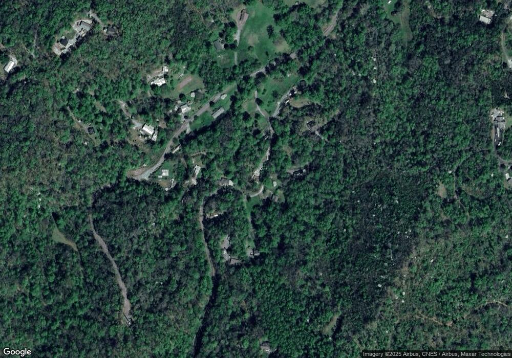
Map
Nearby Homes
- 136 Rider Ridge
- 0 Arrowhead Ln
- Lot 13 Oak View Rd
- 17 Oak View Rd
- Lot 16 Oak View Rd
- Lot 8 Oak View Rd
- 494 Lazy Ln
- 00 Arrowhead Ln
- 00 Cougar Ln
- 0 Us Hwy 441 Hwy N Unit 21,22 CAR4281588
- 0 Us Hwy 441 Hwy N Unit 26041304
- 179 Fresh Water Ridge Rd
- 71 Little Bit Trail
- TR 6 Little Bit Trail
- 213 Dewdrop Ln
- 267 Hensley Cemetery Rd
- 00 Lot 2 Blue Mist Trail
- Lot 46 Hartwell Ln
- 000 Levi Mathis Rd
- Lot 20 Vail Pass Rd
- 82 Whistler Point
- 184 Whistler Point
- 161 Whistler Point
- 479 Joe Branch Rd
- 54 Whistler Point
- 263 Whistler Point
- 405 Joe Branch Rd
- 75 Whistler Point
- 181 Whistler Point
- 14 Gloryland Way
- 511 Joe Branch Rd
- 73 Whistler Point
- 341 Whistler Point
- 95 Gloryland Way
- 350 Joe Branch Rd
- 52 Gloryland Way
- 352 Joe Branch Rd
- 211 Gloryland Way
- 680 Whistler Point
- 146 Joe Branch Rd