112 Wilson Ct Cripple Creek, CO 80813
Estimated Value: $334,000 - $398,000
2
Beds
1
Bath
1,340
Sq Ft
$272/Sq Ft
Est. Value
About This Home
This home is located at 112 Wilson Ct, Cripple Creek, CO 80813 and is currently estimated at $364,199, approximately $271 per square foot. 112 Wilson Ct is a home with nearby schools including Cresson Elementary School and Cripple Creek-Victor Junior/Senior High School.
Ownership History
Date
Name
Owned For
Owner Type
Purchase Details
Closed on
Oct 11, 2012
Sold by
Corcoran Carol R and Estate Of James F Corcoran
Bought by
Dreher Vern and Dreher Penny
Current Estimated Value
Home Financials for this Owner
Home Financials are based on the most recent Mortgage that was taken out on this home.
Original Mortgage
$117,000
Interest Rate
3.55%
Mortgage Type
Seller Take Back
Purchase Details
Closed on
Apr 13, 2010
Sold by
Faeth Thaddeus
Bought by
Rocky Mountain Land Llc
Create a Home Valuation Report for This Property
The Home Valuation Report is an in-depth analysis detailing your home's value as well as a comparison with similar homes in the area
Home Values in the Area
Average Home Value in this Area
Purchase History
| Date | Buyer | Sale Price | Title Company |
|---|---|---|---|
| Dreher Vern | $120,000 | Fnt | |
| Rocky Mountain Land Llc | -- | None Available |
Source: Public Records
Mortgage History
| Date | Status | Borrower | Loan Amount |
|---|---|---|---|
| Closed | Dreher Vern | $117,000 |
Source: Public Records
Tax History Compared to Growth
Tax History
| Year | Tax Paid | Tax Assessment Tax Assessment Total Assessment is a certain percentage of the fair market value that is determined by local assessors to be the total taxable value of land and additions on the property. | Land | Improvement |
|---|---|---|---|---|
| 2024 | $940 | $22,210 | $2,639 | $19,571 |
| 2023 | $940 | $22,210 | $2,640 | $19,570 |
| 2022 | $822 | $18,880 | $1,230 | $17,650 |
| 2021 | $850 | $19,420 | $1,260 | $18,160 |
| 2020 | $655 | $16,990 | $1,370 | $15,620 |
| 2019 | $651 | $16,990 | $0 | $0 |
| 2018 | $606 | $14,650 | $0 | $0 |
| 2017 | $604 | $14,650 | $0 | $0 |
| 2016 | $681 | $16,160 | $0 | $0 |
| 2015 | $696 | $16,160 | $0 | $0 |
| 2014 | $421 | $9,960 | $0 | $0 |
Source: Public Records
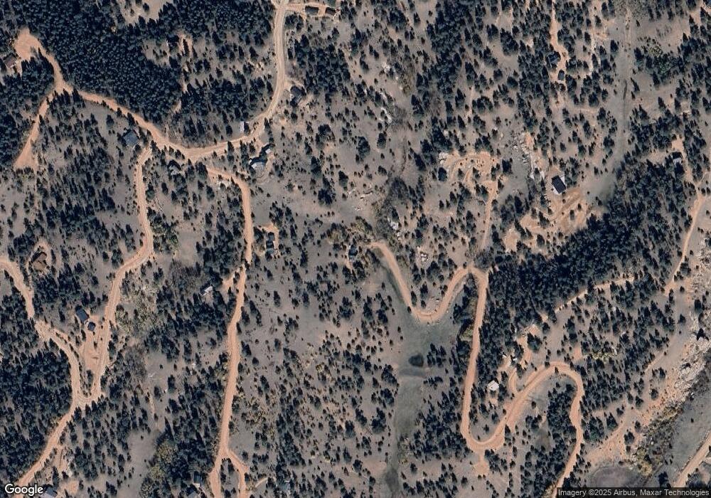
Map
Nearby Homes
- 1000 Bennett Dr
- 1058 Bennett Dr
- 257 Portland Dr
- 129 Portland Dr
- 191 Portland Dr
- 17 Red Cloud Cir
- 972 Anges Dr
- 456 Idlewood
- 153 Idlewood
- 1773 Troy Dr
- 372 Crystal Dr
- 935 Bennett Dr
- 216 & 252 Troy Dr
- 1402 Troy Dr
- 331 Troy Way
- 306 Troy Way
- 193 Independence Dr
- 621 Yorktown Rd
- 243 Andes Rd
- 172 Cortez Place Unit 40
- 0 Tbd Aspen St
- 0 Tbd County Road 61
- 0 Tbd County 61 Rd Unit 2507512
- 0 Tbd Tablerock Rd Unit 7243452
- 56 Midday Cir
- 84 Midday Cir
- 0 Tbd Crown Point Cir
- 0 Unassigned Crown Point Cir
- 312 Bennett Dr
- 29 Wilson Way
- 57 Wilson Ct
- 115 Midday Cir
- 345 Bennett Dr
- 218 Bennett Dr
- 190 Midday Cir
- 457 Midday Cir
- 381 Midday Cir
- 132 Midday Cir
- 457 & 495 Midday Cir
- 420 Wilson Way