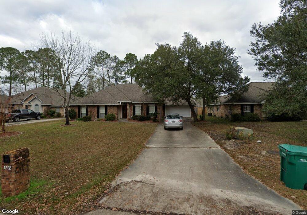
112 Woodruff Dr Slidell, LA 70461
Estimated Value: $309,430 - $347,000
4
Beds
2
Baths
2,170
Sq Ft
$152/Sq Ft
Est. Value
About This Home
This home is located at 112 Woodruff Dr, Slidell, LA 70461 and is currently estimated at $329,358, approximately $151 per square foot. 112 Woodruff Dr is a home located in St. Tammany Parish with nearby schools including Cypress Cove Elementary School, Little Oak Middle School, and Honey Island Elementary School.
Ownership History
Date
Name
Owned For
Owner Type
Purchase Details
Closed on
May 12, 2008
Sold by
Stewart James A and Stewart Anna Maly
Bought by
Taft Andrea Melancon
Current Estimated Value
Home Financials for this Owner
Home Financials are based on the most recent Mortgage that was taken out on this home.
Original Mortgage
$225,000
Outstanding Balance
$142,342
Interest Rate
5.86%
Mortgage Type
New Conventional
Estimated Equity
$187,016
Create a Home Valuation Report for This Property
The Home Valuation Report is an in-depth analysis detailing your home's value as well as a comparison with similar homes in the area
Home Values in the Area
Average Home Value in this Area
Purchase History
| Date | Buyer | Sale Price | Title Company |
|---|---|---|---|
| Taft Andrea Melancon | $245,000 | None Available |
Source: Public Records
Mortgage History
| Date | Status | Borrower | Loan Amount |
|---|---|---|---|
| Open | Taft Andrea Melancon | $225,000 |
Source: Public Records
Tax History Compared to Growth
Tax History
| Year | Tax Paid | Tax Assessment Tax Assessment Total Assessment is a certain percentage of the fair market value that is determined by local assessors to be the total taxable value of land and additions on the property. | Land | Improvement |
|---|---|---|---|---|
| 2024 | $2,394 | $25,978 | $3,500 | $22,478 |
| 2023 | $2,488 | $21,307 | $3,500 | $17,807 |
| 2022 | $202,882 | $21,307 | $3,500 | $17,807 |
| 2021 | $2,026 | $21,307 | $3,500 | $17,807 |
| 2020 | $2,016 | $21,307 | $3,500 | $17,807 |
| 2019 | $2,868 | $19,136 | $3,500 | $15,636 |
| 2018 | $2,879 | $19,136 | $3,500 | $15,636 |
| 2017 | $2,898 | $19,136 | $3,500 | $15,636 |
| 2016 | $2,965 | $19,136 | $3,500 | $15,636 |
| 2015 | $1,596 | $17,504 | $3,500 | $14,004 |
| 2014 | $1,594 | $17,504 | $3,500 | $14,004 |
| 2013 | -- | $17,504 | $3,500 | $14,004 |
Source: Public Records
Map
Nearby Homes
- 103 Wales Ct
- 834 Cross Gates Blvd
- 632 Whitney Dr
- 881 Cross Gates Blvd
- 111 Thatcher Dr
- 0 N 31 St St Unit 2530384
- 101 E Queensbury Dr
- 891 Cross Gates Blvd
- 301 Steele Rd
- 523 Rue de La Parc None
- 543 Cross Gates Blvd
- 523 Rue de La Parc Unit 8
- 555 Manchester Dr
- 805 Millers Lake Ct
- 700 S Lake Verret Ct
- 40477 Crawford Landing Rd
- 112 Honeywood Dr
- 317 Steele Rd
- 114 Woodruff Dr
- 114 Woodruff Other
- 110 Woodruff Dr
- 107 Wales Ct
- 116 Woodruff Dr
- 109 Wales Ct
- 108 Woodruff Dr
- 105 Wales Ct
- 111 Woodruff Dr
- 109 Woodruff Dr
- 118 Woodruff Dr
- 113 Woodruff Dr
- 107 Woodruff Dr
- 106 Woodruff Dr
- 108 Wales Ct
- 105 Woodruff Other
- 105 Woodruff Dr
- 100 Windsor Dr
- 101 Wales Ct
- 104 Woodruff Dr