112 Woods Way Dr Southbury, CT 06488
Estimated Value: $695,923 - $873,000
4
Beds
4
Baths
2,752
Sq Ft
$288/Sq Ft
Est. Value
About This Home
This home is located at 112 Woods Way Dr, Southbury, CT 06488 and is currently estimated at $792,731, approximately $288 per square foot. 112 Woods Way Dr is a home located in New Haven County with nearby schools including Long Meadow Elementary School, Memorial Middle School, and Pomperaug Regional High School.
Ownership History
Date
Name
Owned For
Owner Type
Purchase Details
Closed on
Oct 19, 2023
Sold by
Santoro Sandra A
Bought by
Santoro Sandra A and Santoro Michael D
Current Estimated Value
Home Financials for this Owner
Home Financials are based on the most recent Mortgage that was taken out on this home.
Original Mortgage
$900,000
Outstanding Balance
$899,712
Interest Rate
7.92%
Mortgage Type
Adjustable Rate Mortgage/ARM
Estimated Equity
-$106,981
Purchase Details
Closed on
Jul 7, 2010
Sold by
Santoro Michael
Bought by
Santoro Sandra
Purchase Details
Closed on
Sep 9, 1985
Bought by
Santoro Sandra A
Create a Home Valuation Report for This Property
The Home Valuation Report is an in-depth analysis detailing your home's value as well as a comparison with similar homes in the area
Home Values in the Area
Average Home Value in this Area
Purchase History
| Date | Buyer | Sale Price | Title Company |
|---|---|---|---|
| Santoro Sandra A | -- | None Available | |
| Santoro Sandra A | -- | None Available | |
| Santoro Sandra | -- | -- | |
| Santoro Sandra | -- | -- | |
| Santoro Sandra A | -- | -- |
Source: Public Records
Mortgage History
| Date | Status | Borrower | Loan Amount |
|---|---|---|---|
| Open | Santoro Sandra A | $900,000 | |
| Closed | Santoro Sandra A | $900,000 | |
| Closed | Santoro Sandra A | $900,000 | |
| Previous Owner | Santoro Sandra A | $106,000 | |
| Previous Owner | Santoro Sandra A | $113,000 | |
| Previous Owner | Santoro Sandra A | $135,000 |
Source: Public Records
Tax History Compared to Growth
Tax History
| Year | Tax Paid | Tax Assessment Tax Assessment Total Assessment is a certain percentage of the fair market value that is determined by local assessors to be the total taxable value of land and additions on the property. | Land | Improvement |
|---|---|---|---|---|
| 2025 | $9,261 | $382,700 | $88,270 | $294,430 |
| 2024 | $9,032 | $382,700 | $88,270 | $294,430 |
| 2023 | $8,611 | $382,700 | $88,270 | $294,430 |
| 2022 | $8,212 | $286,740 | $81,210 | $205,530 |
| 2021 | $8,401 | $286,740 | $81,210 | $205,530 |
| 2020 | $8,401 | $286,740 | $81,210 | $205,530 |
| 2019 | $8,344 | $286,740 | $81,210 | $205,530 |
| 2018 | $8,315 | $286,740 | $81,210 | $205,530 |
| 2017 | $8,253 | $281,670 | $92,640 | $189,030 |
| 2016 | $8,112 | $281,670 | $92,640 | $189,030 |
| 2015 | $7,999 | $281,670 | $92,640 | $189,030 |
| 2014 | $7,774 | $281,670 | $92,640 | $189,030 |
Source: Public Records
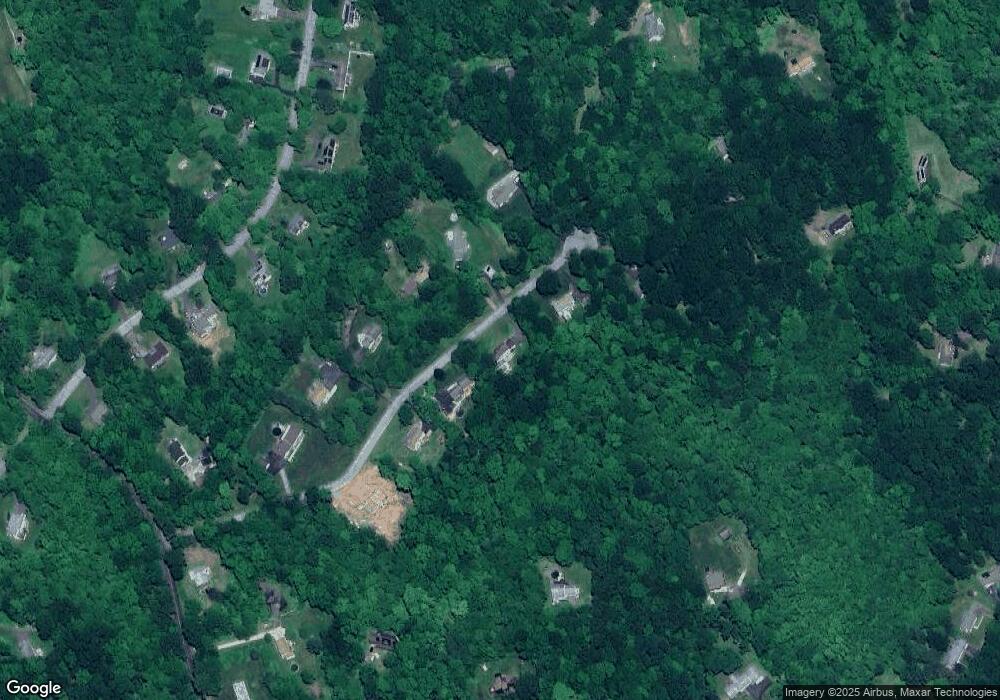
Map
Nearby Homes
- 74 Blueberry Ln
- 56 Blueberry Ln
- 295 Old Woodbury Rd
- 541 Judd Rd
- 1088 Old Waterbury Rd
- 212 Beecher Dr
- 0 N Benson Rd Unit 48 24129196
- 0 N Benson Rd Unit 50 24118969
- 0 N Benson Rd Unit 51 24117506
- 0 N Benson Rd Unit 59 24116892
- 0 N Benson Rd Unit 44 24109951
- 0 N Benson Rd Unit 52 24100213
- 0 N Benson Rd Unit 47 24099635
- 0 N Benson Rd Unit 46 24097231
- 0 N Benson Rd Unit 49 24096137
- 0 N Benson Rd Unit 66 24093726
- 0 N Benson Rd Unit 45 24089121
- 0 N Benson Rd Unit 53 24086541
- 0 N Benson Rd Unit 55 24086408
- 0 N Benson Rd Unit 64 24077175
- 98 Woods Way Dr
- 148 Woods Way Dr
- 86 Woods Way Dr
- 125 Woods Way Dr
- 89 Woods Way Dr
- 131 Woods Way Dr
- 216 Tuttle Rd
- 140 Tuttle Rd
- 85 Woods Way Dr
- 154 Woods Way Dr
- 151 Woods Way Dr
- 54 Woods Way Dr
- 90 Blueberry Ln
- 21 Woods Way Dr
- 114 Blueberry Ln
- 160 Woods Way Dr
- 252 Reservoir Rd
- 168 Tuttle Rd
- 153 Woods Way Dr
- 130 Blueberry Ln