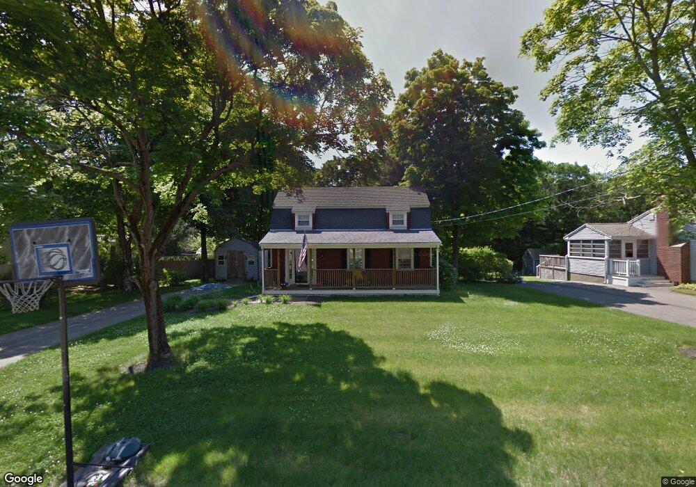
112 Wyman Rd Abington, MA 02351
Estimated Value: $569,461 - $595,000
3
Beds
2
Baths
1,536
Sq Ft
$378/Sq Ft
Est. Value
About This Home
This home is located at 112 Wyman Rd, Abington, MA 02351 and is currently estimated at $580,615, approximately $378 per square foot. 112 Wyman Rd is a home located in Plymouth County with nearby schools including Woodsdale School, Beaver Brook Elementary School, and Abington Middle School.
Ownership History
Date
Name
Owned For
Owner Type
Purchase Details
Closed on
Jun 27, 2003
Sold by
Ciesielski James M and Ciesielski Joanne E
Bought by
Murphy Douglas J
Current Estimated Value
Home Financials for this Owner
Home Financials are based on the most recent Mortgage that was taken out on this home.
Original Mortgage
$195,000
Interest Rate
5.53%
Mortgage Type
Purchase Money Mortgage
Purchase Details
Closed on
Aug 28, 1996
Sold by
Davenport Robert G and Davenport Joan M
Bought by
Ciesielski James M and Murphy Joanne E
Create a Home Valuation Report for This Property
The Home Valuation Report is an in-depth analysis detailing your home's value as well as a comparison with similar homes in the area
Home Values in the Area
Average Home Value in this Area
Purchase History
| Date | Buyer | Sale Price | Title Company |
|---|---|---|---|
| Murphy Douglas J | $335,000 | -- | |
| Ciesielski James M | $144,000 | -- |
Source: Public Records
Mortgage History
| Date | Status | Borrower | Loan Amount |
|---|---|---|---|
| Open | Ciesielski James M | $168,000 | |
| Closed | Ciesielski James M | $195,000 | |
| Previous Owner | Ciesielski James M | $170,000 | |
| Previous Owner | Ciesielski James M | $20,000 |
Source: Public Records
Tax History Compared to Growth
Tax History
| Year | Tax Paid | Tax Assessment Tax Assessment Total Assessment is a certain percentage of the fair market value that is determined by local assessors to be the total taxable value of land and additions on the property. | Land | Improvement |
|---|---|---|---|---|
| 2025 | $6,554 | $501,800 | $264,800 | $237,000 |
| 2024 | $6,305 | $471,200 | $240,900 | $230,300 |
| 2023 | $6,026 | $424,100 | $219,200 | $204,900 |
| 2022 | $5,800 | $381,100 | $182,900 | $198,200 |
| 2021 | $5,249 | $318,500 | $166,800 | $151,700 |
| 2020 | $5,534 | $325,500 | $168,000 | $157,500 |
| 2019 | $5,288 | $304,100 | $161,100 | $143,000 |
| 2018 | $5,136 | $288,200 | $161,100 | $127,100 |
| 2017 | $5,066 | $276,100 | $161,100 | $115,000 |
| 2016 | $4,603 | $256,700 | $146,900 | $109,800 |
| 2015 | $4,658 | $274,000 | $146,900 | $127,100 |
Source: Public Records
Map
Nearby Homes