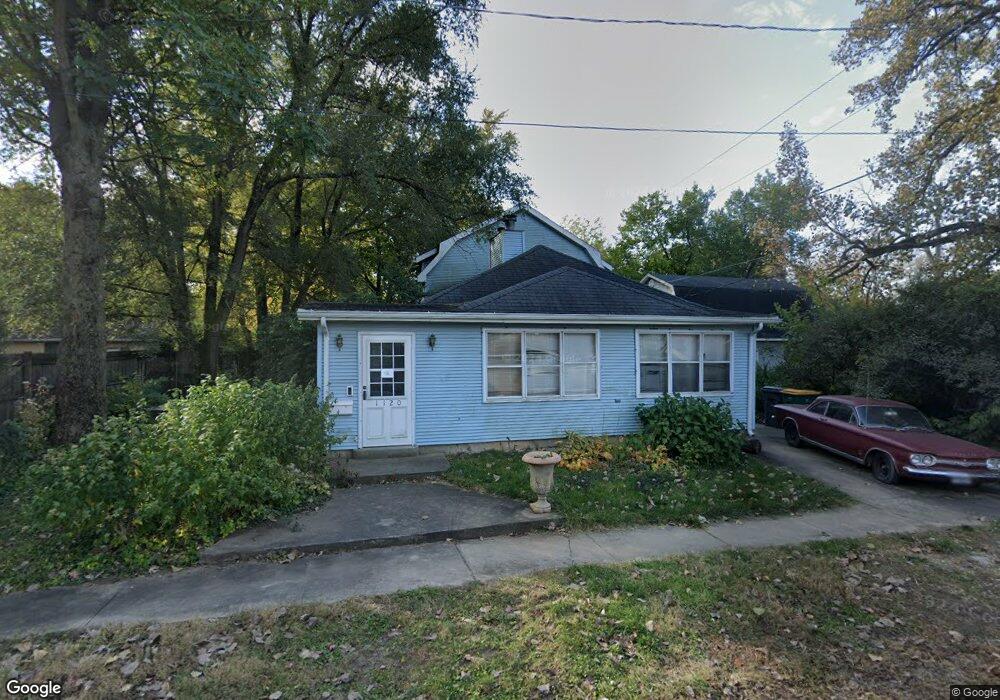
1120 2nd Ave Joliet, IL 60433
Southeast Joliet NeighborhoodEstimated Value: $145,000 - $255,000
--
Bed
--
Bath
1,466
Sq Ft
$144/Sq Ft
Est. Value
About This Home
This home is located at 1120 2nd Ave, Joliet, IL 60433 and is currently estimated at $210,908, approximately $143 per square foot. 1120 2nd Ave is a home located in Will County with nearby schools including T.E. Culbertson Elementary School, Washington Jr. High School and Academy, and Joliet Central High School.
Ownership History
Date
Name
Owned For
Owner Type
Purchase Details
Closed on
Dec 27, 2002
Sold by
Ferris Joel
Bought by
Ferris Joel and Ferris Patricia
Current Estimated Value
Purchase Details
Closed on
Aug 11, 1998
Sold by
Wolz David
Bought by
Ferris Joel L and Ferris Patricia L
Purchase Details
Closed on
Dec 22, 1997
Sold by
Will County
Bought by
Wolz David
Create a Home Valuation Report for This Property
The Home Valuation Report is an in-depth analysis detailing your home's value as well as a comparison with similar homes in the area
Home Values in the Area
Average Home Value in this Area
Purchase History
| Date | Buyer | Sale Price | Title Company |
|---|---|---|---|
| Ferris Joel | -- | -- | |
| Ferris Joel L | $500 | -- | |
| Wolz David | -- | -- |
Source: Public Records
Tax History Compared to Growth
Tax History
| Year | Tax Paid | Tax Assessment Tax Assessment Total Assessment is a certain percentage of the fair market value that is determined by local assessors to be the total taxable value of land and additions on the property. | Land | Improvement |
|---|---|---|---|---|
| 2024 | $3,928 | $54,893 | $24,498 | $30,395 |
| 2023 | $3,928 | $48,772 | $21,766 | $27,006 |
| 2022 | $3,520 | $44,118 | $19,689 | $24,429 |
| 2021 | $3,309 | $41,205 | $18,389 | $22,816 |
| 2020 | $3,157 | $39,131 | $17,463 | $21,668 |
| 2019 | $2,918 | $36,368 | $16,230 | $20,138 |
| 2018 | $2,751 | $33,605 | $14,997 | $18,608 |
| 2017 | $2,536 | $30,553 | $13,635 | $16,918 |
| 2016 | $2,427 | $28,582 | $12,478 | $16,104 |
| 2015 | $2,293 | $26,800 | $11,700 | $15,100 |
| 2014 | $2,293 | $26,650 | $11,650 | $15,000 |
| 2013 | $2,293 | $29,082 | $12,969 | $16,113 |
Source: Public Records
Map
Nearby Homes
- 111 Court St
- 106 Hillsdale Rd
- 309 Oakview Ave
- 110 Arizona Ave
- 1516 E Washington St
- 302 S Briggs St
- 657 Whitley Ave
- 709 Henry St
- 707 Henry St
- 618 Florence Ave
- 608 Whitley Ave
- 806 Spencer St
- 608 E Washington St
- 616 Norton Ave
- 4 Peale St
- 2 Peale St
- Lot Spencer Rd
- 1106 Sterling Ave
- 507 Whitley Ave
- 1602 E Cass St