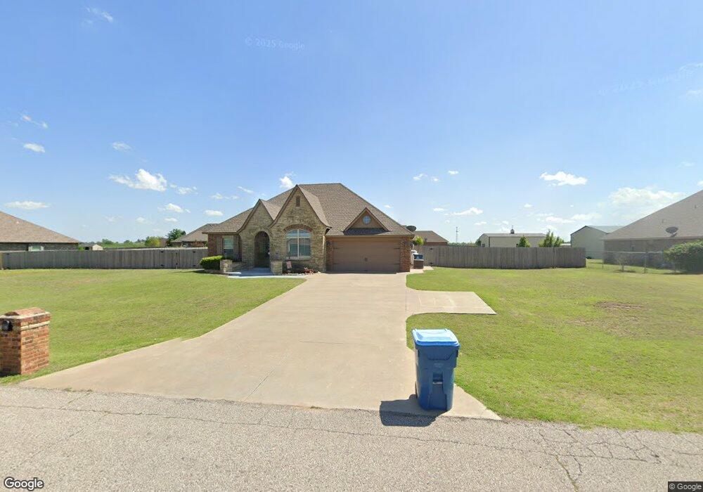
1120 Abraham Dr Tuttle, OK 73089
Estimated Value: $307,000 - $324,000
About This Home
This home is located at 1120 Abraham Dr, Tuttle, OK 73089 and is currently estimated at $313,333, approximately $208 per square foot. 1120 Abraham Dr is a home with nearby schools including Tuttle Elementary School, Tuttle Intermediate School, and Tuttle Middle School.
Ownership History
We collect this data history from publicly available records. To have your information removed, we recommend requesting removal directly through your county’s website.
Purchase Details
Purchase Details
Purchase Details
Home Financials for this Owner
Home Financials are based on the most recent Mortgage that was taken out on this home.Home Values in the Area
Average Home Value in this Area
Purchase History
We collect this data history from publicly available records. To have your information removed, we recommend requesting removal directly through your county’s website.
| Date | Buyer | Sale Price | Title Company |
|---|---|---|---|
| -- | None Listed On Document | ||
| $176,100 | -- | ||
| $22,000 | None Available |
Mortgage History
We collect this data history from publicly available records. To have your information removed, we recommend requesting removal directly through your county’s website.
| Date | Status | Borrower | Loan Amount |
|---|---|---|---|
| Previous Owner | $146,657 |
Tax History
We collect this data history from publicly available records. To have your information removed, we recommend requesting removal directly through your county’s website.
| Year | Tax Paid | Tax Assessment Tax Assessment Total Assessment is a certain percentage of the fair market value that is determined by local assessors to be the total taxable value of land and additions on the property. | Land | Improvement |
|---|---|---|---|---|
| 2025 | $2,650 | $26,150 | $3,026 | $23,124 |
| 2024 | $2,770 | $25,388 | $2,938 | $22,450 |
| 2023 | $2,770 | $24,649 | $3,149 | $21,500 |
| 2022 | $2,507 | $23,824 | $2,716 | $21,108 |
| 2021 | $2,441 | $23,131 | $2,747 | $20,384 |
| 2020 | $2,391 | $22,456 | $2,643 | $19,813 |
| 2019 | $2,278 | $21,803 | $2,511 | $19,292 |
| 2018 | $2,086 | $21,168 | $2,429 | $18,739 |
| 2017 | $2,075 | $20,551 | $2,196 | $18,355 |
| 2016 | $2,048 | $19,953 | $2,094 | $17,859 |
| 2015 | $1 | $19,372 | $2,420 | $16,952 |
| 2014 | $1 | $6 | $6 | $0 |
Map
- 803 N Richland Rd
- 1112 Ella Dr
- 0 Frisco Rd
- 508 E Main St
- 106 Englebretson Ln
- 1330 E Silver City Ridge
- 104 SE 2nd St
- 503 Cantebury Dr
- 102 SE 1st St
- 516 Kings Ct
- 202 W Pine St
- 201 W Holly
- 601 S Frisco Rd
- 215 N Cemetery Rd
- 209 Williams Ave
- 16 Wolf Ln
- 1301 E Rock Creek Rd
- 7 Southpointe Ave
- 9 Southpointe Ave
- 579 N Cemetery Rd
- 1200 Abraham Dr
- 1105 Daniel Way
- 1100 Abraham Dr
- 1119 Abraham Dr
- 1117 Daniel Way
- 1201 Abraham Dr
- 1101 Abraham Dr
- 1220 Abraham Dr
- 1221 Abraham Dr
- 1215 Daniel Way
- 1019 Covenant Blvd
- 1023 Abraham Dr
- 619 Joshua Dr
- 1202 Daniel Way
- 1212 Daniel Way
- 1222 Daniel Way
- 1224 Abraham Dr
- 1225 Daniel Way
- 1227 Abraham Dr
- 622 N Richland Rd
Ask me questions while you tour the home.