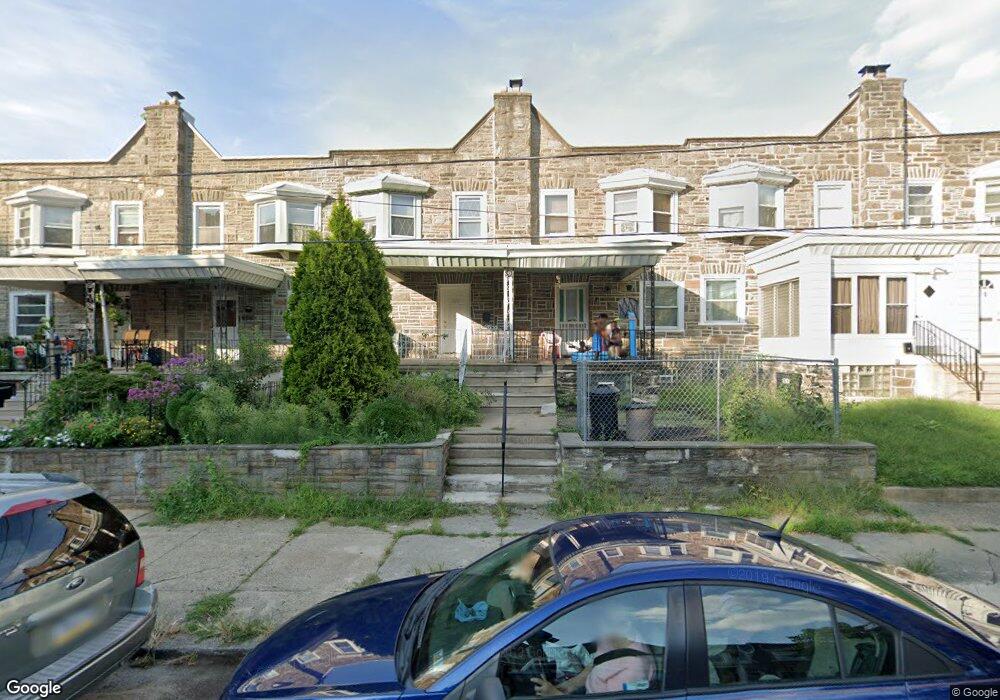
1120 Arrott St Philadelphia, PA 19124
Frankford NeighborhoodEstimated Value: $244,000 - $305,000
--
Bed
--
Bath
1,721
Sq Ft
$153/Sq Ft
Est. Value
About This Home
This home is located at 1120 Arrott St, Philadelphia, PA 19124 and is currently estimated at $263,190, approximately $152 per square foot. 1120 Arrott St is a home located in Philadelphia County with nearby schools including John Marshall School, Harding Warren G Middle School, and Frankford High School.
Ownership History
Date
Name
Owned For
Owner Type
Purchase Details
Closed on
Apr 4, 2003
Sold by
Corbin Milton F
Bought by
Corbin Milton F and Corbin Alyce
Current Estimated Value
Home Financials for this Owner
Home Financials are based on the most recent Mortgage that was taken out on this home.
Original Mortgage
$71,000
Interest Rate
5.75%
Purchase Details
Closed on
Dec 30, 1996
Sold by
Long Rosemarie and Sullivan Nancy R
Bought by
Corbin Milton F
Create a Home Valuation Report for This Property
The Home Valuation Report is an in-depth analysis detailing your home's value as well as a comparison with similar homes in the area
Home Values in the Area
Average Home Value in this Area
Purchase History
| Date | Buyer | Sale Price | Title Company |
|---|---|---|---|
| Corbin Milton F | -- | -- | |
| Corbin Milton F | $73,000 | -- |
Source: Public Records
Mortgage History
| Date | Status | Borrower | Loan Amount |
|---|---|---|---|
| Closed | Corbin Milton F | $71,000 |
Source: Public Records
Tax History Compared to Growth
Tax History
| Year | Tax Paid | Tax Assessment Tax Assessment Total Assessment is a certain percentage of the fair market value that is determined by local assessors to be the total taxable value of land and additions on the property. | Land | Improvement |
|---|---|---|---|---|
| 2026 | $2,356 | $251,200 | $50,200 | $201,000 |
| 2025 | $2,356 | $251,200 | $50,200 | $201,000 |
| 2024 | $2,356 | $251,200 | $50,200 | $201,000 |
| 2023 | $2,356 | $168,300 | $33,660 | $134,640 |
| 2022 | $1,249 | $168,300 | $33,660 | $134,640 |
| 2021 | $1,249 | $0 | $0 | $0 |
| 2020 | $1,249 | $0 | $0 | $0 |
| 2019 | $1,246 | $0 | $0 | $0 |
| 2018 | $1,685 | $0 | $0 | $0 |
| 2017 | $1,685 | $0 | $0 | $0 |
| 2016 | $1,685 | $0 | $0 | $0 |
| 2015 | $1,613 | $0 | $0 | $0 |
| 2014 | -- | $120,400 | $65,415 | $54,985 |
| 2012 | -- | $14,976 | $4,899 | $10,077 |
Source: Public Records
Map
Nearby Homes
- 4600 Horrocks St
- 4632 Oakland St
- 1241 Orthodox St
- 1001-3 Arrott St
- 4717 Northwood St
- 4628 Pilling St
- 4626 Pilling St
- 1300 Harrison St
- 4431 Oakland St
- 1335 Fillmore St
- 1052 Allengrove St
- 4665 Leiper St
- 1859 Harrison St
- 1338-40 Sellers St
- 1242 48 Adams Ave
- 1208 Unity St
- 1348 Sellers St
- 4720 Penn St
- 926 Foulkrod St
- 4461 Leiper St
- 1112 Arrott St
- 1116 Arrott St
- 1124 Arrott St
- 1128 Arrott St
- 1108 Arrott St
- 1132 Arrott St
- 1104 Arrott St
- 1117 Overington St
- 1115 Overington St
- 1119 Overington St
- 1121 Overington St
- 1113 Overington St
- 1123 Overington St
- 1136 Arrott St
- 1109 Overington St
- 1111 Overington St
- 4655 Large St
- 1125 Overington St
- 1100 Arrott St
- 1127 Overington St