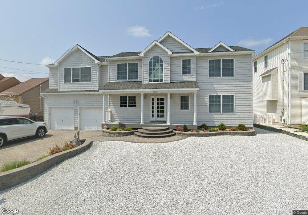
1120 Capstan Dr Forked River, NJ 08731
Estimated Value: $821,199 - $935,000
4
Beds
3
Baths
1,989
Sq Ft
$437/Sq Ft
Est. Value
About This Home
This home is located at 1120 Capstan Dr, Forked River, NJ 08731 and is currently estimated at $868,300, approximately $436 per square foot. 1120 Capstan Dr is a home located in Ocean County with nearby schools including Lacey Township High School.
Ownership History
Date
Name
Owned For
Owner Type
Purchase Details
Closed on
Sep 11, 2014
Sold by
Amsell Loren B
Bought by
Strycharz Michael
Current Estimated Value
Purchase Details
Closed on
Oct 27, 1999
Sold by
Bevan John J and Bevan Patricia A
Bought by
Strycharz Michael and Amsell Loren B
Home Financials for this Owner
Home Financials are based on the most recent Mortgage that was taken out on this home.
Original Mortgage
$184,000
Interest Rate
7.77%
Purchase Details
Closed on
Jan 24, 1997
Sold by
Barnegat Realty
Bought by
Bevan Jack and Bevan Patricia
Create a Home Valuation Report for This Property
The Home Valuation Report is an in-depth analysis detailing your home's value as well as a comparison with similar homes in the area
Home Values in the Area
Average Home Value in this Area
Purchase History
| Date | Buyer | Sale Price | Title Company |
|---|---|---|---|
| Strycharz Michael | -- | None Available | |
| Strycharz Michael | $230,000 | Commonwealth Land Title Ins | |
| Bevan Jack | $145,000 | -- |
Source: Public Records
Mortgage History
| Date | Status | Borrower | Loan Amount |
|---|---|---|---|
| Previous Owner | Strycharz Michael | $184,000 |
Source: Public Records
Tax History
| Year | Tax Paid | Tax Assessment Tax Assessment Total Assessment is a certain percentage of the fair market value that is determined by local assessors to be the total taxable value of land and additions on the property. | Land | Improvement |
|---|---|---|---|---|
| 2025 | $11,155 | $440,200 | $192,100 | $248,100 |
| 2024 | $10,428 | $440,200 | $192,100 | $248,100 |
Source: Public Records
Map
Nearby Homes
- 1025 Capstan Dr
- 814 Ensign Dr
- 986 Capstan Dr
- 0 Windward Dr Unit NJOC2039288
- 0 Windward Dr Unit 22601526
- 915 Shenandoah Dr
- 715 Richmond Dr
- 709 Richmond Dr
- 510 Conifer Dr
- 1029 Bowsprit Point
- 0 Union Ct Unit 22605987
- 802 E Hickory Dr
- 826 Hazelton Ave
- 606 Bowsprit Point
- 1001 Painter Point
- 821 Bunnell St
- 710 Hazelton Ave
- 330 Riviera Dr
- 905 Clairmore Ave
- 416 Chestnut Dr
- 1122 Capstan Dr
- 1118 Capstan Dr
- 1116 Capstan Dr
- 1124 Capstan Dr
- 1199 Capstan Dr
- 1197 Capstan Dr
- 1205 Ariel Dr
- 1201 Capstan Dr
- 1204 Ariel Dr
- 1206 Ariel Dr
- 1114 Capstan Dr
- 1195 Capstan Dr
- 1126 Capstan Dr
- 1202 Ariel Dr
- 1207 Ariel Dr
- 1203 Capstan Dr
- 1110 Capstan Dr
- 1201 Ariel Dr
- 1204 Capstan Dr
- 1200 Capstan Dr
Your Personal Tour Guide
Ask me questions while you tour the home.