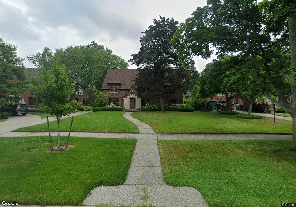
1120 Devonshire Rd Grosse Pointe Park, MI 48230
Estimated Value: $862,758 - $1,175,000
7
Beds
5
Baths
4,500
Sq Ft
$221/Sq Ft
Est. Value
About This Home
This home is located at 1120 Devonshire Rd, Grosse Pointe Park, MI 48230 and is currently estimated at $994,919, approximately $221 per square foot. 1120 Devonshire Rd is a home located in Wayne County with nearby schools including George Defer Elementary School, Pierce Middle School, and Grosse Pointe South High School.
Ownership History
Date
Name
Owned For
Owner Type
Purchase Details
Closed on
Mar 1, 2023
Sold by
Betzer Kiersten H and Betzer Thomas
Bought by
Betzer Kiersten H and Betzer Thomas
Current Estimated Value
Purchase Details
Closed on
Nov 30, 2015
Sold by
Betzer Kiersten H and Taber Kiersten H
Bought by
Betzer Kiersten H and Betzer Thomas
Home Financials for this Owner
Home Financials are based on the most recent Mortgage that was taken out on this home.
Original Mortgage
$406,000
Interest Rate
3.75%
Mortgage Type
New Conventional
Purchase Details
Closed on
Feb 10, 2011
Sold by
Camitta Hugh D and Snyder Louise A
Bought by
Taber Kiersten H
Create a Home Valuation Report for This Property
The Home Valuation Report is an in-depth analysis detailing your home's value as well as a comparison with similar homes in the area
Home Values in the Area
Average Home Value in this Area
Purchase History
| Date | Buyer | Sale Price | Title Company |
|---|---|---|---|
| Betzer Kiersten H | -- | -- | |
| Betzer Kiersten H | -- | None Listed On Document | |
| Betzer Kiersten H | -- | None Available | |
| Taber Kiersten H | $460,000 | None Available |
Source: Public Records
Mortgage History
| Date | Status | Borrower | Loan Amount |
|---|---|---|---|
| Previous Owner | Betzer Kiersten H | $406,000 |
Source: Public Records
Tax History
| Year | Tax Paid | Tax Assessment Tax Assessment Total Assessment is a certain percentage of the fair market value that is determined by local assessors to be the total taxable value of land and additions on the property. | Land | Improvement |
|---|---|---|---|---|
| 2025 | $6,139 | $373,700 | $0 | $0 |
| 2024 | $5,909 | $349,700 | $0 | $0 |
| 2023 | $5,642 | $320,300 | $0 | $0 |
| 2022 | $5,360 | $294,000 | $0 | $0 |
| 2021 | $10,570 | $275,800 | $0 | $0 |
| 2019 | $10,877 | $266,500 | $0 | $0 |
| 2018 | $5,111 | $228,000 | $0 | $0 |
| 2017 | $11,338 | $175,200 | $0 | $0 |
| 2016 | $10,626 | $240,800 | $0 | $0 |
| 2015 | $19,117 | $224,000 | $0 | $0 |
| 2013 | $18,520 | $188,600 | $0 | $0 |
| 2012 | $5,276 | $198,900 | $65,600 | $133,300 |
Source: Public Records
Map
Nearby Homes
- 1206 Balfour St
- 943 Harcourt Rd Unit 45
- 1338 Somerset Ave
- 1254 Beaconsfield Ave
- 1048 Lakepointe St Unit A
- 74 Pointe Park Place Unit 311
- 1083 Lakepointe St
- 3430 Bedford St
- 32 Pointe Park Place Unit 31
- 26 Pointe Park Place Unit 303
- 1264 Bishop Rd
- 815 Harcourt Rd Unit 2
- 3460 Bedford St
- 1328 Lakepointe St
- 814 Harcourt Rd Unit 816
- 1030 Bishop Rd
- 796 Harcourt Rd Unit 98
- 1239 Maryland St
- 1417 Beaconsfield Ave
- 612 Cadieux Rd
- 1112 Devonshire Rd
- 1128 Devonshire Rd
- 1119 Bedford Rd
- 1100 Devonshire Rd
- 1127 Bedford Rd
- 1138 Devonshire Rd
- 1113 Bedford Rd
- 1135 Bedford Rd
- 1105 Bedford Rd
- 1145 Bedford Rd
- 1119 Devonshire Rd
- 1111 Devonshire Rd
- 1135 Devonshire Rd
- 1103 Devonshire Rd
- 1072 Devonshire Rd
- 1120 Bedford Rd
- 1152 Devonshire Rd
- 1128 Bedford Rd
- 1149 Bedford Rd
- 1114 Bedford Rd
Your Personal Tour Guide
Ask me questions while you tour the home.