1120 E Avery Station Rd Factoryville, PA 18419
Estimated Value: $99,083 - $339,000
--
Bed
--
Bath
--
Sq Ft
3.26
Acres
About This Home
This home is located at 1120 E Avery Station Rd, Factoryville, PA 18419 and is currently estimated at $216,361. 1120 E Avery Station Rd is a home located in Wyoming County with nearby schools including Tunkhannock Middle School and Tunkhannock High School.
Ownership History
Date
Name
Owned For
Owner Type
Purchase Details
Closed on
Sep 5, 2016
Sold by
Cook Alisha J and Cook Walton E
Bought by
Comm Of Pa Dept Of Environmental Resoure
Current Estimated Value
Purchase Details
Closed on
May 30, 2007
Sold by
Smith Matthew J and Kinney Danielle M
Bought by
Snyder Jeffrey D and Patton Constance A
Home Financials for this Owner
Home Financials are based on the most recent Mortgage that was taken out on this home.
Original Mortgage
$52,800
Interest Rate
6.24%
Mortgage Type
Small Business Administration
Create a Home Valuation Report for This Property
The Home Valuation Report is an in-depth analysis detailing your home's value as well as a comparison with similar homes in the area
Home Values in the Area
Average Home Value in this Area
Purchase History
| Date | Buyer | Sale Price | Title Company |
|---|---|---|---|
| Comm Of Pa Dept Of Environmental Resoure | -- | None Available | |
| Snyder Jeffrey D | $69,500 | None Available |
Source: Public Records
Mortgage History
| Date | Status | Borrower | Loan Amount |
|---|---|---|---|
| Previous Owner | Snyder Jeffrey D | $52,800 |
Source: Public Records
Tax History Compared to Growth
Tax History
| Year | Tax Paid | Tax Assessment Tax Assessment Total Assessment is a certain percentage of the fair market value that is determined by local assessors to be the total taxable value of land and additions on the property. | Land | Improvement |
|---|---|---|---|---|
| 2025 | $1,510 | $12,900 | $3,950 | $8,950 |
| 2024 | $1,484 | $12,900 | $3,950 | $8,950 |
| 2023 | $1,458 | $12,900 | $3,950 | $8,950 |
| 2022 | $1,439 | $12,900 | $3,950 | $8,950 |
| 2021 | $1,407 | $12,900 | $3,950 | $8,950 |
| 2020 | $1,407 | $12,900 | $3,950 | $8,950 |
| 2019 | $1,381 | $12,900 | $3,950 | $8,950 |
| 2018 | $1,349 | $12,900 | $3,950 | $8,950 |
| 2017 | $1,329 | $0 | $0 | $0 |
| 2016 | -- | $0 | $0 | $0 |
| 2015 | -- | $0 | $0 | $0 |
| 2014 | -- | $0 | $0 | $0 |
Source: Public Records
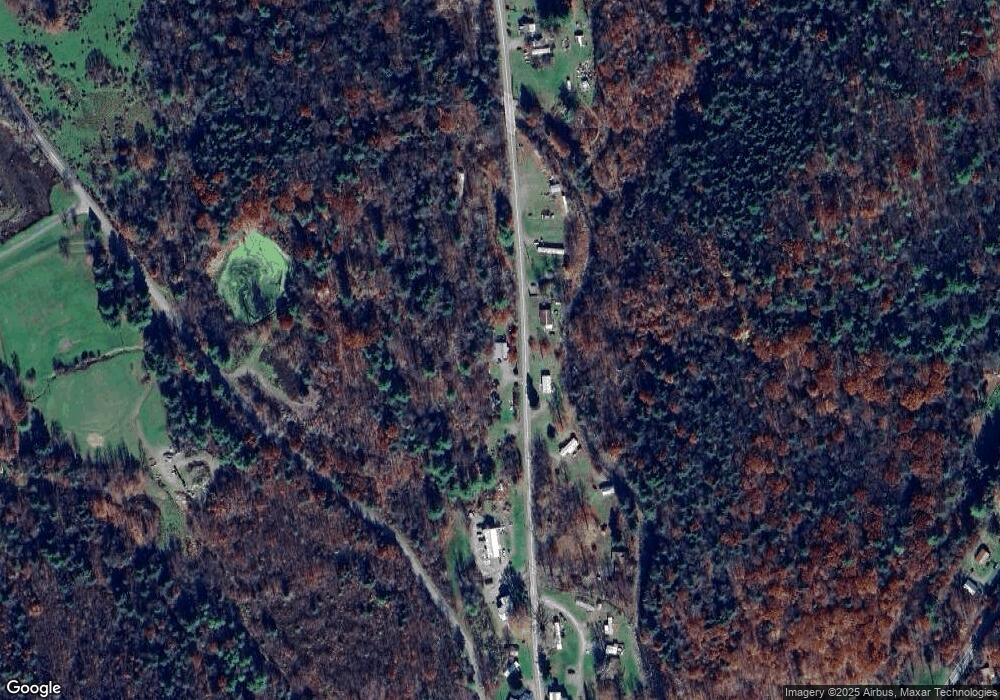
Map
Nearby Homes
- 828 W Avery Station Rd
- 227 Henry Holod Rd
- 1598 State Route 6
- 9 Marcy Rd
- 65 Clinton Dr
- 306 State Route 1008
- 6 1/2 Indian Spring Rd
- 30 Indian Spring Rd
- 45 Highpoint Dr
- 229 Knollridge Dr Unit 5
- 106 Lexington Dr Unit 1
- 217 Knollridge Dr Unit 11
- 217 Knollridge Dr Unit 9
- 32 Shore Dr
- 14 Concord Ave
- Lot 81 Eastwoods Rd
- L77 Eastwoods Rd
- 180 Savage Rd
- L109 Waterview Ct
- 53 Eastwoods Rd
- 125 Forba Rd
- 213 Forba Rd
- 1185 E Avery Station Rd
- 1149 E Avery Station Rd
- 1137 E Avery Station Rd
- 1115 E Avery Station Rd
- 1109 E Avery Station Rd
- 1166 E Avery Station Rd
- 1178 E Avery Station Rd
- 1182 E Avery Station Rd
- 1143 W Avery Station Rd
- 1175 Avery Station Rd
- 821 Sr 92 N
- 823 Sr 92 N
- 835 Sr 92 N
- 813 Sr 92 N
- 843 Sr 92 N
- 811 Sr 92 N
- 138 Vago Rd
- 826 Sr 92 N