Estimated Value: $534,000 - $737,549
3
Beds
2
Baths
2,136
Sq Ft
$292/Sq Ft
Est. Value
About This Home
This home is located at 1120 E Locust Ln, Nampa, ID 83686 and is currently estimated at $623,887, approximately $292 per square foot. 1120 E Locust Ln is a home located in Canyon County with nearby schools including Lake Ridge Elementary School, South Middle School, and Skyview High School.
Ownership History
Date
Name
Owned For
Owner Type
Purchase Details
Closed on
Oct 11, 2023
Sold by
Ward Neal S and Ward Beverly J
Bought by
Neal & Beverly Ward Family Trust and Ward
Current Estimated Value
Home Financials for this Owner
Home Financials are based on the most recent Mortgage that was taken out on this home.
Original Mortgage
$25,000
Outstanding Balance
$22,996
Interest Rate
6.55%
Mortgage Type
New Conventional
Estimated Equity
$600,891
Purchase Details
Closed on
Jun 15, 2018
Sold by
Ward Neal S and Ward Beverly J
Bought by
Ward Neal S and Ward Bevery J
Home Financials for this Owner
Home Financials are based on the most recent Mortgage that was taken out on this home.
Original Mortgage
$145,000
Interest Rate
4.5%
Mortgage Type
New Conventional
Create a Home Valuation Report for This Property
The Home Valuation Report is an in-depth analysis detailing your home's value as well as a comparison with similar homes in the area
Home Values in the Area
Average Home Value in this Area
Purchase History
| Date | Buyer | Sale Price | Title Company |
|---|---|---|---|
| Neal & Beverly Ward Family Trust | -- | Alliance Title | |
| Ward Neal S | -- | Alliance Title | |
| Ward Neal S | -- | Pioneer Title Co | |
| Ward Neal S | -- | Pioneer Title Canyon | |
| Ward Neal S | -- | Pioneer Title Canyon |
Source: Public Records
Mortgage History
| Date | Status | Borrower | Loan Amount |
|---|---|---|---|
| Open | Ward Neal S | $25,000 | |
| Previous Owner | Ward Neal S | $145,000 |
Source: Public Records
Tax History
| Year | Tax Paid | Tax Assessment Tax Assessment Total Assessment is a certain percentage of the fair market value that is determined by local assessors to be the total taxable value of land and additions on the property. | Land | Improvement |
|---|---|---|---|---|
| 2025 | $2,128 | $676,670 | $360,670 | $316,000 |
| 2024 | $2,128 | $676,370 | $360,670 | $315,700 |
| 2023 | $2,183 | $683,870 | $360,670 | $323,200 |
| 2022 | $3,381 | $770,750 | $426,850 | $343,900 |
| 2021 | $2,439 | $447,840 | $143,040 | $304,800 |
| 2020 | $2,585 | $377,320 | $135,920 | $241,400 |
| 2019 | $2,826 | $360,320 | $120,920 | $239,400 |
| 2018 | $2,530 | $0 | $0 | $0 |
| 2017 | $1,948 | $0 | $0 | $0 |
| 2016 | $1,776 | $0 | $0 | $0 |
| 2015 | $1,566 | $0 | $0 | $0 |
| 2014 | $1,467 | $207,560 | $65,960 | $141,600 |
Source: Public Records
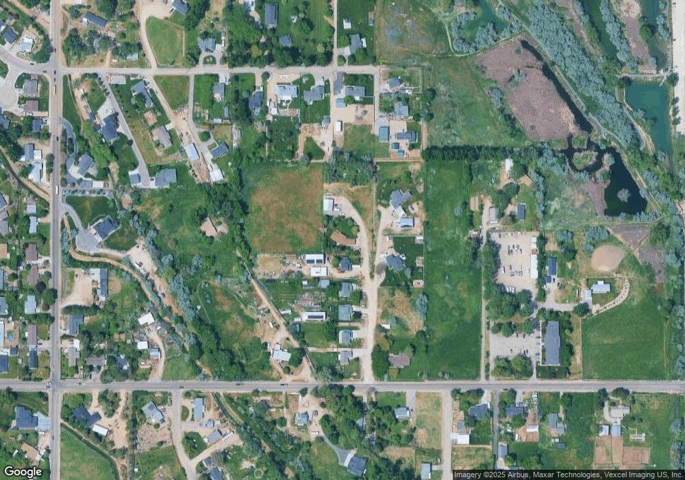
Map
Nearby Homes
- 1088 E Rose Island St
- 424 Lindenwood Dr
- 973 E Yaquina Bay Dr
- 3620 E Sunrise Rim Ct
- 980 E Yaquina Bay Dr
- 12596 S Lenora Place
- 12529 S Lenora Place
- 4155 E Eagle Ridge Dr
- 280 E Sunrise Rim Rd
- 3865 S Windy Ridge Dr
- 526 Lost Basin Ct
- 230 E Alexis Loop
- 510 Stony Meadow Dr
- 4834 S Fern St
- 1705 Ruth Ln
- 513 Ruth Ln
- TBD Sunrise Ave
- TBD W Galloper St Unit Timberline Lot 12 Bl
- 1199 W Ultar Dr
- 2123 E Harbour Grove Dr
- 1118 E Locust Ln
- 1116 E Locust Ln
- 1122 E Locust Ln
- 1122 E Locust Ln
- 1114 E Locust Ln
- 1112 E Locust Ln
- 1112 E Locust Ln
- 1050 Meadowbrook Ln
- 1110 E Locust Ln
- 1012 E Locust Ln
- 1220 E Locust Ln
- 1124 E Locust Ln
- 1024 E Locust Ln
- 1058 Meadowbrook Ln
- 1107 Meadowbrook Ln
- 1025 Meadowbrook Ln
- 919 Meadowbrook Ln
- 1013 Meadowbrook Ln
- 1003 Meadowbrook Ln
- 1066 Meadowbrook Ln
Your Personal Tour Guide
Ask me questions while you tour the home.