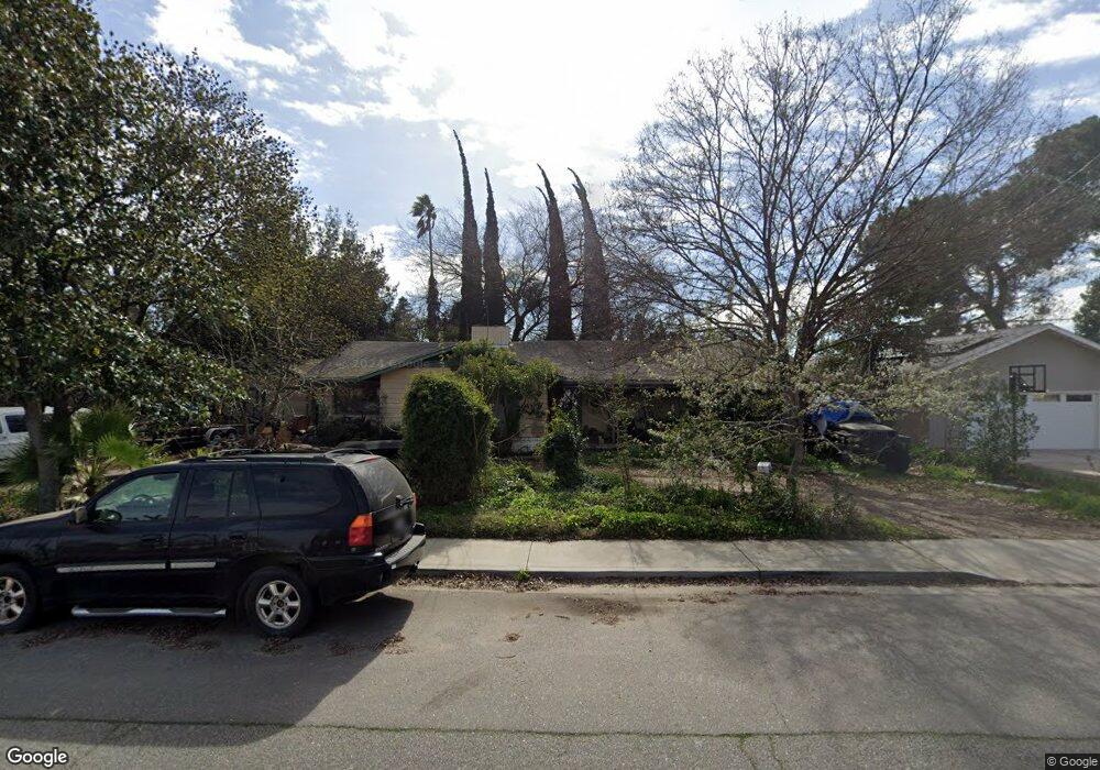
1120 E Minnesota Ave Turlock, CA 95382
Estimated Value: $538,000 - $633,000
3
Beds
2
Baths
2,259
Sq Ft
$262/Sq Ft
Est. Value
About This Home
This home is located at 1120 E Minnesota Ave, Turlock, CA 95382 and is currently estimated at $591,804, approximately $261 per square foot. 1120 E Minnesota Ave is a home located in Stanislaus County with nearby schools including Dennis G. Earl Elementary School, Marvin A. Dutcher Middle School, and Turlock Junior High School.
Ownership History
Date
Name
Owned For
Owner Type
Purchase Details
Closed on
Apr 25, 2000
Sold by
Myers Jeffrey and Myers Sonja
Bought by
Johns Reginald J and Johns Carol
Current Estimated Value
Home Financials for this Owner
Home Financials are based on the most recent Mortgage that was taken out on this home.
Original Mortgage
$124,800
Outstanding Balance
$44,966
Interest Rate
8.95%
Estimated Equity
$546,838
Purchase Details
Closed on
Sep 11, 1998
Sold by
Rogers Robert and Rogers Helen
Bought by
Myers Jeffrey and Myers Sonja
Create a Home Valuation Report for This Property
The Home Valuation Report is an in-depth analysis detailing your home's value as well as a comparison with similar homes in the area
Purchase History
| Date | Buyer | Sale Price | Title Company |
|---|---|---|---|
| Johns Reginald J | $156,000 | Fidelity National Title Co | |
| Myers Jeffrey | -- | -- |
Source: Public Records
Mortgage History
| Date | Status | Borrower | Loan Amount |
|---|---|---|---|
| Open | Johns Reginald J | $124,800 | |
| Closed | Johns Reginald J | $31,200 |
Source: Public Records
Tax History
| Year | Tax Paid | Tax Assessment Tax Assessment Total Assessment is a certain percentage of the fair market value that is determined by local assessors to be the total taxable value of land and additions on the property. | Land | Improvement |
|---|---|---|---|---|
| 2025 | $2,499 | $239,745 | $53,781 | $185,964 |
| 2024 | $2,451 | $235,045 | $52,727 | $182,318 |
| 2023 | $2,445 | $230,438 | $51,694 | $178,744 |
| 2022 | $2,413 | $225,921 | $50,681 | $175,240 |
| 2021 | $2,376 | $221,492 | $49,688 | $171,804 |
| 2020 | $2,359 | $219,222 | $49,179 | $170,043 |
| 2019 | $2,318 | $214,924 | $48,215 | $166,709 |
| 2018 | $2,314 | $210,711 | $47,270 | $163,441 |
| 2017 | $2,259 | $206,581 | $46,344 | $160,237 |
| 2016 | $2,108 | $202,532 | $45,436 | $157,096 |
| 2015 | $2,089 | $199,491 | $44,754 | $154,737 |
| 2014 | $2,067 | $195,584 | $43,878 | $151,706 |
Source: Public Records
Map
Nearby Homes
- 680 Sherri Way
- 2293 E Tuolumne Rd
- 0 Hogin Rd Unit MC25187945
- 0 Hogin Rd Unit 225067168
- 2485 Tigers Dr
- 1740 Colorado Ave
- 3140 Kellogg Ave
- 1820 N Berkeley Ave
- 2063 Justice Ct
- 3221 Amethyst Way
- 1460 E Hawkeye Ave
- 345 Riviera Way
- 125 Hedstrom Rd
- 3491 Santos Ct
- 1701 Sylvia Ct
- 2200 E Tuolumne Rd
- 1730 Sylvia Ct
- 3703 Brookstone Dr
- 785 Fullerton Dr
- 215 E Hawkeye Ave
- 1100 E Minnesota Ave
- 2545 Colorado Ave
- 1111 E Minnesota Ave
- 1040 E Minnesota Ave
- 1101 E Minnesota Ave
- 2601 Colorado Ave
- 2521 Colorado Ave
- 1041 E Minnesota Ave
- 2611 Colorado Ave
- 1031 E Minnesota Ave
- 1010 E Minnesota Ave
- 2530 Colorado Ave
- 2491 Colorado Ave
- 2520 Colorado Ave
- 2600 Colorado Ave
- 1011 E Minnesota Ave
- 2540 Colorado Ave
- 2500 Colorado Ave
- 2610 Colorado Ave
- 2641 Colorado Ave
Your Personal Tour Guide
Ask me questions while you tour the home.