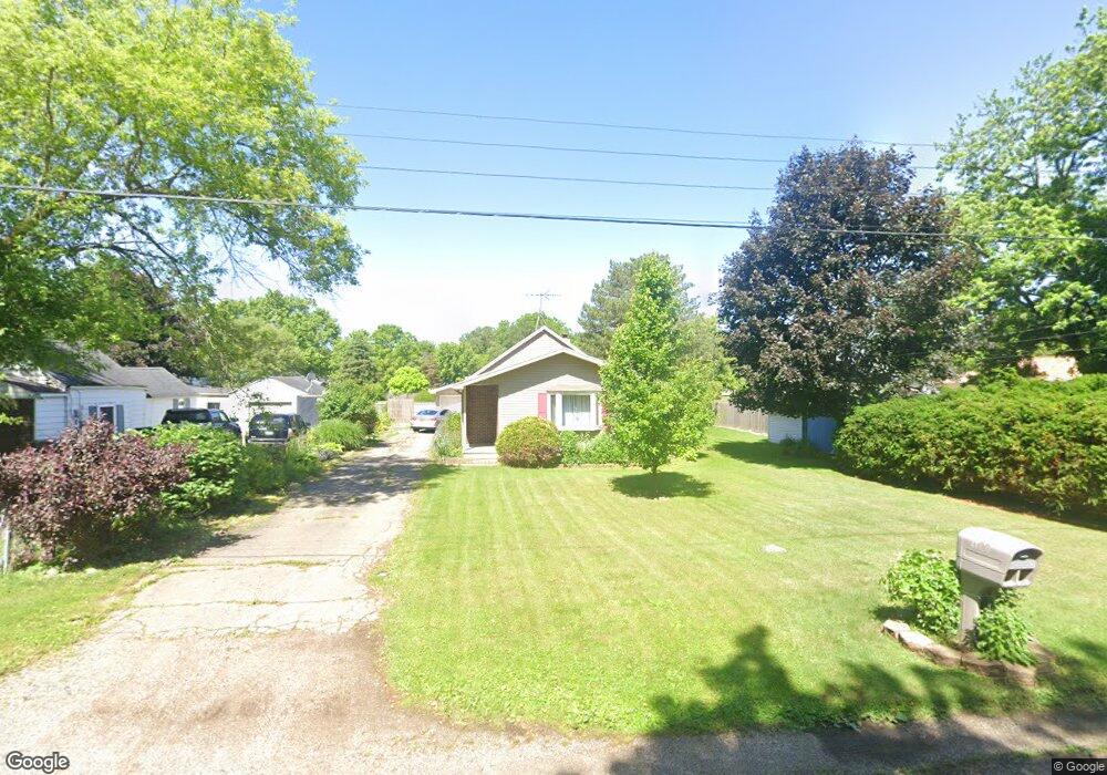
1120 George St Owosso, MI 48867
Estimated Value: $124,881 - $137,000
2
Beds
1
Bath
880
Sq Ft
$147/Sq Ft
Est. Value
About This Home
This home is located at 1120 George St, Owosso, MI 48867 and is currently estimated at $129,720, approximately $147 per square foot. 1120 George St is a home located in Shiawassee County with nearby schools including Owosso High School, Salem Lutheran School, and St. Paul School.
Ownership History
Date
Name
Owned For
Owner Type
Purchase Details
Closed on
Oct 20, 2011
Sold by
Grey Sandra L
Bought by
Godes Pauline A
Current Estimated Value
Home Financials for this Owner
Home Financials are based on the most recent Mortgage that was taken out on this home.
Original Mortgage
$45,918
Outstanding Balance
$31,303
Interest Rate
4.09%
Mortgage Type
Purchase Money Mortgage
Estimated Equity
$98,417
Create a Home Valuation Report for This Property
The Home Valuation Report is an in-depth analysis detailing your home's value as well as a comparison with similar homes in the area
Home Values in the Area
Average Home Value in this Area
Purchase History
| Date | Buyer | Sale Price | Title Company |
|---|---|---|---|
| Godes Pauline A | $45,000 | -- |
Source: Public Records
Mortgage History
| Date | Status | Borrower | Loan Amount |
|---|---|---|---|
| Open | Godes Pauline A | $45,918 |
Source: Public Records
Tax History Compared to Growth
Tax History
| Year | Tax Paid | Tax Assessment Tax Assessment Total Assessment is a certain percentage of the fair market value that is determined by local assessors to be the total taxable value of land and additions on the property. | Land | Improvement |
|---|---|---|---|---|
| 2025 | $1,253 | $48,100 | $0 | $0 |
| 2024 | $1,253 | $44,300 | $0 | $0 |
| 2023 | $788 | $39,800 | $0 | $0 |
| 2022 | $1,212 | $35,700 | $0 | $0 |
| 2021 | $1,150 | $33,000 | $0 | $0 |
| 2020 | $1,186 | $31,000 | $0 | $0 |
| 2019 | $1,171 | $25,500 | $0 | $0 |
| 2018 | -- | $25,000 | $0 | $0 |
| 2017 | -- | $24,400 | $0 | $0 |
| 2016 | -- | $24,400 | $0 | $0 |
| 2015 | -- | $24,200 | $0 | $0 |
| 2014 | -- | $23,900 | $0 | $0 |
Source: Public Records
Map
Nearby Homes
- 1318 W Stewart St
- V/L W South St
- 1610 W South St
- 1510 S Chipman St
- Vacant Ash St
- 818 S Lyon St
- 982 S Chestnut St
- 810 Grace St
- 1046 S Pearce St
- 1300 S Pearce St
- 802 W Stewart St
- 1434 S Pearce St
- 821 Fletcher St
- 607 S Cedar St
- 411 Robbins St
- 606 Ryan St
- 1150 S Shiawassee St
- 1627 Michigan 52
- N Chestnut Street N Chestnut St
- 209 W Stewart St
- 1407 Frederick St
- 1403 Frederick St
- 1128 George St
- 1415 Frederick St
- 1129 George St
- 1119 George St
- 1323 Frederick St
- 1323 Frederick St
- 1417 Frederick St
- 1416 Freeman St
- 1319 Frederick St
- 1410 Frederick St
- 1200 George St
- 1200 George St
- 1315 Frederick St
- 930 George St
- 1106 Nelson St
- 1409 Freeman St
- 1304 Freeman St
- 1414 Frederick St