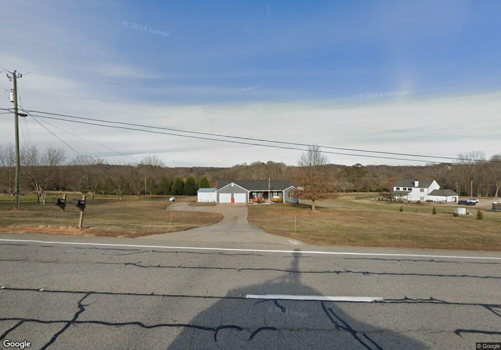
1120 Highway 53 Hoschton, GA 30548
Estimated Value: $467,000 - $678,000
--
Bed
2
Baths
2,026
Sq Ft
$277/Sq Ft
Est. Value
About This Home
This home is located at 1120 Highway 53, Hoschton, GA 30548 and is currently estimated at $561,111, approximately $276 per square foot. 1120 Highway 53 is a home located in Jackson County with nearby schools including West Jackson Elementary School, West Jackson Middle School, and Jackson County High School.
Ownership History
Date
Name
Owned For
Owner Type
Purchase Details
Closed on
Oct 14, 2016
Sold by
Kay Deanna
Bought by
Hall Donald Ray and Hall Deanna Kay
Current Estimated Value
Purchase Details
Closed on
Jun 11, 1996
Bought by
Tarrant James O
Create a Home Valuation Report for This Property
The Home Valuation Report is an in-depth analysis detailing your home's value as well as a comparison with similar homes in the area
Home Values in the Area
Average Home Value in this Area
Purchase History
| Date | Buyer | Sale Price | Title Company |
|---|---|---|---|
| Hall Donald Ray | $240,000 | -- | |
| Tarrant James O | $16,000 | -- |
Source: Public Records
Tax History Compared to Growth
Tax History
| Year | Tax Paid | Tax Assessment Tax Assessment Total Assessment is a certain percentage of the fair market value that is determined by local assessors to be the total taxable value of land and additions on the property. | Land | Improvement |
|---|---|---|---|---|
| 2024 | $5,524 | $204,920 | $59,160 | $145,760 |
| 2023 | $5,524 | $146,560 | $59,160 | $87,400 |
| 2022 | $2,735 | $89,080 | $20,120 | $68,960 |
| 2021 | $2,753 | $89,080 | $20,120 | $68,960 |
| 2020 | $2,559 | $76,000 | $20,120 | $55,880 |
| 2019 | $2,595 | $76,000 | $20,120 | $55,880 |
| 2018 | $2,749 | $79,440 | $20,120 | $59,320 |
| 2017 | $2,562 | $73,471 | $15,096 | $58,375 |
| 2016 | $2,509 | $73,471 | $15,096 | $58,375 |
| 2015 | $2,520 | $73,471 | $15,096 | $58,375 |
| 2014 | $2,099 | $62,752 | $15,096 | $47,656 |
| 2013 | -- | $62,752 | $15,096 | $47,656 |
Source: Public Records
Map
Nearby Homes
- 96 Indian Creek Way
- 74 Indian Creek Way
- 153 Cherokee Trail
- 241 Bill Watkins Rd
- 96 Ryans Way
- 404 Shasta Ct
- Evergreen Plan at Tribute
- Glen Plan at Tribute
- Crofton Plan at Tribute
- Redland Plan at Tribute
- Holly Plan at Tribute
- Ivey Plan at Tribute
- 45 Thedford Dr
- The Langford Plan at Allen Manor
- The Harrington Plan at Allen Manor
- The James Plan at Allen Manor
- The Crawford Plan at Allen Manor
- The Caldwell Plan at Allen Manor
- The McGinnis Plan at Allen Manor
- 59 Thedford Dr
- 91 Bill Watkins Rd Unit Lot 2
- 1208 Highway 53
- 153 Bill Watkins Rd
- 83 Bill Watkins Rd
- 86 Bill Watkins Rd
- 0 Bill Watkins Rd Unit 8343908
- 0 Bill Watkins Rd Unit 7304063
- 0 Bill Watkins Rd Unit 31 7481492
- 0 Bill Watkins Rd
- 0 Bill Watkins Rd Unit 8624794
- 0 Bill Watkins Rd Unit 8990989
- 0 Bill Watkins Rd Unit 8963289
- 0 Bill Watkins Rd Unit 8886420
- 0 Bill Watkins Rd Unit 7137418
- 0 Bill Watkins Rd Unit 7450364
- 0 Bill Watkins Rd Unit 7481279
- 0 Bill Watkins Rd Unit 8179505
- 0 Bill Watkins Rd Unit 8385678
- 0 Bill Watkins Rd Unit 8464640
- 0 Bill Watkins Rd Unit 6587757