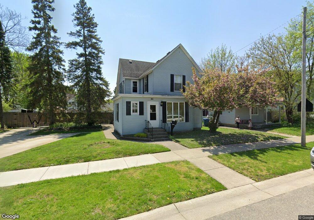
1120 Hudson St SW Wyoming, MI 49509
Urbandale NeighborhoodEstimated Value: $226,000 - $290,226
4
Beds
3
Baths
1,754
Sq Ft
$149/Sq Ft
Est. Value
About This Home
This home is located at 1120 Hudson St SW, Wyoming, MI 49509 and is currently estimated at $261,057, approximately $148 per square foot. 1120 Hudson St SW is a home located in Kent County with nearby schools including Godfrey Elementary School, Lee Middle & High School, and Potters House School.
Ownership History
Date
Name
Owned For
Owner Type
Purchase Details
Closed on
Jul 9, 2024
Sold by
Wilder Vince
Bought by
Wilder Vincent R and Wilder Vince
Current Estimated Value
Purchase Details
Closed on
Mar 21, 2002
Sold by
Wilder Karie L
Bought by
Wilder Vince
Home Financials for this Owner
Home Financials are based on the most recent Mortgage that was taken out on this home.
Original Mortgage
$66,000
Interest Rate
7.05%
Mortgage Type
Purchase Money Mortgage
Create a Home Valuation Report for This Property
The Home Valuation Report is an in-depth analysis detailing your home's value as well as a comparison with similar homes in the area
Home Values in the Area
Average Home Value in this Area
Purchase History
| Date | Buyer | Sale Price | Title Company |
|---|---|---|---|
| Wilder Vincent R | -- | None Listed On Document | |
| Wilder Vince | -- | -- |
Source: Public Records
Mortgage History
| Date | Status | Borrower | Loan Amount |
|---|---|---|---|
| Previous Owner | Wilder Vince | $66,000 |
Source: Public Records
Tax History Compared to Growth
Tax History
| Year | Tax Paid | Tax Assessment Tax Assessment Total Assessment is a certain percentage of the fair market value that is determined by local assessors to be the total taxable value of land and additions on the property. | Land | Improvement |
|---|---|---|---|---|
| 2025 | $2,227 | $133,700 | $0 | $0 |
| 2024 | $2,227 | $124,000 | $0 | $0 |
| 2023 | $2,136 | $118,500 | $0 | $0 |
| 2022 | $2,103 | $104,600 | $0 | $0 |
| 2021 | $2,059 | $94,600 | $0 | $0 |
| 2020 | $1,847 | $82,800 | $0 | $0 |
| 2019 | $1,948 | $71,500 | $0 | $0 |
| 2018 | $1,872 | $60,400 | $0 | $0 |
| 2017 | $1,827 | $49,100 | $0 | $0 |
| 2016 | $1,771 | $46,000 | $0 | $0 |
| 2015 | $1,751 | $46,000 | $0 | $0 |
| 2013 | -- | $35,400 | $0 | $0 |
Source: Public Records
Map
Nearby Homes
- 1955 Hendricks Ave SW
- 2101 Godfrey Ave SW
- 2117 Denwood Ave SW
- 2107 Huizen Ave SW
- 922 Burton St SW
- 1917 Osmer Ave SW
- 1946 Martindale Ave SW
- 1715 Godfrey Ave SW
- 1736 Wendler Ave SW
- 2050 Arnold Ave SW
- 886 Belfield St SW Unit 7
- 1112 Albers St SW
- 2151 Banner Dr SW Unit F
- 2140 Banner Dr SW
- 1850 Federal Ave SW
- 2185 Clyde Park Ave SW
- 1750 Berkley Ave SW
- 1945 Delwood Ave SW
- 1739 Berkley Ave SW
- 1829 Delwood Ave SW
- 1124 Hudson St SW
- 1110 Hudson St SW
- 1941 Godfrey Ave SW
- 1132 Hudson St SW
- 1954 Kamp Ave SW
- 1945 Godfrey Ave SW
- 1937 Godfrey Ave SW
- 1951 Kamp Ave SW
- 1925 Godfrey Ave SW
- 1136 Hudson St SW
- 1958 Kamp Ave SW
- 1955 Godfrey Ave SW
- 1119 Hudson St SW
- 1955 Kamp Ave SW
- 1121 Hudson St SW
- 1121 Hudson St SW Unit A
- 1921 Godfrey Ave SW
- 1140 Hudson St SW
- 1962 Kamp Ave SW
- 1959 Kamp Ave SW