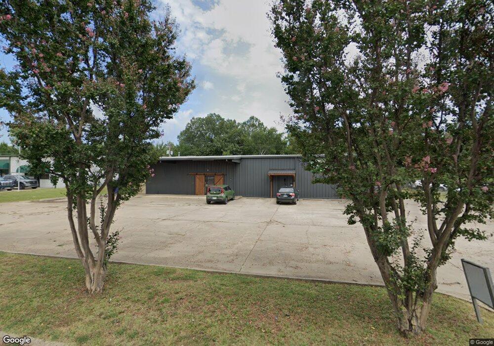
1120 Jims Ln Conway, AR 72032
East Conway NeighborhoodEstimated Value: $350,702
--
Bed
--
Bath
6,300
Sq Ft
$56/Sq Ft
Est. Value
About This Home
This home is located at 1120 Jims Ln, Conway, AR 72032 and is currently estimated at $350,702, approximately $55 per square foot. 1120 Jims Ln is a home located in Faulkner County with nearby schools including Theodore Jones Elementary School, Conway Junior High School, and Conway High School.
Ownership History
Date
Name
Owned For
Owner Type
Purchase Details
Closed on
Apr 25, 2022
Sold by
Guinn Larry S and Guinn Larry F
Bought by
Melvins Painting Llc
Current Estimated Value
Home Financials for this Owner
Home Financials are based on the most recent Mortgage that was taken out on this home.
Original Mortgage
$255,000
Outstanding Balance
$82,132
Interest Rate
4.16%
Mortgage Type
New Conventional
Estimated Equity
$268,570
Purchase Details
Closed on
Mar 23, 2009
Bought by
To Pamela Clayton and Calvin Gu
Create a Home Valuation Report for This Property
The Home Valuation Report is an in-depth analysis detailing your home's value as well as a comparison with similar homes in the area
Home Values in the Area
Average Home Value in this Area
Purchase History
| Date | Buyer | Sale Price | Title Company |
|---|---|---|---|
| Melvins Painting Llc | $300,000 | Waco Title | |
| To Pamela Clayton | -- | -- |
Source: Public Records
Mortgage History
| Date | Status | Borrower | Loan Amount |
|---|---|---|---|
| Open | Melvins Painting Llc | $255,000 |
Source: Public Records
Tax History Compared to Growth
Tax History
| Year | Tax Paid | Tax Assessment Tax Assessment Total Assessment is a certain percentage of the fair market value that is determined by local assessors to be the total taxable value of land and additions on the property. | Land | Improvement |
|---|---|---|---|---|
| 2025 | $3,800 | $75,100 | $21,100 | $54,000 |
| 2024 | $3,800 | $75,100 | $21,100 | $54,000 |
| 2023 | $3,544 | $70,040 | $19,860 | $50,180 |
| 2022 | $3,544 | $70,040 | $19,860 | $50,180 |
| 2021 | $3,544 | $70,040 | $19,860 | $50,180 |
| 2020 | $3,660 | $72,330 | $19,860 | $52,470 |
| 2019 | $3,660 | $72,330 | $19,860 | $52,470 |
| 2018 | $3,660 | $72,330 | $19,860 | $52,470 |
| 2017 | $3,660 | $72,330 | $19,860 | $52,470 |
| 2016 | $3,660 | $72,330 | $19,860 | $52,470 |
| 2015 | $3,452 | $68,230 | $14,900 | $53,330 |
| 2014 | $3,452 | $68,230 | $14,900 | $53,330 |
Source: Public Records
Map
Nearby Homes
- 2485 E Oak St
- 1605 Duke St
- 2510 E Oak St
- 2515 E Oak St
- 00 Museum Rd
- 60 Sandpiper Ct
- 00 Victory Ln
- 440 Bernard Dr
- 1810 Angeline Dr
- 2.2 Acres Amity Rd
- 1365 Woodside Dr
- 1012 Woodside Dr
- 00 Fourth Ave
- 00 Caskay Dr
- 8 Bridgestone Dr
- 575 5th Ave
- 1220 Bulldog Dr
- 2020 Mary Alice Dr
- 1550 Gold Falls
- 0 Blake Ln
- 1105 Jims Ln
- 1085 Jims Ln
- 26A Don's Ln
- 1130 Pat's Ln
- 1290 Jims Ln
- 1155 Pat's Ln
- 1155 Pats Ln
- 0 Pats Ln Unit 15030066
- 100 Brookside Dr Unit 127
- 100 Brookside Dr Unit 134
- 100 Brookside Dr Unit 128
- 100 Brookside Dr Unit 125
- 100 Brookside Dr Unit 111
- 100 Brookside Dr Unit 98
- 100 Brookside Dr Unit 107
- 100 Brookside Dr Unit 106
- 100 Brookside Dr Unit 132
- 100 Brookside Dr Unit 119
- 100 Brookside Dr Unit 113
- 100 Brookside Dr Unit 129