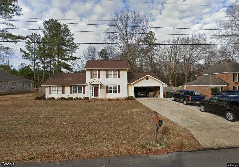
1120 Lasone Dr Scottsboro, AL 35768
Estimated Value: $279,000 - $385,000
--
Bed
--
Bath
1,363
Sq Ft
$249/Sq Ft
Est. Value
About This Home
This home is located at 1120 Lasone Dr, Scottsboro, AL 35768 and is currently estimated at $339,719, approximately $249 per square foot. 1120 Lasone Dr is a home located in Jackson County with nearby schools including Scottsboro High School and Scottsboro Christian Academy.
Ownership History
Date
Name
Owned For
Owner Type
Purchase Details
Closed on
Aug 31, 2007
Sold by
Martin Keith W and Martin Patricia D
Bought by
Alonzo Lisa A
Current Estimated Value
Home Financials for this Owner
Home Financials are based on the most recent Mortgage that was taken out on this home.
Original Mortgage
$188,900
Outstanding Balance
$119,905
Interest Rate
6.62%
Mortgage Type
Purchase Money Mortgage
Estimated Equity
$219,814
Purchase Details
Closed on
Jul 13, 2006
Sold by
Hawkins Bobby J and Hawkins Bridget M
Bought by
Martin Keith W and Martin Patricia D
Home Financials for this Owner
Home Financials are based on the most recent Mortgage that was taken out on this home.
Original Mortgage
$85,500
Interest Rate
6.6%
Mortgage Type
VA
Create a Home Valuation Report for This Property
The Home Valuation Report is an in-depth analysis detailing your home's value as well as a comparison with similar homes in the area
Home Values in the Area
Average Home Value in this Area
Purchase History
| Date | Buyer | Sale Price | Title Company |
|---|---|---|---|
| Alonzo Lisa A | $188,900 | -- | |
| Martin Keith W | -- | -- |
Source: Public Records
Mortgage History
| Date | Status | Borrower | Loan Amount |
|---|---|---|---|
| Open | Alonzo Lisa A | $188,900 | |
| Previous Owner | Martin Keith W | $85,500 |
Source: Public Records
Tax History Compared to Growth
Tax History
| Year | Tax Paid | Tax Assessment Tax Assessment Total Assessment is a certain percentage of the fair market value that is determined by local assessors to be the total taxable value of land and additions on the property. | Land | Improvement |
|---|---|---|---|---|
| 2024 | $1,064 | $21,440 | $0 | $0 |
| 2023 | $991 | $21,280 | $0 | $0 |
| 2022 | $983 | $21,280 | $0 | $0 |
| 2021 | $983 | $21,280 | $0 | $0 |
| 2020 | $784 | $17,180 | $0 | $0 |
| 2019 | $776 | $17,020 | $0 | $0 |
| 2018 | $776 | $17,020 | $0 | $0 |
| 2017 | $776 | $170,200 | $0 | $0 |
| 2016 | $719 | $158,300 | $0 | $0 |
| 2015 | $719 | $158,300 | $0 | $0 |
| 2014 | $719 | $158,300 | $0 | $0 |
| 2013 | -- | $158,300 | $0 | $0 |
Source: Public Records
Map
Nearby Homes
- 1119 Lasone Dr
- 100 Stewart Rd
- 0 John T Reid Pkwy
- 0 Stewart Rd Unit 21360749
- 0 Wisteria Way Unit 7233402
- 0 Wisteria Way Unit 10396630
- 0 S Broad St Unit 16484396
- 2904 S Broad St
- 2918 Hillcrest Dr
- 4280 Woods Cove Rd
- 4140 S Broad St
- 105 Chasewood Cove
- 3 Acres S Broad St
- 279 Winn Rd
- 163 Paradise Place
- Lot 22 Paradise Place
- 1399 Woods Cove Rd
- lot 20 Wisteria Way
- 104 Wimberly Dr
- 4 acres Bob Jones Rd