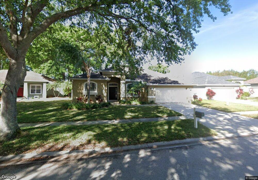
1120 Lumsden Trace Cir Valrico, FL 33594
Estimated Value: $416,323 - $499,000
4
Beds
2
Baths
2,052
Sq Ft
$226/Sq Ft
Est. Value
About This Home
This home is located at 1120 Lumsden Trace Cir, Valrico, FL 33594 and is currently estimated at $463,581, approximately $225 per square foot. 1120 Lumsden Trace Cir is a home located in Hillsborough County with nearby schools including Buckhorn Elementary School, Mulrennan Middle School, and Durant High School.
Ownership History
Date
Name
Owned For
Owner Type
Purchase Details
Closed on
Dec 6, 1999
Sold by
Paragon Homes Corporation
Bought by
Kindred Folayan E and Kindred Acquelyn L
Current Estimated Value
Home Financials for this Owner
Home Financials are based on the most recent Mortgage that was taken out on this home.
Original Mortgage
$137,750
Interest Rate
7.94%
Mortgage Type
New Conventional
Create a Home Valuation Report for This Property
The Home Valuation Report is an in-depth analysis detailing your home's value as well as a comparison with similar homes in the area
Home Values in the Area
Average Home Value in this Area
Purchase History
| Date | Buyer | Sale Price | Title Company |
|---|---|---|---|
| Kindred Folayan E | $145,100 | -- |
Source: Public Records
Mortgage History
| Date | Status | Borrower | Loan Amount |
|---|---|---|---|
| Open | Kindred Folayan E | $137,700 | |
| Closed | Kindred Folayan E | $26,820 | |
| Closed | Kindred Folayan E | $137,750 |
Source: Public Records
Tax History Compared to Growth
Tax History
| Year | Tax Paid | Tax Assessment Tax Assessment Total Assessment is a certain percentage of the fair market value that is determined by local assessors to be the total taxable value of land and additions on the property. | Land | Improvement |
|---|---|---|---|---|
| 2024 | $6,726 | $372,579 | $118,335 | $254,244 |
| 2023 | $6,101 | $325,783 | $102,900 | $222,883 |
| 2022 | $5,689 | $318,284 | $102,900 | $215,384 |
| 2021 | $5,064 | $240,584 | $72,030 | $168,554 |
| 2020 | $4,788 | $226,940 | $69,458 | $157,482 |
| 2019 | $4,932 | $224,834 | $72,030 | $152,804 |
| 2018 | $4,547 | $197,432 | $0 | $0 |
| 2017 | $4,358 | $185,386 | $0 | $0 |
| 2016 | $4,257 | $176,142 | $0 | $0 |
| 2015 | $4,057 | $160,129 | $0 | $0 |
| 2014 | $3,709 | $145,572 | $0 | $0 |
| 2013 | -- | $132,338 | $0 | $0 |
Source: Public Records
Map
Nearby Homes
- 4022 Valrico Grove Dr
- 3911 Smoke Rise Ct
- 4207 E Lumsden Rd
- 4106 Jade Ln
- 4001 Highgate Dr
- 1710 Tallowtree Cir
- 3950 Appletree Dr
- 2803 Bent Leaf Dr
- 4233 Amber Ridge Ln
- 2863 Duncan Tree Cir
- 934 Grand Canyon Dr
- 2710 Bent Leaf Dr
- 2864 Duncan Tree Cir
- 3919 Appletree Dr
- 4139 Yellowwood Dr
- 2715 Mock Orange Ct
- 4436 Horseshoe Pick Ln
- 4514 Highfalls Dr
- 4107 Robin Way
- 1807 Parkwood Dr
- 1118 Lumsden Trace Cir
- 1122 Lumsden Trace Cir
- 1116 Lumsden Trace Cir
- 4008 Valrico Grove Dr
- 4006 Valrico Grove Dr
- 1124 Lumsden Trace Cir
- 1121 Lumsden Trace Cir
- 1119 Lumsden Trace Cir
- 1114 Lumsden Trace Cir
- 1126 Lumsden Trace Cir
- 1117 Lumsden Trace Cir
- 4004 Valrico Grove Dr
- 1115 Lumsden Trace Cir
- 1128 Lumsden Trace Cir
- 1112 Lumsden Trace Cir
- 4002 Valrico Grove Dr
- 4012 Valrico Grove Dr
- 1113 Lumsden Trace Cir
- 4010 Valrico Grove Dr
- 4013 Valrico Grove Dr