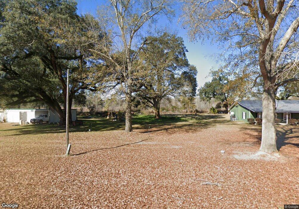
1120 Mizpah Rd Whigham, GA 39897
Estimated Value: $295,000 - $434,472
3
Beds
2
Baths
1,516
Sq Ft
$253/Sq Ft
Est. Value
About This Home
This home is located at 1120 Mizpah Rd, Whigham, GA 39897 and is currently estimated at $383,157, approximately $252 per square foot. 1120 Mizpah Rd is a home located in Grady County.
Ownership History
Date
Name
Owned For
Owner Type
Purchase Details
Closed on
Apr 24, 2008
Sold by
Gandy Sarah Jan Godwin
Bought by
Gandy William Stanley and Gandy Sarah Jan
Current Estimated Value
Purchase Details
Closed on
Dec 28, 2006
Sold by
Gandy Sara Jan
Bought by
Gandy William S and Gandy Sarah Jan Godwin
Purchase Details
Closed on
Mar 18, 1984
Bought by
Gandy Jan G
Create a Home Valuation Report for This Property
The Home Valuation Report is an in-depth analysis detailing your home's value as well as a comparison with similar homes in the area
Home Values in the Area
Average Home Value in this Area
Purchase History
| Date | Buyer | Sale Price | Title Company |
|---|---|---|---|
| Gandy William Stanley | -- | -- | |
| Gandy William S | -- | -- | |
| Gandy Jan G | -- | -- |
Source: Public Records
Tax History Compared to Growth
Tax History
| Year | Tax Paid | Tax Assessment Tax Assessment Total Assessment is a certain percentage of the fair market value that is determined by local assessors to be the total taxable value of land and additions on the property. | Land | Improvement |
|---|---|---|---|---|
| 2024 | $1,098 | $177,532 | $48,140 | $129,392 |
| 2023 | $107 | $100,896 | $27,608 | $73,288 |
| 2022 | $107 | $100,896 | $27,608 | $73,288 |
| 2021 | $2,770 | $100,896 | $27,608 | $73,288 |
| 2020 | $2,770 | $100,896 | $27,608 | $73,288 |
| 2019 | $26 | $100,896 | $27,608 | $73,288 |
| 2018 | $150 | $100,896 | $27,608 | $73,288 |
| 2017 | $241 | $105,792 | $32,504 | $73,288 |
| 2016 | -- | $95,767 | $34,069 | $61,698 |
| 2015 | -- | $95,767 | $34,069 | $61,698 |
| 2014 | $50 | $95,767 | $34,069 | $61,698 |
| 2013 | -- | $91,959 | $35,071 | $56,887 |
Source: Public Records
Map
Nearby Homes
- 0 Harrell Rd
- 7268 Lodgetown Rd
- TBD3 Cumbie Rd
- TBD2 Cumbie Rd
- TBD4 Cumbie Rd
- Tbd Cumbie Rd
- 0 Cumbie Rd
- 0 Wade Rd
- 8468 Branchville Rd
- 1067 Wade Rd
- 6203 Mount Olive Rd
- 0 Cal Thomas Rd
- 53 +/- A Bond Rd
- 189 Sabino Dr
- 1741 Georgia 112
- 0 Pelham Rd Unit 23706472
- 835 Mill Pond Rd
- 2033 Old 179 N
- 000 Noles Rd
- 4761 Georgia 65