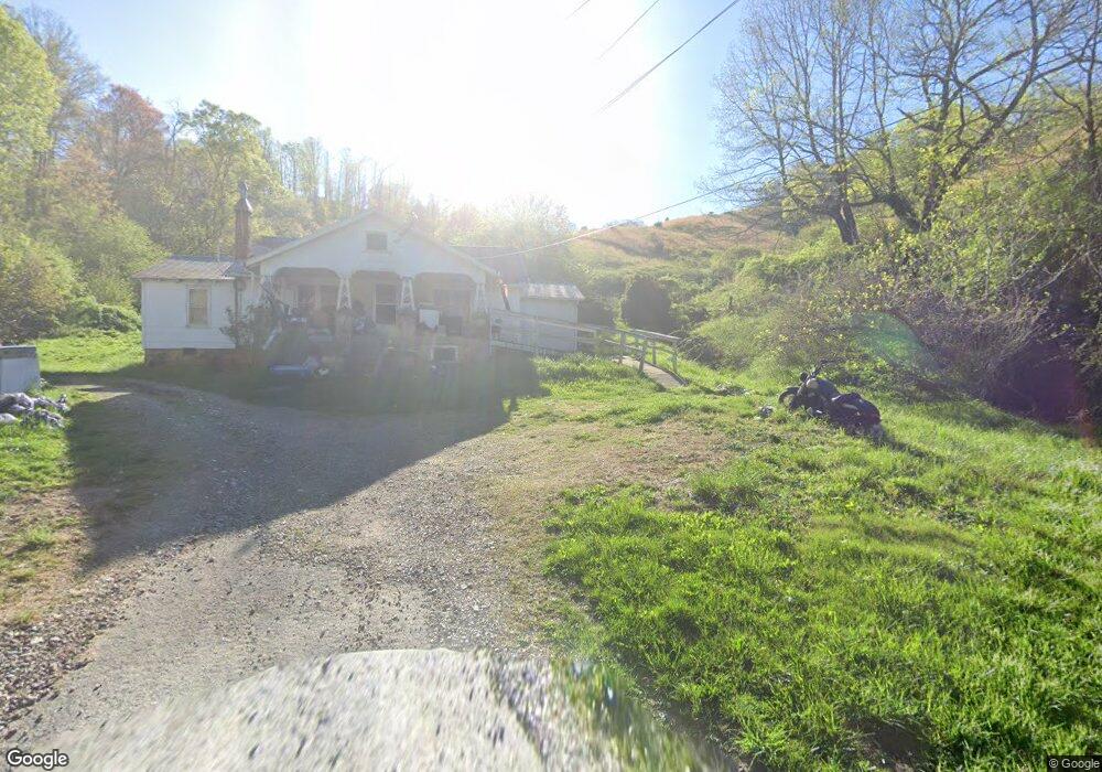
1120 Moses Branch Rd Burnsville, NC 28714
Estimated Value: $288,000 - $381,626
2
Beds
1
Bath
1,060
Sq Ft
$312/Sq Ft
Est. Value
About This Home
This home is located at 1120 Moses Branch Rd, Burnsville, NC 28714 and is currently estimated at $330,657, approximately $311 per square foot. 1120 Moses Branch Rd is a home with nearby schools including Mountain Heritage High School.
Ownership History
Date
Name
Owned For
Owner Type
Purchase Details
Closed on
Oct 5, 2021
Sold by
Mcintosh Charles and Hensley Glenda Mcintosh
Bought by
Woodby Silas Lloyd and Woodby Sapphire Eve
Current Estimated Value
Purchase Details
Closed on
May 4, 2004
Bought by
Woodby Jim L and Woodby Gladys L
Create a Home Valuation Report for This Property
The Home Valuation Report is an in-depth analysis detailing your home's value as well as a comparison with similar homes in the area
Home Values in the Area
Average Home Value in this Area
Purchase History
| Date | Buyer | Sale Price | Title Company |
|---|---|---|---|
| Woodby Silas Lloyd | -- | None Available | |
| Hensley Glenda Mcintosh | -- | None Available | |
| Hensley Glenda Mcintosh | -- | None Listed On Document | |
| Woodby Jim L | -- | -- |
Source: Public Records
Tax History Compared to Growth
Tax History
| Year | Tax Paid | Tax Assessment Tax Assessment Total Assessment is a certain percentage of the fair market value that is determined by local assessors to be the total taxable value of land and additions on the property. | Land | Improvement |
|---|---|---|---|---|
| 2025 | $1,728 | $303,200 | $275,800 | $27,400 |
| 2024 | $1,728 | $303,200 | $275,800 | $27,400 |
| 2023 | $978 | $150,400 | $139,700 | $10,700 |
| 2022 | $1,114 | $174,940 | $139,700 | $35,240 |
| 2021 | $494 | $284,340 | $249,100 | $35,240 |
| 2020 | $494 | $284,340 | $249,100 | $35,240 |
| 2019 | $298 | $284,340 | $249,100 | $35,240 |
| 2018 | $298 | $284,340 | $249,100 | $35,240 |
| 2017 | $298 | $284,340 | $249,100 | $35,240 |
| 2016 | $298 | $284,340 | $249,100 | $35,240 |
| 2015 | $236 | $545,820 | $528,200 | $17,620 |
| 2014 | $236 | $545,820 | $528,200 | $17,620 |
Source: Public Records
Map
Nearby Homes
- TBD Jacks Creek Rd
- 41 Hawks Ridge Estates
- 1377 Langford Branch Rd
- 98 Cardinal Crest Dr
- 0 Cane Mountain Ln Unit 9967935
- 0 Cane Mountain Ln Unit CAR4287202
- 0 Cane Mountain Ln Unit 250665
- 1595 Coxes Creek Rd
- 00 Coxes Creek Rd
- 619 Leisure Ln
- 57 Stillwater Springs Rd
- 208 Stillwater Springs Rd
- 9999 River Edge Dr Unit 2
- 95 Friendship Rd
- 409 Hamlet Dr
- TBD Mountain View Rd
- Lot 3 Mountain View Rd
- 187 Rusty Sweet Dr
- 318 Sandy Way
- 170 Styles Rd
- 742 Evans Rd
- 1001 Moses Branch Rd
- 849 Moses Branch Rd
- 210 Wild Horse Hideout Dr
- 000 Evans Rd
- 730 Moses Branch Rd
- 735 Moses Branch Rd
- 761 English Branch Rd
- 630 Moses Branch Rd
- 49 Apricot Ln
- 455 Moses Branch Rd
- 455 Moses Branch Rd Unit C, D, E
- 455 Moses Branch Rd Unit B
- 1121 English Branch Rd
- 288 Silvers Hill Rd
- 1365 Byrd Branch Rd
- 222 Evans Rd
- 1191 Byrd Branch Rd
- 00 Crosswind Dr
- 657 English Branch Rd