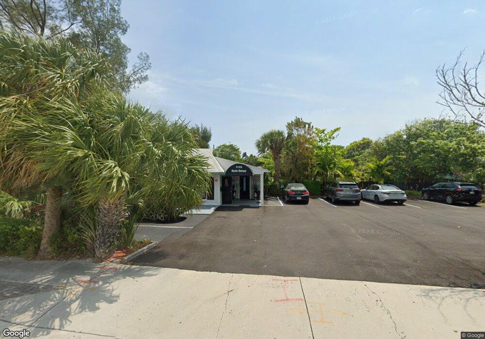
1120 N Federal Hwy Boynton Beach, FL 33435
Downtown Boynton NeighborhoodEstimated Value: $1,216,000
2
Beds
2
Baths
1,299
Sq Ft
$936/Sq Ft
Est. Value
About This Home
This home is located at 1120 N Federal Hwy, Boynton Beach, FL 33435 and is currently priced at $1,216,000, approximately $936 per square foot. 1120 N Federal Hwy is a home located in Palm Beach County with nearby schools including Rolling Green Elementary School, Boynton Beach Community High School, and Calf Pen Meadow Elementary School.
Ownership History
Date
Name
Owned For
Owner Type
Purchase Details
Closed on
Apr 25, 2000
Sold by
Biesendorfer Donald E and Biesendorfer Sue
Bought by
Jft Of The Palm Beaches Inc
Current Estimated Value
Home Financials for this Owner
Home Financials are based on the most recent Mortgage that was taken out on this home.
Original Mortgage
$675,000
Outstanding Balance
$235,376
Interest Rate
8.27%
Mortgage Type
New Conventional
Create a Home Valuation Report for This Property
The Home Valuation Report is an in-depth analysis detailing your home's value as well as a comparison with similar homes in the area
Home Values in the Area
Average Home Value in this Area
Purchase History
| Date | Buyer | Sale Price | Title Company |
|---|---|---|---|
| Jft Of The Palm Beaches Inc | $900,000 | -- |
Source: Public Records
Mortgage History
| Date | Status | Borrower | Loan Amount |
|---|---|---|---|
| Open | Jft Of The Palm Beaches Inc | $675,000 |
Source: Public Records
Tax History Compared to Growth
Tax History
| Year | Tax Paid | Tax Assessment Tax Assessment Total Assessment is a certain percentage of the fair market value that is determined by local assessors to be the total taxable value of land and additions on the property. | Land | Improvement |
|---|---|---|---|---|
| 2024 | $22,160 | $943,260 | -- | -- |
| 2023 | $21,447 | $896,161 | -- | -- |
| 2022 | $20,190 | $814,692 | -- | -- |
| 2021 | $18,474 | $740,629 | $491,853 | $248,776 |
| 2020 | $19,091 | $764,664 | $491,853 | $272,811 |
| 2019 | $19,144 | $757,423 | $468,300 | $289,123 |
| 2018 | $18,065 | $726,172 | $454,561 | $271,611 |
| 2017 | $17,693 | $697,415 | $432,972 | $264,443 |
| 2016 | $16,760 | $653,200 | $0 | $0 |
| 2015 | $16,614 | $628,440 | $0 | $0 |
| 2014 | $16,182 | $599,709 | $0 | $0 |
Source: Public Records
Map
Nearby Homes
- 626 Mariners Way
- 617 NE 8th Ave
- 732 Rider Rd
- 662 Mariners Way
- 401 NE 12th Ave
- 718 NE 12th Terrace Unit 4
- 711 NE 8th Ave
- 638 NE 8th Ave
- 720 Mariners Way
- 728 NE 9th Ave
- 2040 Murano Bay Dr
- 3010 Murano Bay Dr
- 320 NE 13th Ave
- 718 Shore Dr
- 815 South Rd
- 640 NE 6th Ct Unit 70
- 634 Ocean Inlet Dr
- 658 NE 6th Ct Unit 120
- 718 Ocean Inlet Dr
- 633/641 NE 6th Ave
- 1114 N Federal Hwy
- 654 Manor Dr
- 652 Manor Dr
- 620 NE 12th Ave
- 653 Manor Dr
- 617 Martin Luther King jr Blvd
- 611 NE 10th Ave
- 611 NE 10th Ave Unit 1
- 617 NE 10th Ave
- 732 NE 12th Ave Unit 1
- 624 NE 12th Ave
- 627 Martin Luther King jr Blvd
- 656 Manor Dr
- 657 Manor Dr
- 655 Manor Dr
- 655 Manor Dr Unit 1
- 633 Martin Luther King jr Blvd
- 658 Manor Dr
- 1105 N Federal Hwy
- 1103 N Federal Hwy