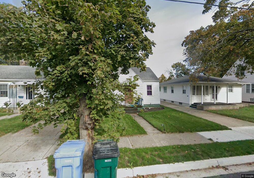
1120 Poxson Ave Lansing, MI 48910
Colonial Village NeighborhoodEstimated Value: $122,526 - $147,000
Studio
--
Bath
764
Sq Ft
$175/Sq Ft
Est. Value
About This Home
This home is located at 1120 Poxson Ave, Lansing, MI 48910 and is currently estimated at $133,882, approximately $175 per square foot. 1120 Poxson Ave is a home located in Ingham County with nearby schools including Averill Elementary School, Attwood School, and J.W. Sexton High School.
Ownership History
Date
Name
Owned For
Owner Type
Purchase Details
Closed on
Sep 11, 2025
Sold by
St Cyr Lydia
Bought by
Alfaro Lydia and Alfaro Alex
Current Estimated Value
Purchase Details
Closed on
Aug 4, 2025
Sold by
Leah Ording Revocable Trust and Ording David M
Bought by
St Cyr Lydia
Purchase Details
Closed on
Jan 24, 2000
Sold by
Ording Leah I and Ording David F
Bought by
Ording Leah and Leah Ording Revocable Trust
Purchase Details
Closed on
Mar 1, 1994
Create a Home Valuation Report for This Property
The Home Valuation Report is an in-depth analysis detailing your home's value as well as a comparison with similar homes in the area
Home Values in the Area
Average Home Value in this Area
Purchase History
We collect this data history from publicly available records. To have your information removed, we recommend requesting removal directly through your county’s website.
| Date | Buyer | Sale Price | Title Company |
|---|---|---|---|
| Alfaro Lydia | -- | None Listed On Document | |
| St Cyr Lydia | -- | None Listed On Document | |
| Ording Leah | -- | First American Title Ins Co | |
| -- | $49,000 | -- |
Source: Public Records
Tax History
| Year | Tax Paid | Tax Assessment Tax Assessment Total Assessment is a certain percentage of the fair market value that is determined by local assessors to be the total taxable value of land and additions on the property. | Land | Improvement |
|---|---|---|---|---|
| 2025 | $3,972 | $55,500 | $7,000 | $48,500 |
| 2024 | $34 | $52,600 | $7,000 | $45,600 |
| 2023 | $3,177 | $48,000 | $7,000 | $41,000 |
| 2022 | $2,900 | $43,100 | $7,000 | $36,100 |
| 2021 | $2,833 | $40,700 | $7,100 | $33,600 |
| 2020 | $2,813 | $38,200 | $7,100 | $31,100 |
| 2019 | $4,924 | $35,900 | $7,100 | $28,800 |
| 2018 | $2,577 | $34,400 | $7,100 | $27,300 |
| 2017 | $2,481 | $34,400 | $7,100 | $27,300 |
| 2016 | $2,382 | $33,800 | $7,100 | $26,700 |
| 2015 | $2,382 | $32,900 | $14,210 | $18,690 |
| 2014 | $2,382 | $31,800 | $15,811 | $15,989 |
Source: Public Records
Map
Nearby Homes
- 1208 Gordon Ave
- 1209 W Mount Hope Ave
- 1312 W Mount Hope Ave
- 1033 Kelsey Ave
- 1830 Fletcher St
- 1116 George St
- 2421 S Rundle Ave
- 1823 Delevan Ave
- 712 Lenore Ave
- 1824 S Rundle Ave
- 917 W Barnes Ave
- 1633 Park Ave
- 612 W Mount Hope Ave
- 1810 Cooper Ave
- 1309 Hammond St
- 1817 Gordon Ave
- 1740 Wellington Rd Unit 207
- 1740 Wellington Rd Unit 103
- 1915 Cooper Ave
- 1910 Gordon Ave
- 1116 Poxson Ave
- 1112 Poxson Ave
- 1128 Poxson Ave
- 1121 Cooper Ave
- 1117 Cooper Ave
- 1200 Poxson Ave
- 1125 Cooper Ave
- 1113 Cooper Ave
- 1127 Cooper Ave
- 1204 Poxson Ave
- 1201 Cooper Ave
- 1121 Poxson Ave
- 1113 Poxson Ave
- 1129 Poxson Ave
- 1208 Poxson Ave
- 1201 Poxson Ave
- 1205 Cooper Ave
- 1205 Cooper Ave
- 1205 Poxson Ave
- 1212 Poxson Ave
Your Personal Tour Guide
Ask me questions while you tour the home.