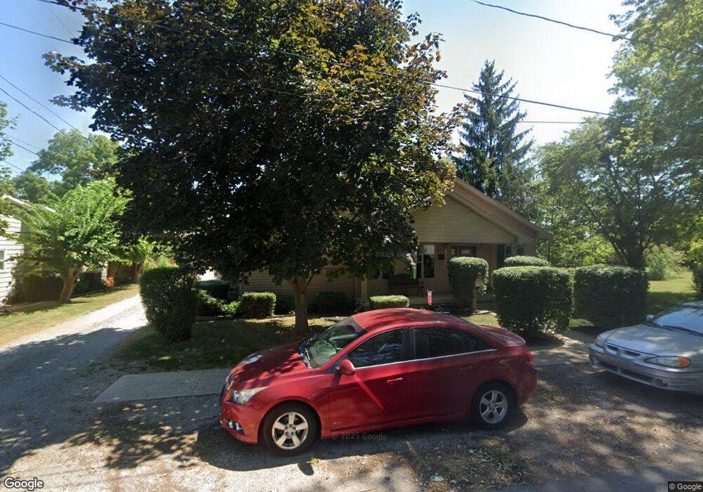
1120 Pratt St van Wert, OH 45891
Estimated Value: $197,326 - $230,000
3
Beds
2
Baths
2,244
Sq Ft
$95/Sq Ft
Est. Value
About This Home
This home is located at 1120 Pratt St, van Wert, OH 45891 and is currently estimated at $212,082, approximately $94 per square foot. 1120 Pratt St is a home located in Van Wert County with nearby schools including Van Wert Early Childhood Center, Van Wert High School, and Lifelinks Community School.
Ownership History
Date
Name
Owned For
Owner Type
Purchase Details
Closed on
Dec 19, 2016
Sold by
Amelia Salinas
Bought by
Carter Anthony and Carter Rita
Current Estimated Value
Home Financials for this Owner
Home Financials are based on the most recent Mortgage that was taken out on this home.
Original Mortgage
$41,000
Outstanding Balance
$33,579
Interest Rate
4.16%
Estimated Equity
$178,503
Purchase Details
Closed on
Oct 4, 1999
Bought by
Carter Anthony J
Create a Home Valuation Report for This Property
The Home Valuation Report is an in-depth analysis detailing your home's value as well as a comparison with similar homes in the area
Home Values in the Area
Average Home Value in this Area
Purchase History
| Date | Buyer | Sale Price | Title Company |
|---|---|---|---|
| Carter Anthony | -- | -- | |
| Carter Anthony J | $16,000 | -- | |
| Carter Anthony J | $16,000 | -- |
Source: Public Records
Mortgage History
| Date | Status | Borrower | Loan Amount |
|---|---|---|---|
| Open | Carter Anthony | $41,000 | |
| Closed | Carter Anthony | -- |
Source: Public Records
Tax History Compared to Growth
Tax History
| Year | Tax Paid | Tax Assessment Tax Assessment Total Assessment is a certain percentage of the fair market value that is determined by local assessors to be the total taxable value of land and additions on the property. | Land | Improvement |
|---|---|---|---|---|
| 2024 | $1,744 | $51,200 | $5,560 | $45,640 |
| 2023 | $1,715 | $51,200 | $5,560 | $45,640 |
| 2022 | $1,432 | $37,180 | $4,240 | $32,940 |
| 2021 | $1,395 | $37,180 | $4,240 | $32,940 |
| 2020 | $1,387 | $37,180 | $4,240 | $32,940 |
| 2019 | $1,285 | $33,790 | $4,240 | $29,550 |
| 2018 | $1,264 | $33,790 | $4,240 | $29,550 |
| 2017 | $1,232 | $33,790 | $4,240 | $29,550 |
| 2016 | $1,194 | $33,300 | $4,240 | $29,060 |
| 2015 | $1,145 | $31,970 | $4,240 | $27,730 |
| 2014 | $1,054 | $29,870 | $4,240 | $25,630 |
| 2013 | $1,001 | $26,360 | $4,240 | $22,120 |
Source: Public Records
Map
Nearby Homes
- 1120 Park St
- 1060 1056 S Washington St
- 326 Gordon Ave
- 323 Gordon Ave
- 624 S Shannon St
- 522 South Ave
- 631 S Washington St
- 931 Kiger St
- 949 Southway St
- 509 Leeson Ave
- 142 E Raymond St
- 529 S Tyler St
- 114 S Wall St
- 1312 Rye Dr
- 1440 Moby Ct
- 000 Lincoln Hwy
- 14934 Lincoln Hwy
- 00 Lincoln Hwy
- 129 S Lynn St
- 1391 Rye Dr