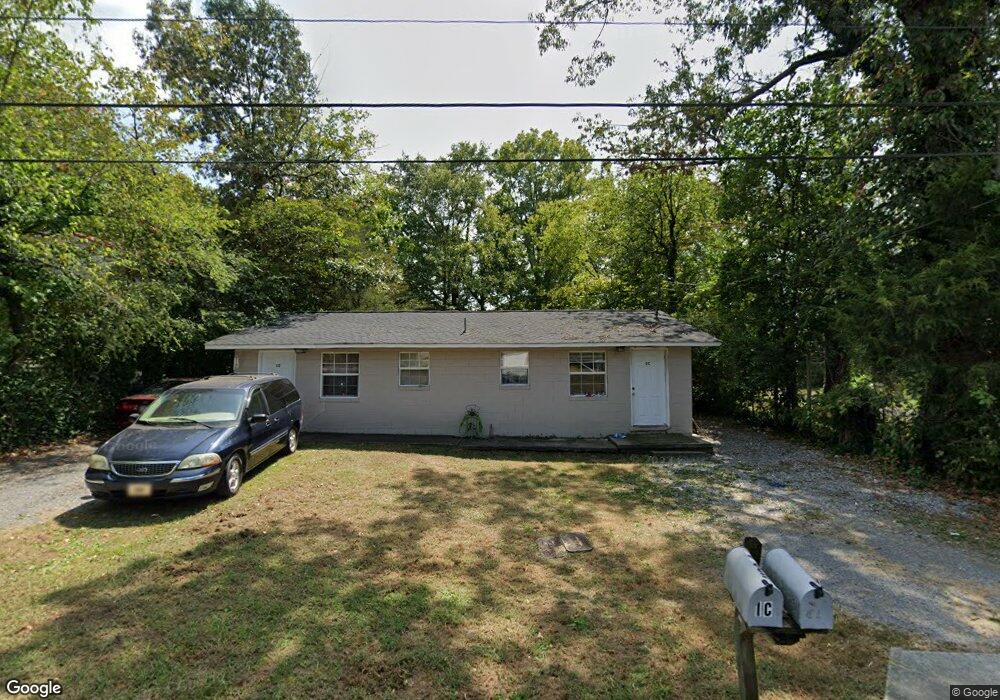
1120 Riverbend Dr Unit 1 Dalton, GA 30721
Estimated Value: $153,000 - $226,000
--
Bed
--
Bath
1,053
Sq Ft
$172/Sq Ft
Est. Value
About This Home
This home is located at 1120 Riverbend Dr Unit 1, Dalton, GA 30721 and is currently estimated at $181,547, approximately $172 per square foot. 1120 Riverbend Dr Unit 1 is a home located in Whitfield County with nearby schools including City Park Elementary School, Dalton Middle School, and Dalton High School.
Ownership History
Date
Name
Owned For
Owner Type
Purchase Details
Closed on
Nov 22, 2023
Sold by
Perry Stephanie Brooke
Bought by
Whaley Finn
Current Estimated Value
Purchase Details
Closed on
Sep 24, 2020
Sold by
Dunn Kimberly Lankford
Bought by
Perry Stephanie Brooke
Purchase Details
Closed on
Oct 18, 2019
Sold by
Dunn Kimberly Lankford
Bought by
Benitez Walter Isidro
Purchase Details
Closed on
Nov 9, 2018
Sold by
Lankford Cameron Smith
Bought by
Dunn Kimberly Lankford
Create a Home Valuation Report for This Property
The Home Valuation Report is an in-depth analysis detailing your home's value as well as a comparison with similar homes in the area
Home Values in the Area
Average Home Value in this Area
Purchase History
| Date | Buyer | Sale Price | Title Company |
|---|---|---|---|
| Whaley Finn | $175,000 | None Listed On Document | |
| Perry Stephanie Brooke | -- | -- | |
| Benitez Walter Isidro | $52,000 | -- | |
| Dunn Kimberly Lankford | -- | -- |
Source: Public Records
Tax History Compared to Growth
Tax History
| Year | Tax Paid | Tax Assessment Tax Assessment Total Assessment is a certain percentage of the fair market value that is determined by local assessors to be the total taxable value of land and additions on the property. | Land | Improvement |
|---|---|---|---|---|
| 2024 | $1,338 | $56,329 | $8,400 | $47,929 |
| 2023 | $1,338 | $36,153 | $4,000 | $32,153 |
| 2022 | $585 | $16,989 | $3,360 | $13,629 |
| 2021 | $586 | $16,989 | $3,360 | $13,629 |
| 2020 | $609 | $16,989 | $3,360 | $13,629 |
| 2019 | $628 | $16,989 | $3,360 | $13,629 |
| 2018 | $637 | $16,989 | $3,360 | $13,629 |
| 2017 | $613 | $16,989 | $3,360 | $13,629 |
| 2016 | $572 | $15,756 | $3,360 | $12,396 |
| 2014 | $520 | $15,756 | $3,360 | $12,396 |
| 2013 | -- | $15,756 | $3,360 | $12,396 |
Source: Public Records
Map
Nearby Homes
- Lot 5 River Bend Rd
- Lot 4 Riverbend Rd
- Lot 7 Riverbend Rd
- 1007 Locke Dr
- 1302 Jackson Rd
- 514 Sheridan Ave
- 902 Mattie Dr
- trac 2 Roosevelt Dr
- trac 3 Roosevelt Dr
- 1412 Stevenson Dr
- 1320 Coker Dr
- 430 Lester Ave
- 1629 Roosevelt Dr
- 0 Robinwood Dr
- Lot 4 Liberty Dr
- Lot 10 Liberty Dr
- Lot 9 Liberty Dr
- 1902 Bartenfield Dr
- 432 4th Ave
- 1118 Dozier St
- 1120 Riverbend Dr
- 1122 Riverbend Dr
- 1118 Riverbend Dr
- 1124 Riverbend Dr
- 1123 Riverbend Dr
- 1116 Riverbend Dr
- 1126 Riverbend Rd
- 1121 Riverbend Dr
- 1125 Riverbend Dr
- 1128 Riverbend Rd
- 1127 Riverbend Dr
- 1127 Riverbend Dr
- 1112 Riverbend Dr
- 1110 Riverbend Dr
- 1214 New Doris St
- 1108 Riverbend Dr
- 1215 New Doris St
- 1210 New Doris St
- 1009 Cargal Dr
- 1207 New Doris St