Estimated Value: $197,191 - $234,000
2
Beds
1
Bath
1,178
Sq Ft
$190/Sq Ft
Est. Value
About This Home
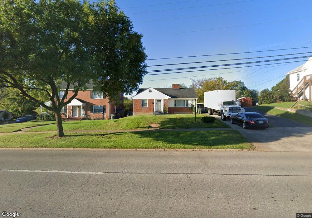
This home is located at 1120 Roanoke Blvd, Salem, VA 24153 and is currently estimated at $223,298, approximately $189 per square foot. 1120 Roanoke Blvd is a home located in Salem City with nearby schools including East Salem Elementary School, Andrew Lewis Middle School, and Salem High School.
Ownership History
Date
Name
Owned For
Owner Type
Purchase Details
Closed on
Jan 18, 2011
Sold by
Mcghee Blount Helen and Mcghee Billie Freeman
Bought by
Dubois Winston J and Dubois Margaret M
Current Estimated Value
Home Financials for this Owner
Home Financials are based on the most recent Mortgage that was taken out on this home.
Original Mortgage
$85,650
Outstanding Balance
$58,644
Interest Rate
4.87%
Mortgage Type
New Conventional
Estimated Equity
$164,654
Purchase Details
Closed on
Mar 8, 2006
Sold by
Dame Kathleen K and Denton Jacquelyn Dame
Bought by
Dame Benjamin Bluckley and Dame Ii James Knox
Create a Home Valuation Report for This Property
The Home Valuation Report is an in-depth analysis detailing your home's value as well as a comparison with similar homes in the area
Home Values in the Area
Average Home Value in this Area
Purchase History
| Date | Buyer | Sale Price | Title Company |
|---|---|---|---|
| Dubois Winston J | $114,200 | Fidelity National Title Insu | |
| Dame Benjamin Bluckley | -- | None Available |
Source: Public Records
Mortgage History
| Date | Status | Borrower | Loan Amount |
|---|---|---|---|
| Open | Dubois Winston J | $85,650 |
Source: Public Records
Tax History Compared to Growth
Tax History
| Year | Tax Paid | Tax Assessment Tax Assessment Total Assessment is a certain percentage of the fair market value that is determined by local assessors to be the total taxable value of land and additions on the property. | Land | Improvement |
|---|---|---|---|---|
| 2025 | $988 | $167,500 | $41,500 | $126,000 |
| 2024 | $857 | $142,800 | $40,000 | $102,800 |
| 2023 | $1,531 | $127,600 | $37,500 | $90,100 |
| 2022 | $1,402 | $116,800 | $32,500 | $84,300 |
| 2021 | $1,342 | $111,800 | $31,000 | $80,800 |
| 2020 | $1,309 | $109,100 | $30,500 | $78,600 |
| 2019 | $1,274 | $106,200 | $30,500 | $75,700 |
| 2018 | $1,243 | $105,300 | $30,500 | $74,800 |
| 2017 | $1,231 | $104,300 | $30,500 | $73,800 |
| 2016 | $1,230 | $104,200 | $30,500 | $73,700 |
| 2015 | $1,238 | $104,900 | $30,500 | $74,400 |
| 2014 | $1,238 | $104,900 | $30,500 | $74,400 |
Source: Public Records
Map
Nearby Homes
- 1002 Roanoke Blvd
- 938 Roanoke Blvd
- 637 Catawba Dr
- 402 E 7th St
- 1410 Orchard Dr
- 522 Pennsylvania Ave
- 303 Riverland Dr
- 1647 Margaret Ln
- 473 Hemlock Rd
- 0 Thompson Memorial Dr Unit 921003
- 0 Thompson Memorial Dr Unit 919368
- 0 Thompson Memorial Dr Unit 884331
- 23 Upland Dr
- 0 Hemlock Rd NW
- 609 Front Ave
- 1504 Eddy Ave
- 115 Craig Ave
- 1117 Conifer Ln
- 407 Kimball Ave
- 409 Kimball Ave
- 1124 Roanoke Blvd Unit 1126
- 1015 Pearl St
- 1112 Roanoke Blvd Unit AB
- 1019 Pearl St
- 1202 Roanoke Blvd
- 1106 Roanoke Blvd
- 1014 Fisher Ave
- 1203 Missouri Ave
- 1023 Pearl St
- 1206 Roanoke Blvd
- 1020 Fisher Ave
- 1002 Fisher Ave
- 1207 Missouri Ave
- 1000 Fisher Ave
- 1210 Roanoke Blvd
- 1101 Pearl St
- 1201 Roanoke Blvd
- 1211 Missouri Ave
- 1200 Roanoke Blvd
- 1100 Fisher Ave