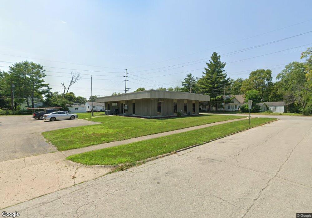
1120 S Jasper St Decatur, IL 62521
Saint Mary's NeighborhoodEstimated Value: $235,638
--
Bed
--
Bath
--
Sq Ft
0.55
Acres
About This Home
This home is located at 1120 S Jasper St, Decatur, IL 62521 and is currently estimated at $235,638. 1120 S Jasper St is a home located in Macon County with nearby schools including Muffley Elementary School, Stephen Decatur Middle School, and St. Patrick School.
Ownership History
Date
Name
Owned For
Owner Type
Purchase Details
Closed on
Feb 24, 2004
Sold by
Bourne Merle L
Bought by
Daitos Enterprises Llc
Current Estimated Value
Home Financials for this Owner
Home Financials are based on the most recent Mortgage that was taken out on this home.
Original Mortgage
$150,000
Interest Rate
5.8%
Mortgage Type
Future Advance Clause Open End Mortgage
Create a Home Valuation Report for This Property
The Home Valuation Report is an in-depth analysis detailing your home's value as well as a comparison with similar homes in the area
Home Values in the Area
Average Home Value in this Area
Purchase History
| Date | Buyer | Sale Price | Title Company |
|---|---|---|---|
| Daitos Enterprises Llc | $175,000 | None Available |
Source: Public Records
Mortgage History
| Date | Status | Borrower | Loan Amount |
|---|---|---|---|
| Previous Owner | Daitos Enterprises Llc | $150,000 |
Source: Public Records
Tax History Compared to Growth
Tax History
| Year | Tax Paid | Tax Assessment Tax Assessment Total Assessment is a certain percentage of the fair market value that is determined by local assessors to be the total taxable value of land and additions on the property. | Land | Improvement |
|---|---|---|---|---|
| 2024 | $5,512 | $56,938 | $9,189 | $47,749 |
| 2023 | $5,466 | $54,923 | $8,864 | $46,059 |
| 2022 | $5,264 | $51,472 | $8,202 | $43,270 |
| 2021 | $4,946 | $48,070 | $7,660 | $40,410 |
| 2020 | $4,874 | $45,838 | $7,304 | $38,534 |
| 2019 | $4,874 | $45,838 | $7,304 | $38,534 |
| 2018 | $4,832 | $45,990 | $7,328 | $38,662 |
| 2017 | $4,946 | $47,218 | $7,524 | $39,694 |
| 2016 | $5,040 | $47,700 | $7,601 | $40,099 |
| 2015 | $4,789 | $46,857 | $7,467 | $39,390 |
| 2014 | $4,447 | $46,393 | $7,393 | $39,000 |
| 2013 | $4,595 | $48,136 | $7,671 | $40,465 |
Source: Public Records
Map
Nearby Homes
- 1283 S Illinois St
- 1232 S Silas St
- 1263 E Dickinson Ave
- 1408 E Buena Vista Ave
- 1347 S Maffit St
- 409 Southmoreland Place
- 1104 E Moore St
- 22 Eastmoreland Ln
- 1952 Florida Ct
- 1155 S 20th St
- 632 S 17th St
- 1127 S 21st St
- 1136 S 21st St
- 1232 E Johns Ave
- 2039 E Whitmer St
- 1605 E Clay St
- 1764 E Johns Ave
- 318 S Martin Luther King Junior Dr
- 1753 E Clay St
- 2104 E Whitmer St
- 1184 E Henderson Ave
- 1134 S Jasper St
- 1237 E Vanderhoof St
- 1214 E Vanderhoof St
- 1220 E Vanderhoof St
- 1240 E Vanderhoof St
- 1245 E Vanderhoof St
- 1125 S Jasper St
- 1218 E Willard Ave
- 1160 E Henderson Ave
- 1086 S Jasper St
- 1253 E Vanderhoof St
- 1234 E Willard Ave
- 1115 S Jasper St
- 1204 E Willard Ave
- 1242 E Willard Ave
- 1261 E Vanderhoof St
- 1148 E Henderson Ave
- 1169 E Henderson Ave
- 1161 E Rogers Ave