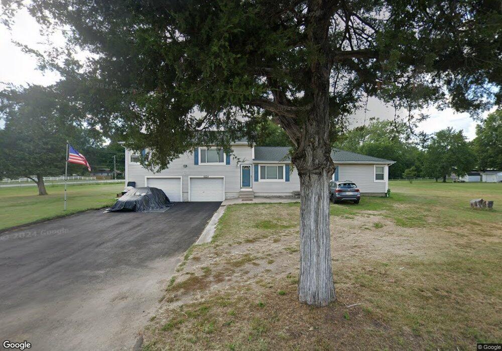
1120 S Main Rd Independence, MO 64056
Spring Branch NeighborhoodEstimated Value: $280,114 - $325,000
3
Beds
3
Baths
1,976
Sq Ft
$156/Sq Ft
Est. Value
About This Home
This home is located at 1120 S Main Rd, Independence, MO 64056 and is currently estimated at $309,029, approximately $156 per square foot. 1120 S Main Rd is a home located in Jackson County with nearby schools including Spring Branch Elementary School, Bridger Middle School, and Bingham Middle School.
Ownership History
Date
Name
Owned For
Owner Type
Purchase Details
Closed on
Aug 4, 2000
Sold by
Hydorn Kelly A Bailey and Hydorn Ted P
Bought by
Faiva Vaifoa and Faiva Janalynn P
Current Estimated Value
Home Financials for this Owner
Home Financials are based on the most recent Mortgage that was taken out on this home.
Original Mortgage
$101,600
Outstanding Balance
$42,688
Interest Rate
10.5%
Mortgage Type
Purchase Money Mortgage
Estimated Equity
$266,341
Purchase Details
Closed on
Apr 30, 1997
Sold by
Bessmer Henry C and Bessmer Juanita E
Bought by
Bailey Kelly A
Create a Home Valuation Report for This Property
The Home Valuation Report is an in-depth analysis detailing your home's value as well as a comparison with similar homes in the area
Home Values in the Area
Average Home Value in this Area
Purchase History
| Date | Buyer | Sale Price | Title Company |
|---|---|---|---|
| Faiva Vaifoa | -- | Realty Title Company | |
| Bailey Kelly A | -- | -- |
Source: Public Records
Mortgage History
| Date | Status | Borrower | Loan Amount |
|---|---|---|---|
| Open | Faiva Vaifoa | $101,600 |
Source: Public Records
Tax History Compared to Growth
Tax History
| Year | Tax Paid | Tax Assessment Tax Assessment Total Assessment is a certain percentage of the fair market value that is determined by local assessors to be the total taxable value of land and additions on the property. | Land | Improvement |
|---|---|---|---|---|
| 2025 | $2,619 | $36,936 | $9,584 | $27,352 |
| 2024 | $2,619 | $37,802 | $7,307 | $30,495 |
| 2023 | $2,559 | $37,802 | $3,906 | $33,896 |
| 2022 | $2,063 | $27,930 | $5,119 | $22,811 |
| 2021 | $2,062 | $27,930 | $5,119 | $22,811 |
| 2020 | $1,900 | $25,002 | $5,119 | $19,883 |
| 2019 | $1,869 | $25,002 | $5,119 | $19,883 |
| 2018 | $1,704 | $21,760 | $4,455 | $17,305 |
| 2017 | $1,704 | $21,760 | $4,455 | $17,305 |
| 2016 | $1,678 | $21,215 | $5,480 | $15,735 |
| 2014 | $1,594 | $20,596 | $5,320 | $15,276 |
Source: Public Records
Map
Nearby Homes
- 1013 S Main Rd
- 913 S Main Rd
- 18710 E Truman Rd
- 19600 E 9th St S
- 649 S Kisner Dr
- 641 S Kisner Dr
- 614 S Kisner Dr
- 1820 S Aztec Ave
- 1808 S Sioux Ct
- 1626 S Whitney Dr
- 19105 E 19th Terrace Ct S
- 20100 Missouri 78
- 1912 S Viking Ct
- 1313 Clark Ave
- 17904 E Whitney Rd S
- 701 S Jones Rd
- 1910 S Jackson Dr
- 20100 E 78 Hwy
- 801 S Butler Ln
- 19303 Holke Rd
- 1100 S Main Rd
- 1113 S Main Rd
- 18812 E 12th Street Ct S
- 1012 S Main Rd
- 18804 E 12th Street Ct S
- 1011 S Main Rd
- 18808 E 12th Street Ct S
- 18904 E 12th St S
- 18900 E 12th St S
- 18800 E 12th Street Ct S
- 18908 E 12th St S
- 1010 S Main Rd
- 1009 S Main Rd
- 18711 E Truman Rd
- 18809 E 12th Street Ct S
- 18912 E 12th St S
- 18901 E 12th St S
- 18801 E 12th Street Ct S
- 1115 S Elizabeth St
- 18707 E Truman Rd