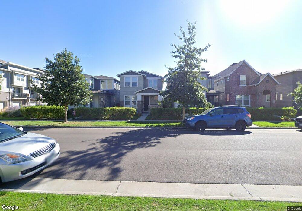
1120 S Sherman St Denver, CO 80210
Platt Park NeighborhoodEstimated Value: $1,088,000 - $1,452,000
3
Beds
4
Baths
3,102
Sq Ft
$431/Sq Ft
Est. Value
About This Home
This home is located at 1120 S Sherman St, Denver, CO 80210 and is currently estimated at $1,336,607, approximately $430 per square foot. 1120 S Sherman St is a home located in Denver County with nearby schools including McKinley-Thatcher Elementary School, Grant Beacon Middle School, and South High School.
Ownership History
Date
Name
Owned For
Owner Type
Purchase Details
Closed on
Nov 19, 2019
Sold by
Sloss Barbara B and Sloss James L
Bought by
Yun Kenneth S
Current Estimated Value
Purchase Details
Closed on
Mar 20, 2018
Sold by
The Barbara B Sloss Indetureof Trust
Bought by
The County Of Denver and State Of Colorado
Purchase Details
Closed on
Sep 24, 2015
Sold by
Sloss Barbara B and Sloss James L
Bought by
Barbara B Sloss Indenture Trust and James L Sloss Indenture Trust
Home Financials for this Owner
Home Financials are based on the most recent Mortgage that was taken out on this home.
Original Mortgage
$450,000
Interest Rate
2.87%
Mortgage Type
Adjustable Rate Mortgage/ARM
Create a Home Valuation Report for This Property
The Home Valuation Report is an in-depth analysis detailing your home's value as well as a comparison with similar homes in the area
Home Values in the Area
Average Home Value in this Area
Purchase History
| Date | Buyer | Sale Price | Title Company |
|---|---|---|---|
| Yun Kenneth S | $983,500 | First American | |
| The County Of Denver | -- | None Available | |
| Barbara B Sloss Indenture Trust | -- | Land Title Guarantee | |
| Sloss Barbara B | $710,221 | Land Title Guarantee |
Source: Public Records
Mortgage History
| Date | Status | Borrower | Loan Amount |
|---|---|---|---|
| Previous Owner | Sloss Barbara B | $450,000 |
Source: Public Records
Tax History Compared to Growth
Tax History
| Year | Tax Paid | Tax Assessment Tax Assessment Total Assessment is a certain percentage of the fair market value that is determined by local assessors to be the total taxable value of land and additions on the property. | Land | Improvement |
|---|---|---|---|---|
| 2024 | $6,416 | $81,010 | $19,340 | $61,670 |
| 2023 | $6,277 | $81,010 | $19,340 | $61,670 |
| 2022 | $5,558 | $69,890 | $23,890 | $46,000 |
| 2021 | $5,364 | $71,890 | $24,570 | $47,320 |
| 2020 | $5,201 | $70,100 | $21,060 | $49,040 |
| 2019 | $5,055 | $70,100 | $21,060 | $49,040 |
| 2018 | $4,322 | $55,860 | $8,250 | $47,610 |
| 2017 | $4,309 | $55,860 | $8,250 | $47,610 |
| 2016 | $4,550 | $55,790 | $7,817 | $47,973 |
| 2015 | $1,182 | $15,130 | $7,817 | $7,313 |
Source: Public Records
Map
Nearby Homes
- 1209 S Pennsylvania St
- 1056 S Pennsylvania St
- 1001 S Pennsylvania St Unit 1005
- 969 S Pearl St Unit 204
- 1355 S Pennsylvania St
- 1144 S Cherokee St
- 857 S Grant St
- 838 S Sherman St
- 130 E Ohio Ave Unit 140
- 1313 S Clarkson St Unit 305
- 1313 S Clarkson St Unit 405
- 1313 S Clarkson St Unit 202
- 1023 S Emerson St
- 981 S Emerson St
- 1260 S Emerson St
- 1127 S Ogden St
- 1518 S Sherman St
- 794 S Pearl St
- 1050 S Corona St
- 2121 S Galapago St
- 1120 S Sherman St
- 1116 S Sherman St
- 1126 S Sherman St
- 1130 S Sherman St
- 1112 S Sherman St
- 1136 S Sherman St
- 1140 S Sherman St
- 1125 S Grant St
- 1142 S Sherman St
- 1127 S Grant St
- 1117 S Grant St
- 1135 S Grant St
- 1115 S Grant St
- 210 E Mississippi Ave
- 1137 S Grant St
- 260 E Mississippi Ave
- 1146 S Sherman St
- 1146 S Sherman St
- 1148 S Sherman St
- 180 E Mississippi Ave