1120 Saul Rd Pierson, FL 32180
Estimated Value: $452,000 - $580,509
3
Beds
2
Baths
2,428
Sq Ft
$209/Sq Ft
Est. Value
About This Home
This home is located at 1120 Saul Rd, Pierson, FL 32180 and is currently estimated at $506,877, approximately $208 per square foot. 1120 Saul Rd is a home located in Volusia County with nearby schools including Pierson Elementary School and T. Dewitt Taylor Middle/High School.
Ownership History
Date
Name
Owned For
Owner Type
Purchase Details
Closed on
Jul 31, 2020
Sold by
Murray Daniel G
Bought by
Christian Healing Center Inc
Current Estimated Value
Purchase Details
Closed on
Mar 27, 2020
Sold by
Charistian Healing Center Inc
Bought by
Murray Daniel G
Purchase Details
Closed on
May 30, 2013
Sold by
Saul Michael Zeb
Bought by
Kaster Edward J and Kaster Sandra L
Purchase Details
Closed on
Dec 15, 1976
Bought by
Christian Healing Center Inc
Create a Home Valuation Report for This Property
The Home Valuation Report is an in-depth analysis detailing your home's value as well as a comparison with similar homes in the area
Home Values in the Area
Average Home Value in this Area
Purchase History
| Date | Buyer | Sale Price | Title Company |
|---|---|---|---|
| Christian Healing Center Inc | -- | Attorney | |
| Murray Daniel G | -- | Attorney | |
| Kaster Edward J | $105,600 | Attorney | |
| Christian Healing Center Inc | $15,500 | -- |
Source: Public Records
Tax History Compared to Growth
Tax History
| Year | Tax Paid | Tax Assessment Tax Assessment Total Assessment is a certain percentage of the fair market value that is determined by local assessors to be the total taxable value of land and additions on the property. | Land | Improvement |
|---|---|---|---|---|
| 2025 | $357 | $485,431 | $146,050 | $339,381 |
| 2024 | $357 | $487,872 | $146,050 | $341,822 |
| 2023 | $357 | $406,160 | $101,150 | $305,010 |
| 2022 | $334 | $353,395 | $95,950 | $257,445 |
| 2021 | $6,431 | $309,364 | $77,525 | $231,839 |
| 2020 | $327 | $287,767 | $72,188 | $215,579 |
| 2019 | $327 | $273,213 | $67,938 | $205,275 |
| 2018 | $310 | $284,429 | $67,938 | $216,491 |
| 2017 | $282 | $259,054 | $67,938 | $191,116 |
| 2016 | $262 | $278,880 | $0 | $0 |
| 2015 | $6,367 | $267,863 | $0 | $0 |
| 2014 | $4,129 | $211,904 | $0 | $0 |
Source: Public Records
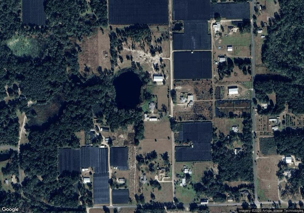
Map
Nearby Homes
- 0 Chameleon Rd
- 1135 Peterson Rd
- 1275 Davidson Dr
- 0 Peterson Rd
- 0 Harper Rd Unit MFRR4909960
- 1576 Murphy Rd
- 0 Emporia Rd Unit MFRV4939993
- 0 No St Unit MFRGC517561
- 0 6th Ave W
- 1640 Shell Harbor Rd
- 110 N Volusia Ave
- 161 W 2nd Ave
- 103 E 2nd Ave
- 765 U S 17
- 190 Dickie Ln
- 207 E 2nd Ave
- 125 W 1st Ave
- 0 Us-17 & 1st St E
- 0 Shell Harbor Rd Unit 1216639
- 0 Shell Harbor Rd Unit MFRNS1085703
- 1105 Saul Rd
- 928 Peterson Rd
- 876 Peterson Rd
- 896 Peterson Rd
- 860 Peterson Rd
- 1138 Blackburn Rd
- 1150 Blackburn Rd
- 948 Peterson Rd
- 824 Peterson Rd
- 1115 Blackburn Rd
- 1090 Blackburn Rd
- 1127 Blackburn Rd
- 810 Peterson Rd
- 1002 Peterson Rd
- 1051 Blackburn Rd
- 1020 Blackburn Rd
- 0 Murphy Rd Unit 1064510
- 0 Murphy Rd Unit 1025185
- 0 Murphy Rd Unit V4909721
- 0 Murphy Rd Unit V4909591