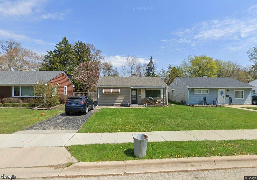
1120 Westshire Dr Joliet, IL 60435
Cunningham NeighborhoodEstimated Value: $223,000 - $241,153
2
Beds
1
Bath
1,244
Sq Ft
$189/Sq Ft
Est. Value
About This Home
This home is located at 1120 Westshire Dr, Joliet, IL 60435 and is currently estimated at $234,788, approximately $188 per square foot. 1120 Westshire Dr is a home located in Will County with nearby schools including Taft Elementary School, Hufford Junior High School, and Joliet West High School.
Ownership History
Date
Name
Owned For
Owner Type
Purchase Details
Closed on
Nov 29, 2017
Sold by
Nasenbeny Daniel M and Nasenbeny Thomas M
Bought by
Bluth Leonard R and Bluth Margaret G
Current Estimated Value
Home Financials for this Owner
Home Financials are based on the most recent Mortgage that was taken out on this home.
Original Mortgage
$122,637
Outstanding Balance
$103,726
Interest Rate
4.12%
Mortgage Type
FHA
Estimated Equity
$131,062
Create a Home Valuation Report for This Property
The Home Valuation Report is an in-depth analysis detailing your home's value as well as a comparison with similar homes in the area
Home Values in the Area
Average Home Value in this Area
Purchase History
| Date | Buyer | Sale Price | Title Company |
|---|---|---|---|
| Bluth Leonard R | $124,900 | First American Title |
Source: Public Records
Mortgage History
| Date | Status | Borrower | Loan Amount |
|---|---|---|---|
| Open | Bluth Leonard R | $122,637 |
Source: Public Records
Tax History Compared to Growth
Tax History
| Year | Tax Paid | Tax Assessment Tax Assessment Total Assessment is a certain percentage of the fair market value that is determined by local assessors to be the total taxable value of land and additions on the property. | Land | Improvement |
|---|---|---|---|---|
| 2024 | $4,788 | $73,159 | $10,661 | $62,498 |
| 2023 | $4,788 | $65,001 | $9,472 | $55,529 |
| 2022 | $4,876 | $58,798 | $8,568 | $50,230 |
| 2021 | $4,597 | $54,915 | $8,002 | $46,913 |
| 2020 | $4,333 | $52,151 | $7,599 | $44,552 |
| 2019 | $4,081 | $48,467 | $7,062 | $41,405 |
| 2018 | $3,367 | $44,786 | $6,526 | $38,260 |
| 2017 | $3,070 | $40,718 | $5,933 | $34,785 |
| 2016 | $1,931 | $37,487 | $5,439 | $32,048 |
| 2015 | $1,872 | $35,150 | $5,100 | $30,050 |
| 2014 | $1,872 | $34,950 | $5,050 | $29,900 |
| 2013 | $1,872 | $36,549 | $5,600 | $30,949 |
Source: Public Records
Map
Nearby Homes
- 1005 Plaza Dr
- 1205 Connecticut Ave
- 923 Plaza Dr
- 1116 Winthrop Ave
- 1226 Plainfield Rd
- 1418 Coral Bell Dr
- 1403 Coral Bell Dr
- 1314 Loral Ave
- 803 Alann Dr
- 1835 Venson Ln
- 1314 Catherine St
- 803 Junie Ct
- 1114 Ingalls Ave Unit 1A
- 1308 Burry St
- 1210 Hosmer St
- 1300 Boston Ave
- 1911 Mayan Ct
- 1126 N May St
- 716 Catherine St
- 1014 Edgerton Dr
- 1118 Westshire Dr
- 1122 Westshire Dr
- 1116 Westshire Dr
- 1114 Westshire Dr
- 1128 Westshire Dr
- 1117 Barthelme Ave
- 1115 Barthelme Ave
- 1121 Westshire Dr
- 1119 Barthelme Ave
- 1125 Westshire Dr
- 1111 Barthelme Ave
- 1115 Westshire Dr
- 1130 Westshire Dr
- 1109 Barthelme Ave
- 1121 Barthelme Ave
- 1113 Westshire Dr
- 1127 Westshire Dr
- 1106 Westshire Dr
- 1125 Barthelme Ave
- 1133 Westshire Dr