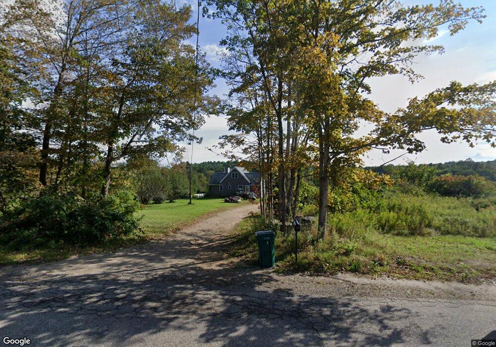
1120 Worcester Rd New Braintree, MA 01531
Estimated Value: $442,000 - $511,000
2
Beds
2
Baths
1,225
Sq Ft
$388/Sq Ft
Est. Value
About This Home
This home is located at 1120 Worcester Rd, New Braintree, MA 01531 and is currently estimated at $474,829, approximately $387 per square foot. 1120 Worcester Rd is a home located in Worcester County with nearby schools including Quabbin Regional Middle School and Quabbin Regional High School.
Ownership History
Date
Name
Owned For
Owner Type
Purchase Details
Closed on
Feb 17, 2025
Sold by
Clough Robert W Est and Clough
Bought by
1120 Worcester Road Rt and Clough
Current Estimated Value
Create a Home Valuation Report for This Property
The Home Valuation Report is an in-depth analysis detailing your home's value as well as a comparison with similar homes in the area
Home Values in the Area
Average Home Value in this Area
Purchase History
We collect this data history from publicly available records. To have your information removed, we recommend requesting removal directly through your county’s website.
| Date | Buyer | Sale Price | Title Company |
|---|---|---|---|
| 1120 Worcester Road Rt | -- | None Available | |
| 1120 Worcester Road Rt | -- | None Available | |
| 112 Worcester Road Rt | -- | None Available | |
| 112 Worcester Road Rt | -- | None Available |
Source: Public Records
Tax History
| Year | Tax Paid | Tax Assessment Tax Assessment Total Assessment is a certain percentage of the fair market value that is determined by local assessors to be the total taxable value of land and additions on the property. | Land | Improvement |
|---|---|---|---|---|
| 2025 | $5,119 | $344,500 | $60,400 | $284,100 |
| 2024 | $5,018 | $345,100 | $61,000 | $284,100 |
| 2023 | $4,608 | $313,900 | $61,700 | $252,200 |
| 2022 | $4,165 | $256,300 | $50,500 | $205,800 |
| 2021 | $4,242 | $242,800 | $46,700 | $196,100 |
| 2020 | $4,096 | $236,500 | $46,900 | $189,600 |
| 2019 | $3,932 | $231,300 | $46,900 | $184,400 |
| 2018 | $3,890 | $221,500 | $49,100 | $172,400 |
| 2017 | $3,719 | $205,900 | $52,300 | $153,600 |
| 2016 | $3,558 | $204,500 | $50,900 | $153,600 |
| 2015 | $3,522 | $216,900 | $57,700 | $159,200 |
| 2014 | $3,422 | $209,400 | $50,200 | $159,200 |
Source: Public Records
Map
Nearby Homes
- 1310 N Brookfield Rd
- 13 Washburn Terrace
- 116 Spencer Rd
- 67 Maple St
- 9B Bell Rd
- 111 Northwest Rd
- 260-A Hunt
- 0 Brooks Pond Rd (Large Parcel)
- 0 Brooks Pond Rd (Small Parcel)
- 0 Brooks Pond Rd (Entire Parcel)
- 7 Kittredge Rd
- 101 School St
- 75 School St
- 1776 Old Turnpike Rd
- 70 Skyline Dr
- 2266 Old Turnpike Rd
- 22 Spring St
- 716 Hardwick Rd
- 926 Old Turnpike Rd
- 1940 Barre Rd
- 1115 Worcester Rd
- 1115 Worcester Rd
- 1115 Worcester Rd
- 1170 Worcester Rd
- 1141 Worcester Rd
- 40 Letendre Ln
- 1051 Worcester Rd
- 66 Letendre Ln
- 1225 Worcester Rd
- 1138 Worcester Rd
- 841 Moore Rd
- 1026 Worcester Rd
- 823 Moore Rd
- 1276 Worcester Rd
- 775 Moore Rd
- 155 N Brookfield Rd
- 374 Robinson Rd
- 0 Rte 148 Unit 71006106
- 0 Rte 148 Unit 71091217
- Lot c N Brookfield Rd
Your Personal Tour Guide
Ask me questions while you tour the home.