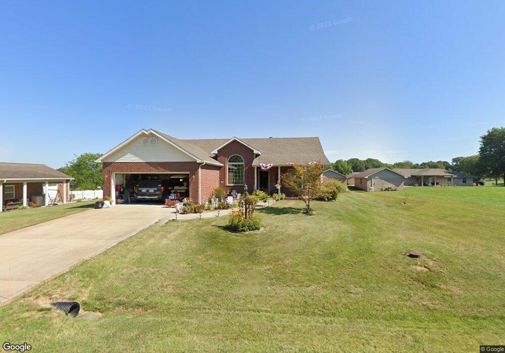
11200 Kramers Dr Evansville, IN 47712
Estimated Value: $296,000 - $324,000
3
Beds
2
Baths
1,464
Sq Ft
$216/Sq Ft
Est. Value
About This Home
This home is located at 11200 Kramers Dr, Evansville, IN 47712 and is currently estimated at $316,551, approximately $216 per square foot. 11200 Kramers Dr is a home located in Posey County with nearby schools including Mount Vernon Junior High School, Mount Vernon High School, and St. Philip School.
Ownership History
Date
Name
Owned For
Owner Type
Purchase Details
Closed on
Apr 28, 2011
Sold by
Ketcham Amy
Bought by
Mason Russell and Mason Betty J
Current Estimated Value
Purchase Details
Closed on
Jun 16, 2008
Sold by
Sloan Rodney A and Sloan Brandy R
Bought by
Ketcham Amy
Home Financials for this Owner
Home Financials are based on the most recent Mortgage that was taken out on this home.
Original Mortgage
$123,500
Interest Rate
6.04%
Mortgage Type
New Conventional
Create a Home Valuation Report for This Property
The Home Valuation Report is an in-depth analysis detailing your home's value as well as a comparison with similar homes in the area
Home Values in the Area
Average Home Value in this Area
Purchase History
| Date | Buyer | Sale Price | Title Company |
|---|---|---|---|
| Mason Russell | -- | None Available | |
| Ketcham Amy | -- | None Available |
Source: Public Records
Mortgage History
| Date | Status | Borrower | Loan Amount |
|---|---|---|---|
| Previous Owner | Ketcham Amy | $123,500 |
Source: Public Records
Tax History Compared to Growth
Tax History
| Year | Tax Paid | Tax Assessment Tax Assessment Total Assessment is a certain percentage of the fair market value that is determined by local assessors to be the total taxable value of land and additions on the property. | Land | Improvement |
|---|---|---|---|---|
| 2024 | $2,015 | $268,100 | $29,500 | $238,600 |
| 2023 | $1,603 | $231,600 | $29,500 | $202,100 |
| 2022 | $1,611 | $211,500 | $21,800 | $189,700 |
| 2021 | $1,328 | $181,200 | $20,900 | $160,300 |
| 2020 | $1,339 | $177,900 | $20,400 | $157,500 |
| 2019 | $1,276 | $173,100 | $19,200 | $153,900 |
| 2018 | $1,213 | $168,900 | $19,200 | $149,700 |
| 2017 | $1,329 | $167,300 | $19,100 | $148,200 |
| 2016 | $1,056 | $162,900 | $19,100 | $143,800 |
| 2014 | $963 | $160,000 | $20,400 | $139,600 |
| 2013 | $963 | $162,900 | $20,400 | $142,500 |
Source: Public Records
Map
Nearby Homes
- 5015 Alysia St
- 4031 Saint Phillips Rd S
- 10900 Woodside Dr S
- 5225 Star Dr
- 724 Agathon Dr
- 10515 Olivia St
- 11314 Vixen Dr
- 3145 Saint Phillips Rd S
- 0 Fox Ridge Rd
- 6401 Middle Mount Vernon Rd
- 2996 Hillview Ln
- 2741 Marycrest Dr
- 49 Roesner Rd
- 2646 Marycrest Dr
- 9205 Amber Ln
- 2701 Woodstone Ln
- 2734 Marycrest Dr
- Little Rock Craftsman Plan at Westridge Commons
- Revolution Craftsman Plan at Westridge Commons
- Revolution Farmhouse Plan at Westridge Commons
- 11201 P K Dr
- 11130 Kramers Dr
- 11131 P K Dr
- 11217 P K Dr
- 11201 Kramers Dr
- 11209 Kramers Dr
- 11226 Kramers Dr
- 11120 Kramers Dr
- 11216 P K Dr
- 11227 P K Dr
- 11125 Kramers Dr
- 11125 P K Dr
- 11200 P K Dr
- 11225 Kramers Dr
- 11300 Kramers Dr
- 11233 Kramers Dr
- 11117 Kramers Dr
- 11301 P K Dr
- 11226 P K Dr
- 11115 Middle Mount Vernon Rd