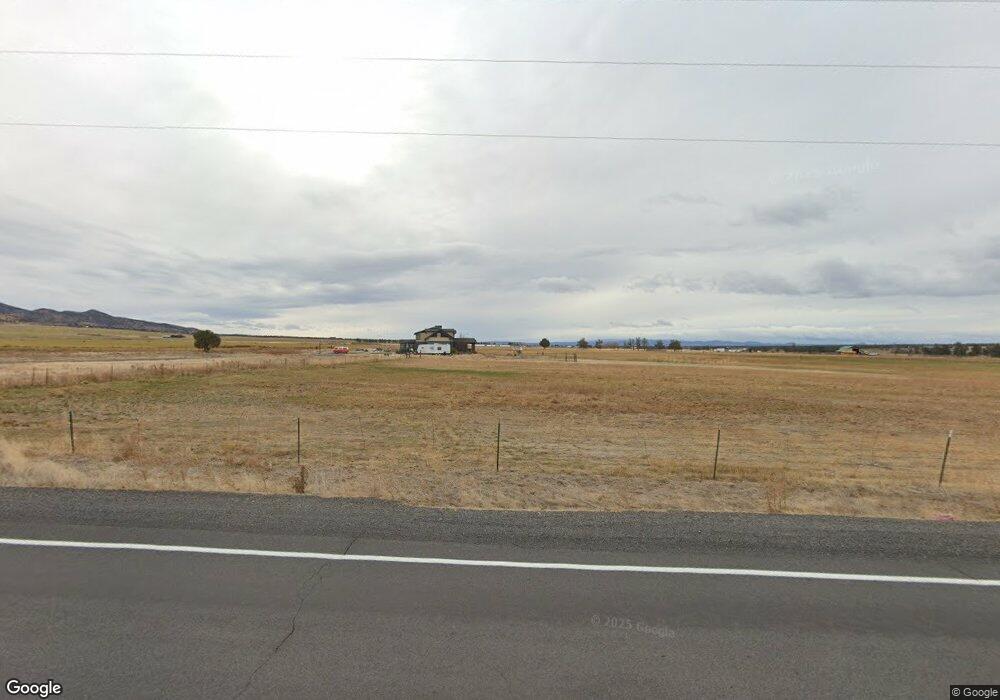
11200 SW Powell Butte Hwy Powell Butte, OR 97753
Estimated Value: $2,336,754
5
Beds
4
Baths
5,000
Sq Ft
$467/Sq Ft
Est. Value
About This Home
This home is located at 11200 SW Powell Butte Hwy, Powell Butte, OR 97753 and is currently estimated at $2,336,754, approximately $467 per square foot. 11200 SW Powell Butte Hwy is a home located in Crook County with nearby schools including Crooked River Elementary School, Crook County Middle School, and Crook County High School.
Ownership History
Date
Name
Owned For
Owner Type
Purchase Details
Closed on
Nov 25, 2005
Sold by
Farrington Angel
Bought by
Farrington Derek
Current Estimated Value
Home Financials for this Owner
Home Financials are based on the most recent Mortgage that was taken out on this home.
Original Mortgage
$50,000
Outstanding Balance
$27,283
Interest Rate
6.07%
Mortgage Type
Purchase Money Mortgage
Estimated Equity
$2,309,471
Create a Home Valuation Report for This Property
The Home Valuation Report is an in-depth analysis detailing your home's value as well as a comparison with similar homes in the area
Home Values in the Area
Average Home Value in this Area
Purchase History
| Date | Buyer | Sale Price | Title Company |
|---|---|---|---|
| Farrington Derek | -- | Amerititle |
Source: Public Records
Mortgage History
| Date | Status | Borrower | Loan Amount |
|---|---|---|---|
| Open | Farrington Derek | $50,000 |
Source: Public Records
Tax History Compared to Growth
Tax History
| Year | Tax Paid | Tax Assessment Tax Assessment Total Assessment is a certain percentage of the fair market value that is determined by local assessors to be the total taxable value of land and additions on the property. | Land | Improvement |
|---|---|---|---|---|
| 2025 | $8,409 | $692,230 | -- | -- |
| 2024 | $8,208 | $672,070 | -- | -- |
| 2023 | $7,925 | $652,500 | $0 | $0 |
| 2022 | $7,678 | $633,500 | $0 | $0 |
| 2021 | $7,678 | $615,050 | $0 | $0 |
| 2020 | $7,465 | $597,143 | $0 | $0 |
| 2019 | $7,201 | $562,864 | $0 | $0 |
| 2018 | $7,020 | $562,864 | $0 | $0 |
| 2017 | $6,913 | $546,470 | $0 | $0 |
| 2016 | $6,596 | $515,100 | $0 | $0 |
| 2015 | $6,308 | $515,100 | $0 | $0 |
| 2013 | -- | $485,531 | $0 | $0 |
Source: Public Records
Map
Nearby Homes
- 11705 SW Shumway Rd
- 11039 SW Ranch Rd
- 13507 SW Shumway Rd
- 0 Talarus Tr
- 13680 SW Rust Bucket Rd
- 0 SW Reif Rd Unit 220210897
- 14427 SW Alfalfa Rd Unit 10
- 16990 SW Grandview Rd
- 16384 SW Grandview Rd
- 405 S Meadowlark Ln
- 13646 SW Meadowlark
- 13689 SW Bussett Rd
- 15700 SW Rangeland Dr
- 15660 SW Rangeland Dr
- 0 SW Esperanza Ct Unit Homesites 297 and 29
- 0 SW Antelope Dr Unit Lot 15 220194048
- 0 SW Antelope Dr Unit Lot 15 220194362
- 9280 SW Copley Rd
- 8385 SW Copley Rd
- 0 SW Mecate Ln Unit Homesite 329
- 11350 SW Powell Butte Hwy
- 10913 SW Powell Butte Hwy
- 17795 SW Mccafferty Rd
- 10891 SW Powell Butte Hwy
- 0 Powell Butte Hwy Unit 2345943
- 0 Powell Butte Hwy Unit 36321
- 0 Powell Butte Hwy Unit 2410215
- 0 Powell Butte Hwy Unit 9903411
- 0 Powell Butte Hwy Unit 2100620
- 0 Powell Butte Hwy Unit 2007812
- 0 Powell Butte Hwy Unit 2001802
- 0 Powell Butte Hwy Unit 2511479
- 0 Powell Butte Hwy Unit 201002885
- 0 Powell Butte Hwy Unit 201008712
- 0 Powell Butte Hwy Unit 201904747
- 18021 SW Mccafferty Rd
- 10873 SW Powell Butte Hwy
- 10862 SW Powell Butte Hwy
- 11705 SW Shumway Rd