11201 Cannon Rd Lincoln, AR 72744
Estimated Value: $318,000 - $481,000
--
Bed
2
Baths
2,278
Sq Ft
$166/Sq Ft
Est. Value
About This Home
This home is located at 11201 Cannon Rd, Lincoln, AR 72744 and is currently estimated at $377,160, approximately $165 per square foot. 11201 Cannon Rd is a home located in Washington County with nearby schools including Lincoln Elementary School and Lincoln High School.
Ownership History
Date
Name
Owned For
Owner Type
Purchase Details
Closed on
Jan 23, 2015
Bought by
Head Patricia M F
Current Estimated Value
Purchase Details
Closed on
Aug 8, 2014
Bought by
Head Patricia M F
Purchase Details
Closed on
Oct 29, 2012
Sold by
Little Patricia M F and Little Robert E
Bought by
Little Patricia M F and Little Richard Lee
Purchase Details
Closed on
Jan 1, 1985
Bought by
Little Robert E and Little Patricia M
Create a Home Valuation Report for This Property
The Home Valuation Report is an in-depth analysis detailing your home's value as well as a comparison with similar homes in the area
Home Values in the Area
Average Home Value in this Area
Purchase History
| Date | Buyer | Sale Price | Title Company |
|---|---|---|---|
| Head Patricia M F | -- | -- | |
| Head Patricia M F | -- | -- | |
| Little Patricia M F | -- | None Available | |
| Little Robert E | -- | -- |
Source: Public Records
Tax History Compared to Growth
Tax History
| Year | Tax Paid | Tax Assessment Tax Assessment Total Assessment is a certain percentage of the fair market value that is determined by local assessors to be the total taxable value of land and additions on the property. | Land | Improvement |
|---|---|---|---|---|
| 2025 | $179 | $46,890 | $7,970 | $38,920 |
| 2024 | $279 | $46,890 | $7,970 | $38,920 |
| 2023 | $362 | $46,890 | $7,970 | $38,920 |
| 2022 | $414 | $30,630 | $4,820 | $25,810 |
| 2021 | $414 | $30,630 | $4,820 | $25,810 |
| 2020 | $414 | $30,630 | $4,820 | $25,810 |
| 2019 | $423 | $24,310 | $4,410 | $19,900 |
| 2018 | $448 | $24,310 | $4,410 | $19,900 |
| 2017 | $380 | $24,310 | $4,410 | $19,900 |
| 2016 | $441 | $24,310 | $4,410 | $19,900 |
| 2015 | $441 | $24,310 | $4,410 | $19,900 |
| 2014 | $446 | $15,090 | $3,510 | $11,580 |
Source: Public Records
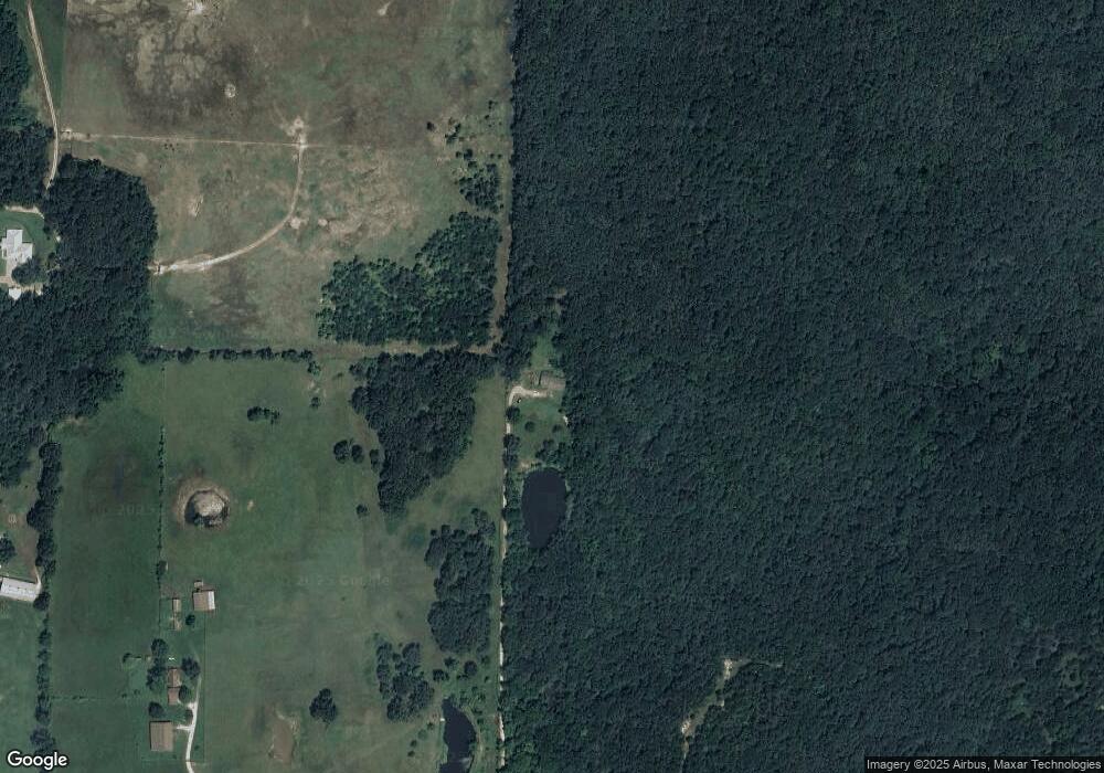
Map
Nearby Homes
- 18040 E Holt Rd
- 17691 E Holt Rd
- 10397 S Mortensen Rd
- 208 S Wedington Blacktop Rd
- 3.41 Acres of 11281 S Wedington Blacktop Rd
- 13170 Route 45
- 16800 Parks Corner Rd
- 16655 W Highway 62
- 16477 Parks Corner
- 508 E Holt Rd
- 16603 Parks Corner Rd
- 16256 W Highway 62
- TBD N Mortensen Rd
- 200 County Ave
- 709 E Pridemore Dr
- 313 E North St
- 608 W Holt Rd
- 394 E North St
- 100 Quincy Ave
- 924 West Ave
- 11257 Cannon Rd
- 10984 S Wedington Blacktop Rd
- 11122 Cannon Rd
- 11343 Cannon Rd
- 11000 S Wedington Blacktop Rd
- 34 Ac Cannon Rd
- 11218 S Wedington Blacktop Rd
- 11038 S Wedington Blacktop Rd
- 10922 S Wedington Blacktop Rd
- 10922 S Wedington Blacktop Rd
- Tract 2 Wedington Blacktop (Wc33) Rd
- 11431 Cannon Rd
- 11411 Old Pridemore Ln
- 11007 S Wedington Blacktop Rd
- 10695 S Wedington Blacktop Rd
- 0 S Cannon Rd
- 11115 S Wedington Blacktop Rd
- 10831 S Wedington Blacktop Rd
- Tract 1 Wedington Blacktop (Wc33) Rd
- 10855 S Wedington Blacktop Rd