Estimated Value: $472,000 - $687,000
4
Beds
2
Baths
2,024
Sq Ft
$281/Sq Ft
Est. Value
About This Home
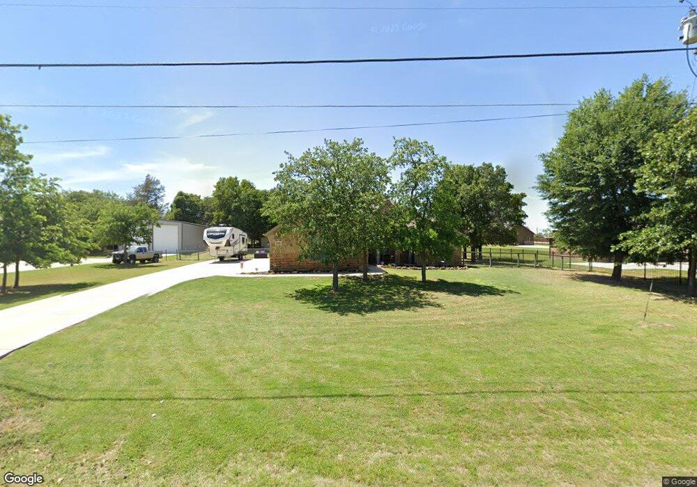
This home is located at 11201 Eustace Dr, Azle, TX 76020 and is currently estimated at $568,626, approximately $280 per square foot. 11201 Eustace Dr is a home located in Tarrant County with nearby schools including Liberty Elementary School, W E Hoover Elementary School, and Santo Forte Junior High School.
Ownership History
Date
Name
Owned For
Owner Type
Purchase Details
Closed on
Jun 30, 2016
Sold by
Maximum Design Ventures Llc
Bought by
Autumn Harold David and Autumn Harold
Current Estimated Value
Home Financials for this Owner
Home Financials are based on the most recent Mortgage that was taken out on this home.
Original Mortgage
$220,825
Outstanding Balance
$174,385
Interest Rate
3.25%
Mortgage Type
FHA
Estimated Equity
$394,241
Purchase Details
Closed on
Jan 25, 2016
Sold by
Druxman Investments Inc
Bought by
Maximum Design Ventures
Create a Home Valuation Report for This Property
The Home Valuation Report is an in-depth analysis detailing your home's value as well as a comparison with similar homes in the area
Home Values in the Area
Average Home Value in this Area
Purchase History
| Date | Buyer | Sale Price | Title Company |
|---|---|---|---|
| Autumn Harold David | -- | Fnt | |
| Maximum Design Ventures | -- | None Available |
Source: Public Records
Mortgage History
| Date | Status | Borrower | Loan Amount |
|---|---|---|---|
| Open | Autumn Harold David | $220,825 |
Source: Public Records
Tax History
| Year | Tax Paid | Tax Assessment Tax Assessment Total Assessment is a certain percentage of the fair market value that is determined by local assessors to be the total taxable value of land and additions on the property. | Land | Improvement |
|---|---|---|---|---|
| 2025 | $4,017 | $571,837 | $110,060 | $461,777 |
| 2024 | $4,017 | $515,499 | $82,545 | $432,954 |
| 2023 | $3,567 | $354,274 | $82,545 | $271,729 |
| 2022 | $4,993 | $263,326 | $42,545 | $220,781 |
| 2021 | $5,137 | $263,885 | $42,545 | $221,340 |
| 2020 | $5,155 | $264,838 | $35,075 | $229,763 |
| 2019 | $5,376 | $265,416 | $35,075 | $230,341 |
| 2018 | $5,084 | $267,375 | $35,075 | $232,300 |
Source: Public Records
Map
Nearby Homes
- 1941 Gale Dr
- 1921 Pelican Dr N
- 11160 Stanfield Rd
- 1357 Beach Dr
- 11314 Stanfield Dr
- 1537 Coral Cut Off
- 1576 Reef Dr
- 1572 Reef Dr
- 1821 Gale Dr
- 1525 Coral Cut Off
- 1820 Pelican Dr N
- 1568 Reef Dr
- 1852 Coral Rd
- 1469 Yachtclub Dr
- 1517 Coral Cut Off
- 1848 Coral Rd
- 1513 Coral Cut Off
- 1849 Coral Rd
- 1836 Coral Rd
- 1532 Gale Dr
- 11211 Eustace Dr
- 9430 Pr 6907
- 11213 Eustace Dr
- 11195 Eustace Dr
- 6880 Sandy Beach Rd
- 6835 Hill Ct
- 11191 Eustace Dr
- 11215 Eustace Dr
- 12204 Lighthouse Hill
- 12200 Lighthouse Hill
- 6815 Hill Ct
- 12208 Lighthouse Hill
- 11219 Eustace Dr
- 6833 Hill Ct
- 12300 Lighthouse Hill
- 6834 Hill Ct
- 6844 Hill Ct
- 6804 Sandy Beach Rd
- 11214 Eustace Dr
- 12304 Lighthouse Hill
Your Personal Tour Guide
Ask me questions while you tour the home.