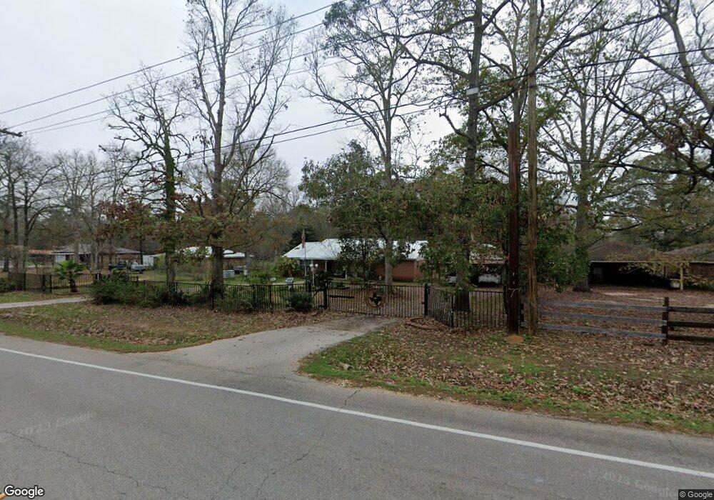
11201 Willis Waukegan Rd Conroe, TX 77303
Estimated Value: $280,000 - $397,000
--
Bed
3
Baths
1,856
Sq Ft
$185/Sq Ft
Est. Value
About This Home
This home is located at 11201 Willis Waukegan Rd, Conroe, TX 77303 and is currently estimated at $344,060, approximately $185 per square foot. 11201 Willis Waukegan Rd is a home located in Montgomery County with nearby schools including Patterson Elementary School, Bozman Intermediate School, and Stockton Junior High School.
Ownership History
Date
Name
Owned For
Owner Type
Purchase Details
Closed on
May 28, 2004
Sold by
Ochoa Rafael and Ochoa Lucia
Bought by
Wells Keith and Wells Gail L
Current Estimated Value
Home Financials for this Owner
Home Financials are based on the most recent Mortgage that was taken out on this home.
Original Mortgage
$68,000
Interest Rate
5.97%
Mortgage Type
Purchase Money Mortgage
Create a Home Valuation Report for This Property
The Home Valuation Report is an in-depth analysis detailing your home's value as well as a comparison with similar homes in the area
Home Values in the Area
Average Home Value in this Area
Purchase History
| Date | Buyer | Sale Price | Title Company |
|---|---|---|---|
| Wells Keith | -- | Stewart Title Of Montgomery |
Source: Public Records
Mortgage History
| Date | Status | Borrower | Loan Amount |
|---|---|---|---|
| Closed | Wells Keith | $68,000 |
Source: Public Records
Tax History Compared to Growth
Tax History
| Year | Tax Paid | Tax Assessment Tax Assessment Total Assessment is a certain percentage of the fair market value that is determined by local assessors to be the total taxable value of land and additions on the property. | Land | Improvement |
|---|---|---|---|---|
| 2025 | -- | $223,848 | -- | -- |
| 2024 | $468 | $203,500 | -- | -- |
| 2023 | $468 | $185,000 | $10,890 | $284,820 |
| 2022 | $2,930 | $168,180 | $10,890 | $175,730 |
| 2021 | $2,827 | $152,890 | $10,890 | $142,000 |
| 2020 | $2,974 | $152,970 | $10,890 | $142,080 |
| 2019 | $3,068 | $152,300 | $10,890 | $141,410 |
| 2018 | $2,028 | $159,580 | $10,890 | $148,690 |
| 2017 | $3,228 | $159,720 | $10,890 | $148,830 |
| 2016 | $3,128 | $154,780 | $10,890 | $148,980 |
| 2015 | $1,706 | $140,710 | $5,230 | $149,170 |
| 2014 | $1,706 | $127,920 | $5,230 | $156,510 |
Source: Public Records
Map
Nearby Homes
- 10388 Champion Village Dr
- 11192 Fm 1484 Rd
- 9800 Ramzi Dr
- 11681 Willis Waukegan Rd
- 9942 Ramzi Dr
- 10038 Ramzi Dr
- 10991 Fm 1484 Rd
- 10539 Fawn Mist Dr
- 10509 Iron Ore Rd
- 10552 Fallow Ln
- 9895 Hickory Ridge Dr
- 10710 Altitude Way
- 10698 Altitude Way
- 10669 Altitude Way
- 10677 Fm 2432 Rd
- 10694 Altitude Way
- 0 Roda
- 0 Copperhead Rd
- 10693 Altitude Way
- TBD Copperhead Rd
- 11227 Willis Waukegan Rd
- 11183 Willis Waukegan Rd
- 17 Willis Waukegan Rd
- 11159 Willis Waukegan Rd
- 11236 Willis Waukegan Rd
- 11153 Willis Waukegan Rd
- 11232 Willis Waukegan Rd
- 10146 Roda Dr
- 11241 Willis Waukegan Rd
- 11228 Willis Waukegan Rd
- 11386 Willis Waukegan Rd
- 9957 Roda Dr
- 11390 Willis Waukegan Rd
- 9980 Roda Dr
- 11382 Willis Waukegan Rd
- 9953 Roda Dr
- 11115 Willis Waukegan Rd
- 9952 Roda Dr
- 9945 Roda Dr
- 11398 Willis Waukegan Rd