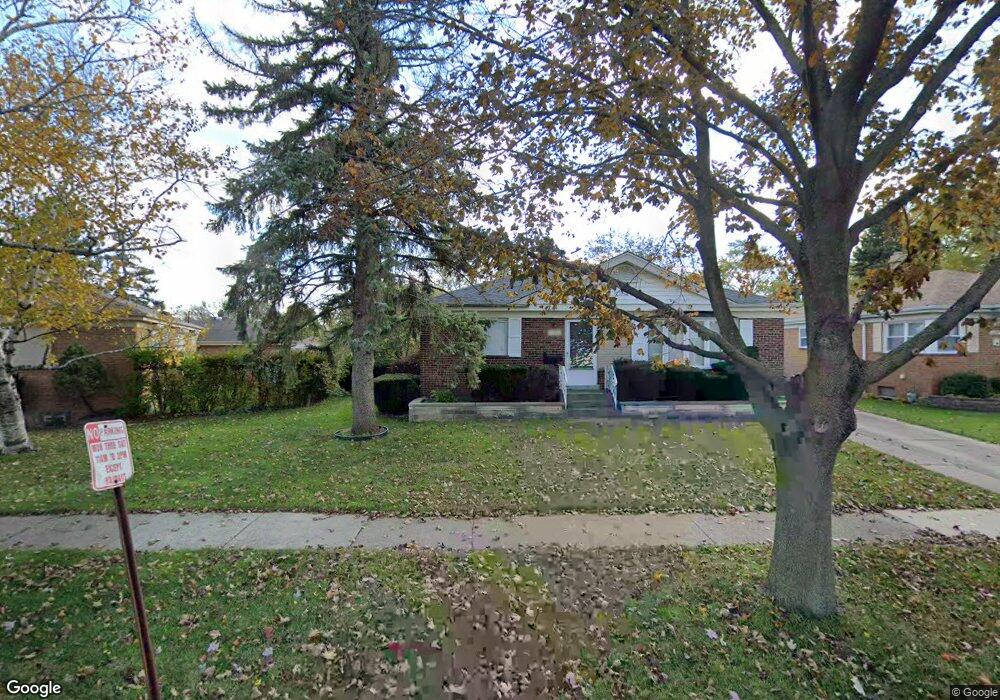
11205 Charles St Westchester, IL 60154
Estimated Value: $324,000 - $353,000
2
Beds
1
Bath
1,104
Sq Ft
$310/Sq Ft
Est. Value
About This Home
This home is located at 11205 Charles St, Westchester, IL 60154 and is currently estimated at $342,239, approximately $309 per square foot. 11205 Charles St is a home located in Cook County with nearby schools including Westchester Primary School, Westchester Intermediate School, and Westchester Middle School.
Ownership History
Date
Name
Owned For
Owner Type
Purchase Details
Closed on
Aug 31, 1995
Sold by
Wagar Richard H and Wagar Jeanne M
Bought by
Armendariz Wayne
Current Estimated Value
Home Financials for this Owner
Home Financials are based on the most recent Mortgage that was taken out on this home.
Original Mortgage
$126,000
Interest Rate
7.5%
Create a Home Valuation Report for This Property
The Home Valuation Report is an in-depth analysis detailing your home's value as well as a comparison with similar homes in the area
Home Values in the Area
Average Home Value in this Area
Purchase History
| Date | Buyer | Sale Price | Title Company |
|---|---|---|---|
| Armendariz Wayne | $142,000 | -- |
Source: Public Records
Mortgage History
| Date | Status | Borrower | Loan Amount |
|---|---|---|---|
| Closed | Armendariz Wayne | $126,000 |
Source: Public Records
Tax History Compared to Growth
Tax History
| Year | Tax Paid | Tax Assessment Tax Assessment Total Assessment is a certain percentage of the fair market value that is determined by local assessors to be the total taxable value of land and additions on the property. | Land | Improvement |
|---|---|---|---|---|
| 2024 | $5,953 | $26,000 | $4,546 | $21,454 |
| 2023 | $5,214 | $26,000 | $4,546 | $21,454 |
| 2022 | $5,214 | $20,511 | $3,896 | $16,615 |
| 2021 | $5,594 | $22,274 | $3,896 | $18,378 |
| 2020 | $5,532 | $22,274 | $3,896 | $18,378 |
| 2019 | $4,356 | $18,850 | $3,571 | $15,279 |
| 2018 | $4,298 | $18,850 | $3,571 | $15,279 |
| 2017 | $4,537 | $19,965 | $3,571 | $16,394 |
| 2016 | $3,615 | $14,894 | $3,247 | $11,647 |
| 2015 | $3,959 | $16,374 | $3,247 | $13,127 |
| 2014 | $3,883 | $16,374 | $3,247 | $13,127 |
| 2013 | $4,929 | $22,237 | $3,247 | $18,990 |
Source: Public Records
Map
Nearby Homes
- 1847 Boeger Ave
- 1905 S Wolf Rd Unit 302
- 11157 Shaw St
- 1948 Boeger Ave
- 2130 Mandel Ave
- 1413 Highridge Pkwy
- 2300 Boeger Ave
- 2205 Mayfair Ave
- 1811 Downing Ave
- 1327 S Wolf Rd
- 1326 Heidorn Ave
- 1860 Buckingham Ave
- 11140 Windsor Dr
- 10630 W Cermak Rd Unit 2E
- 1242 Heidorn Ave
- 10567 Waterford Dr
- 2337 Kensington Ave
- 2401 Mayfair Ave
- 10916 Kingston St
- 11449 Prescott Ln
- 11209 Charles St
- 1806 Boeger Ave
- 1810 Boeger Ave
- 11213 Charles St
- 11206 Mandel Ct
- 11210 Mandel Ct
- 11217 Charles St
- 11162 Mandel Ct
- 11204 Charles St
- 11166 Mandel Ct
- 1814 Boeger Ave
- 11208 Charles St
- 1805 Boeger Ave
- 11221 Charles St
- 11212 Charles St
- 11202 Mandel Ct
- 11214 Mandel Ct
- 1809 Boeger Ave
- 1657 Heidorn Ave
- 11225 Charles St