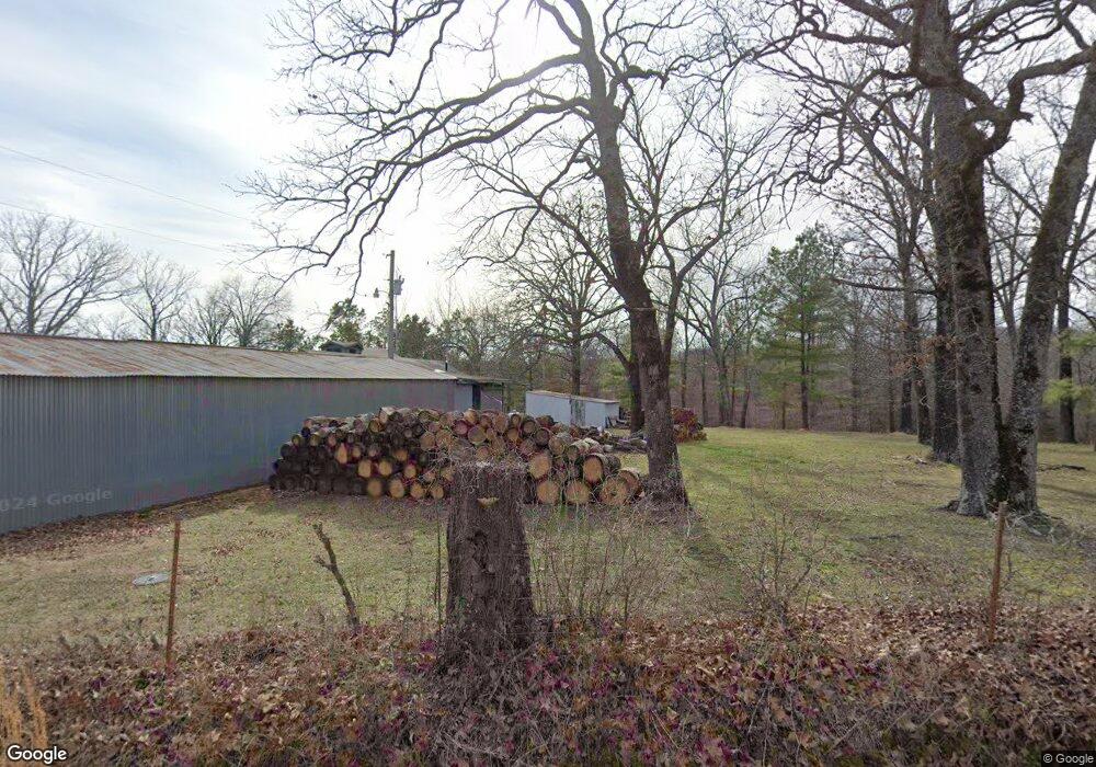
11207 N 530 Rd Tahlequah, OK 74464
Estimated Value: $211,000 - $276,418
3
Beds
1
Bath
1,608
Sq Ft
$150/Sq Ft
Est. Value
About This Home
This home is located at 11207 N 530 Rd, Tahlequah, OK 74464 and is currently estimated at $241,473, approximately $150 per square foot. 11207 N 530 Rd is a home located in Cherokee County with nearby schools including Lowrey School.
Ownership History
Date
Name
Owned For
Owner Type
Purchase Details
Closed on
Jun 12, 2025
Sold by
John And Rita Terry Trust
Bought by
Aldred Joanna and Aldred Michael
Current Estimated Value
Purchase Details
Closed on
Feb 10, 2014
Sold by
Terry John C and Terry Rita L
Bought by
The John And Rita Terry Trust
Purchase Details
Closed on
Nov 29, 2001
Sold by
Carol and James Caughman
Bought by
John and Rita Terry
Create a Home Valuation Report for This Property
The Home Valuation Report is an in-depth analysis detailing your home's value as well as a comparison with similar homes in the area
Home Values in the Area
Average Home Value in this Area
Purchase History
| Date | Buyer | Sale Price | Title Company |
|---|---|---|---|
| Aldred Joanna | -- | None Listed On Document | |
| Aldred Joanna | -- | None Listed On Document | |
| Aldred Joanna | -- | None Listed On Document | |
| Aldred Joanna | -- | None Listed On Document | |
| The John And Rita Terry Trust | -- | None Available | |
| John | $105,000 | -- |
Source: Public Records
Tax History Compared to Growth
Tax History
| Year | Tax Paid | Tax Assessment Tax Assessment Total Assessment is a certain percentage of the fair market value that is determined by local assessors to be the total taxable value of land and additions on the property. | Land | Improvement |
|---|---|---|---|---|
| 2025 | $702 | $7,555 | $3,288 | $4,267 |
| 2024 | $702 | $10,084 | $4,389 | $5,695 |
| 2023 | $702 | $10,085 | $2,811 | $7,274 |
| 2022 | $712 | $10,085 | $1,754 | $8,331 |
| 2021 | $709 | $10,085 | $1,754 | $8,331 |
| 2020 | $650 | $10,084 | $2,786 | $7,298 |
| 2019 | $724 | $10,084 | $2,786 | $7,298 |
| 2018 | $728 | $10,084 | $2,786 | $7,298 |
| 2017 | $736 | $10,084 | $2,786 | $7,298 |
| 2016 | $738 | $10,084 | $2,786 | $7,298 |
| 2015 | $631 | $10,084 | $2,786 | $7,298 |
| 2014 | $611 | $9,790 | $2,699 | $7,091 |
Source: Public Records
Map
Nearby Homes
- 12562 N Webster Rd
- 11457 N 510 Rd
- 21088 E Steely Hollow Rd
- 13725 N 527 Rd
- 20819 E Steely Hollow Rd
- TBD Blk 1 Lot 11 E Steely Hollow Rd
- TBD Blk 1 Lot 4 E Steely Hollow Rd
- TBD BLK 1 Lot 10 E Steely Hollow Rd
- TBD BLK 1 Lot 9 E Steely Hollow Rd
- TBD Blk 1 Lot 1 E Steely Hollow Rd
- TBD BLK 1 Lot 2 E Steely Hollow Rd
- TBD Blk 1 Lot 6 E Steely Hollow Rd
- TBD Blk 1 Lot 8 E Steely Hollow Rd
- TBD Blk 1 Lot 5 E Steely Hollow Rd
- 13468 Hwy 10
- 13468 Oklahoma 10
- 17844 E 688 Rd
- 18079 E 680 Rd
- 13552 State Highway 82
- 105 Summit Ridge Dr
- 11145 530 Rd
- 11158 530 Rd
- 11129 530 Rd
- 20573 E Dixie Pkwy
- 11113 530 Rd
- 20653 E Dixie Pkwy
- 11299 N 530 Rd
- 11048 N 530 Rd
- 20564 E Dixie Pkwy
- 11357 Highway 10
- 11357 N Highway 10
- 11289 N 530 Rd
- 20927 E Dixie Pkwy
- 11442 Highway 10
- 11019 N 530 Rd
- 11019 N 530 Rd
- 20971 E Dixie Pkwy
- 11350 N Highway 10
- 20960 E Dixie Pkwy
- 13258 N Highway 10