11207 Rifle Range Rd NW Frostburg, MD 21532
Estimated Value: $223,871 - $257,000
--
Bed
2
Baths
1,620
Sq Ft
$147/Sq Ft
Est. Value
About This Home
This home is located at 11207 Rifle Range Rd NW, Frostburg, MD 21532 and is currently estimated at $238,218, approximately $147 per square foot. 11207 Rifle Range Rd NW is a home located in Allegany County with nearby schools including Frost Elementary School, Mount Savage Middle School, and Mountain Ridge High School.
Ownership History
Date
Name
Owned For
Owner Type
Purchase Details
Closed on
Feb 14, 2005
Sold by
O'Connor John B and O'Connor Julie A
Bought by
Laporta Michael
Current Estimated Value
Create a Home Valuation Report for This Property
The Home Valuation Report is an in-depth analysis detailing your home's value as well as a comparison with similar homes in the area
Home Values in the Area
Average Home Value in this Area
Purchase History
| Date | Buyer | Sale Price | Title Company |
|---|---|---|---|
| Laporta Michael | -- | -- |
Source: Public Records
Tax History Compared to Growth
Tax History
| Year | Tax Paid | Tax Assessment Tax Assessment Total Assessment is a certain percentage of the fair market value that is determined by local assessors to be the total taxable value of land and additions on the property. | Land | Improvement |
|---|---|---|---|---|
| 2025 | $2,070 | $190,400 | $23,100 | $167,300 |
| 2024 | $1,913 | $176,033 | $0 | $0 |
| 2023 | $1,757 | $161,667 | $0 | $0 |
| 2022 | $1,601 | $147,300 | $23,100 | $124,200 |
| 2021 | $1,587 | $147,300 | $23,100 | $124,200 |
| 2020 | $1,601 | $147,300 | $23,100 | $124,200 |
| 2019 | $1,615 | $148,600 | $22,600 | $126,000 |
| 2018 | $1,615 | $148,600 | $22,600 | $126,000 |
| 2017 | $1,617 | $148,600 | $0 | $0 |
| 2016 | -- | $151,000 | $0 | $0 |
| 2015 | -- | $151,000 | $0 | $0 |
| 2014 | -- | $151,000 | $0 | $0 |
Source: Public Records
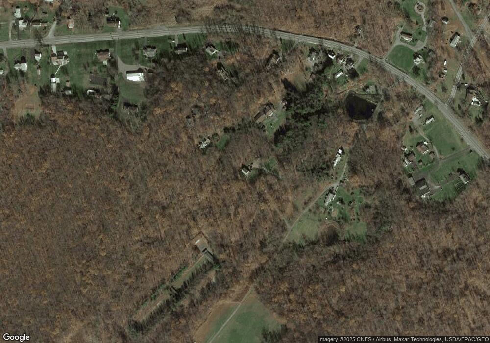
Map
Nearby Homes
- 11401 Snow Line Dr NW
- 19600 National Hwy NW
- 11205 Cliffton Terrace NW
- 11321 Snow Line Dr NW
- 19520 National Hwy NW
- 19604 National Hwy NW
- 19720 National Hwy NW
- 11300 Snow Line Dr NW
- 19712 National Hwy NW
- 19516 National Hwy NW
- 19514 National Hwy NW
- 19718 National Hwy NW
- 19512 National Hwy NW
- 19513 National Hwy NW
- 19406 National Hwy NW
- 19420 National Hwy NW
- 19730 National Hwy NW
- 19731 National Hwy NW
- 19435 National Hwy NW
- 19738 National Hwy NW