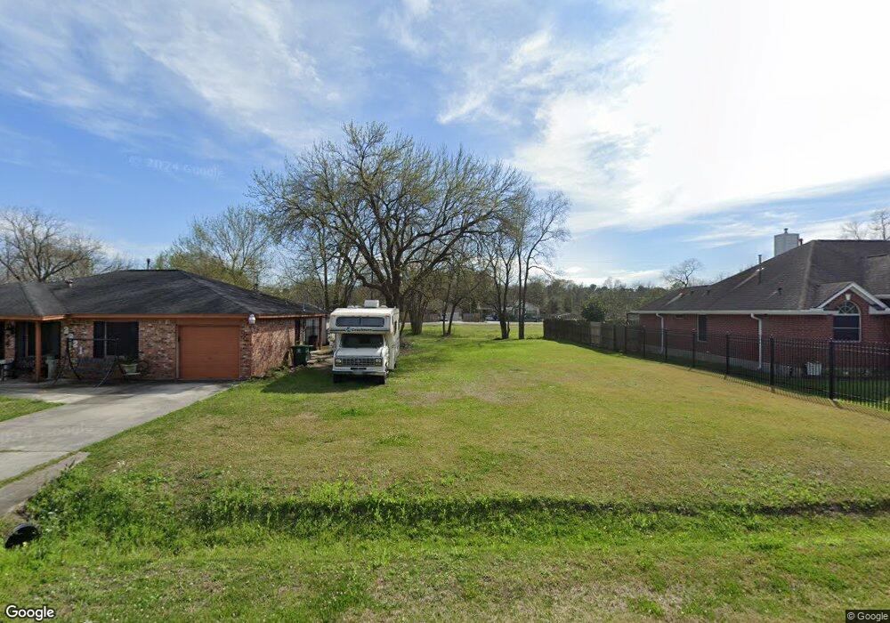
11207 Royal Sands Ct Houston, TX 77088
North Houston NeighborhoodEstimated Value: $269,475 - $303,000
4
Beds
3
Baths
2,182
Sq Ft
$132/Sq Ft
Est. Value
About This Home
This home is located at 11207 Royal Sands Ct, Houston, TX 77088 and is currently estimated at $287,369, approximately $131 per square foot. 11207 Royal Sands Ct is a home with nearby schools including Hill Intermediate School, Stovall School, and Carmichael Elementary School.
Ownership History
Date
Name
Owned For
Owner Type
Purchase Details
Closed on
Sep 22, 2014
Sold by
Greeneco Builders Llc
Bought by
Escobar Francisco Javier
Current Estimated Value
Home Financials for this Owner
Home Financials are based on the most recent Mortgage that was taken out on this home.
Original Mortgage
$182,671
Outstanding Balance
$139,847
Interest Rate
4.14%
Mortgage Type
VA
Estimated Equity
$147,522
Create a Home Valuation Report for This Property
The Home Valuation Report is an in-depth analysis detailing your home's value as well as a comparison with similar homes in the area
Home Values in the Area
Average Home Value in this Area
Purchase History
| Date | Buyer | Sale Price | Title Company |
|---|---|---|---|
| Escobar Francisco Javier | -- | Texas American Title Co |
Source: Public Records
Mortgage History
| Date | Status | Borrower | Loan Amount |
|---|---|---|---|
| Open | Escobar Francisco Javier | $182,671 |
Source: Public Records
Tax History Compared to Growth
Tax History
| Year | Tax Paid | Tax Assessment Tax Assessment Total Assessment is a certain percentage of the fair market value that is determined by local assessors to be the total taxable value of land and additions on the property. | Land | Improvement |
|---|---|---|---|---|
| 2025 | -- | $287,351 | $45,357 | $241,994 |
| 2024 | -- | $265,998 | $45,357 | $220,641 |
| 2023 | $5,744 | $265,998 | $45,357 | $220,641 |
| 2022 | $5,708 | $226,864 | $36,488 | $190,376 |
| 2021 | $5,443 | $226,864 | $36,488 | $190,376 |
| 2020 | $5,263 | $189,192 | $36,488 | $152,704 |
| 2019 | $5,409 | $186,578 | $36,488 | $150,090 |
| 2018 | $0 | $175,405 | $36,488 | $138,917 |
| 2017 | $10,506 | $185,209 | $36,488 | $148,721 |
| 2016 | $5,253 | $185,209 | $36,488 | $148,721 |
| 2015 | $4,828 | $193,895 | $36,488 | $157,407 |
| 2014 | $4,828 | $163,646 | $36,488 | $127,158 |
Source: Public Records
Map
Nearby Homes
- 11207 Royal Rock Ct
- 2846 W Mount Houston Rd
- 10911 Camarillo Ct
- 2845 Washington Dr
- 9218 Washington Dr
- 9217 Washington Dr
- 9206 Washington Dr
- 10923 Whistlers Cottage Ct
- 2934 Washington Dr
- 2930 Washington Dr
- 2734 Donellan Dr
- 11422 Royal Thistle Ct
- 2647 Royal Thistle Dr
- 11618 Wren Crossing Dr
- 11623 Quinn Ridge Way
- 2634 Royal Blue Dr
- 11638 Township Dale Ct
- 3322 Mccrarey Dr
- 3210 Mccrarey Dr
- 5406 Fairview Forest Dr
- 11203 Royal Sands Ct
- 11227 Royal Sands Ct
- 2939 Star Peak Dr
- 2943 Star Peak Dr
- 11231 Royal Sands Ct
- 2947 Star Peak Dr
- 11222 Royal Rock Ct
- 11235 Royal Sands Ct
- 11218 Royal Rock Ct
- 11214 Royal Rock Ct
- 2951 Star Peak Dr
- 11210 Royal Sands Ct
- 11210 Royal Rock Ct
- 11214 Royal Sands Ct
- 11206 Royal Sands Ct
- 11218 Royal Sands Ct
- 11202 Royal Sands Ct
- 11206 Royal Rock Ct
- 2955 Star Peak Dr
- 2923 Star Peak Dr