11207 W River Rd Columbia Station, OH 44028
Estimated Value: $425,218 - $674,000
3
Beds
3
Baths
2,736
Sq Ft
$195/Sq Ft
Est. Value
About This Home
This home is located at 11207 W River Rd, Columbia Station, OH 44028 and is currently estimated at $532,805, approximately $194 per square foot. 11207 W River Rd is a home located in Lorain County with nearby schools including Copopa Elementary School, Columbia Middle School, and Columbia High School.
Ownership History
Date
Name
Owned For
Owner Type
Purchase Details
Closed on
Dec 29, 1998
Sold by
Duplaga Thomas L
Bought by
Campbell Michael G and Campbell Lynn S
Current Estimated Value
Home Financials for this Owner
Home Financials are based on the most recent Mortgage that was taken out on this home.
Original Mortgage
$229,500
Interest Rate
9.85%
Purchase Details
Closed on
Nov 29, 1995
Sold by
Duplaga Donna E
Bought by
Duplaga Thomas L
Create a Home Valuation Report for This Property
The Home Valuation Report is an in-depth analysis detailing your home's value as well as a comparison with similar homes in the area
Home Values in the Area
Average Home Value in this Area
Purchase History
| Date | Buyer | Sale Price | Title Company |
|---|---|---|---|
| Campbell Michael G | $255,000 | Real Estate Title Service Co | |
| Duplaga Thomas L | $111,000 | -- |
Source: Public Records
Mortgage History
| Date | Status | Borrower | Loan Amount |
|---|---|---|---|
| Previous Owner | Campbell Michael G | $229,500 |
Source: Public Records
Tax History Compared to Growth
Tax History
| Year | Tax Paid | Tax Assessment Tax Assessment Total Assessment is a certain percentage of the fair market value that is determined by local assessors to be the total taxable value of land and additions on the property. | Land | Improvement |
|---|---|---|---|---|
| 2024 | $4,882 | $131,691 | $26,520 | $105,172 |
| 2023 | $4,983 | $109,067 | $23,531 | $85,537 |
| 2022 | $4,881 | $109,067 | $23,531 | $85,537 |
| 2021 | $4,930 | $109,067 | $23,531 | $85,537 |
| 2020 | $4,702 | $94,600 | $20,410 | $74,190 |
| 2019 | $4,675 | $94,600 | $20,410 | $74,190 |
| 2018 | $4,837 | $94,600 | $20,410 | $74,190 |
| 2017 | $4,959 | $92,600 | $21,140 | $71,460 |
| 2016 | $4,995 | $92,600 | $21,140 | $71,460 |
| 2015 | $4,997 | $92,600 | $21,140 | $71,460 |
| 2014 | $4,749 | $87,860 | $20,060 | $67,800 |
| 2013 | $4,767 | $87,860 | $20,060 | $67,800 |
Source: Public Records
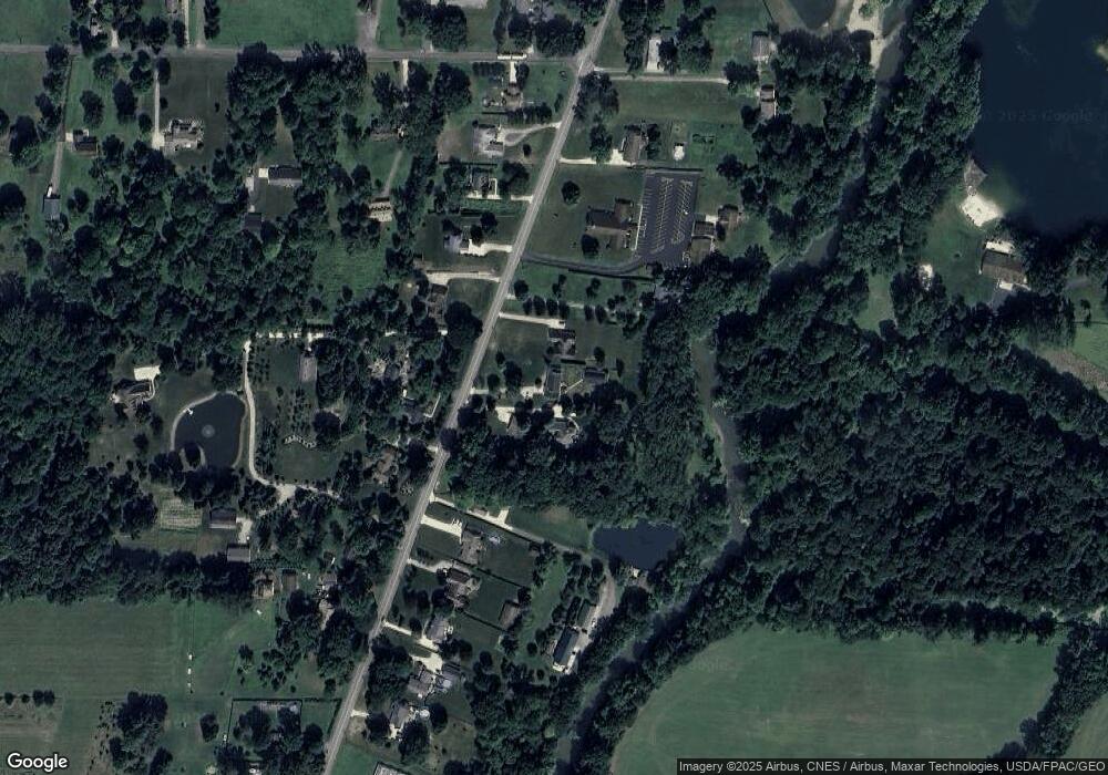
Map
Nearby Homes
- 24848 River Glen Dr
- 11834 W River Rd
- 0 E River Rd Unit 5120285
- 24980 Copopa Trail
- 23926 W Rim Dr
- Lehigh Plan at Ashford Cove
- Anderson Plan at Ashford Cove
- Ballenger Plan at Ashford Cove
- Columbia Plan at Ashford Cove
- Hudson Plan at Ashford Cove
- 23855 W Rim Dr
- 12584 Caribou Ct
- Belleville Plan at The Estates of Columbia Ridge
- Ash Lawn Plan at The Estates of Columbia Ridge
- Brennan Plan at The Estates of Columbia Ridge
- Lyndhurst Plan at The Estates of Columbia Ridge
- Alden Plan at The Estates of Columbia Ridge
- Vanderburgh Plan at The Estates of Columbia Ridge
- Buchanan Plan at The Estates of Columbia Ridge
- 31525 Blooming Ln
- 11193 W River Rd
- 11249 W River Rd
- 11196 W River Rd
- 11252 W River Rd
- 11151 W River Rd
- 11150 W River Rd
- 11325 W River Rd
- 11282 W River Rd
- 11149 W River Rd
- 11100 W River Rd
- 11337 W River Rd
- 11098 W River Rd
- 11095 W River Rd
- 11334 W River Rd
- 11309 W River Rd
- 11399 W River Rd
- 24955 Osborne Rd
- 25019 Osborne Rd
- 11394 W River Rd
- 11394 W River Rd