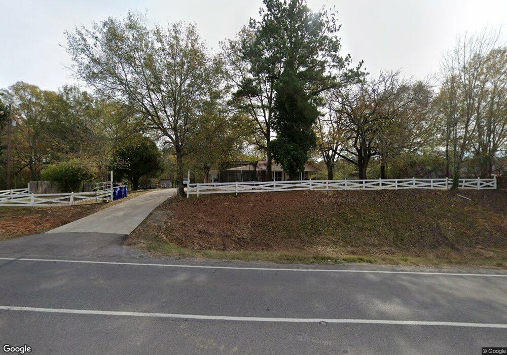
11208 Us Highway 78 Riverside, AL 35135
Estimated Value: $181,000 - $214,000
--
Bed
1
Bath
1,866
Sq Ft
$105/Sq Ft
Est. Value
About This Home
This home is located at 11208 Us Highway 78, Riverside, AL 35135 and is currently estimated at $196,577, approximately $105 per square foot. 11208 Us Highway 78 is a home located in St. Clair County.
Ownership History
Date
Name
Owned For
Owner Type
Purchase Details
Closed on
Mar 17, 2025
Sold by
Kirkland Shirley Ann and Bonnet Barbara Pinson
Bought by
Thomas Jacob D
Current Estimated Value
Home Financials for this Owner
Home Financials are based on the most recent Mortgage that was taken out on this home.
Original Mortgage
$176,739
Interest Rate
6.67%
Mortgage Type
FHA
Purchase Details
Closed on
Oct 24, 2021
Sold by
Helms Evelyn Pinson and Pinson Evelyn
Bought by
Helms Evelyn Pinson and Pinson Dennis Daryl
Purchase Details
Closed on
Jul 17, 2014
Sold by
Burnett Gwen L
Bought by
Pinson Evelyn E
Create a Home Valuation Report for This Property
The Home Valuation Report is an in-depth analysis detailing your home's value as well as a comparison with similar homes in the area
Home Values in the Area
Average Home Value in this Area
Purchase History
| Date | Buyer | Sale Price | Title Company |
|---|---|---|---|
| Thomas Jacob D | $180,000 | None Listed On Document | |
| Helms Evelyn Pinson | -- | None Available | |
| Pinson Evelyn E | $30,000 | None Available |
Source: Public Records
Mortgage History
| Date | Status | Borrower | Loan Amount |
|---|---|---|---|
| Previous Owner | Thomas Jacob D | $176,739 |
Source: Public Records
Tax History Compared to Growth
Tax History
| Year | Tax Paid | Tax Assessment Tax Assessment Total Assessment is a certain percentage of the fair market value that is determined by local assessors to be the total taxable value of land and additions on the property. | Land | Improvement |
|---|---|---|---|---|
| 2024 | $1,155 | $28,168 | $3,660 | $24,508 |
| 2023 | $1,155 | $28,168 | $3,660 | $24,508 |
| 2022 | $1,028 | $25,082 | $3,200 | $21,882 |
| 2021 | $802 | $25,082 | $3,200 | $21,882 |
| 2020 | $802 | $22,262 | $3,204 | $19,058 |
| 2019 | $45 | $22,262 | $3,204 | $19,058 |
| 2018 | $278 | $9,200 | $0 | $0 |
| 2017 | $278 | $9,200 | $0 | $0 |
| 2016 | $278 | $9,200 | $0 | $0 |
| 2015 | $278 | $9,200 | $0 | $0 |
| 2014 | $278 | $9,060 | $0 | $0 |
Source: Public Records
Map
Nearby Homes
- 402 Paradise Isle Unit 402
- 185 Rockwell Dr
- 555 Creek Ridge Dr
- 200 Maplewood Cir
- 625 Creek Ridge Dr
- 1604 Truss Ferry Rd
- 915 Truss Ferry Rd
- 905 Truss Ferry Rd
- 2205 Walker St
- 1330 McKesie St
- 2500 Sprayberry Rd
- 363 Mc Kesie St
- 185 Heritage Way
- 0002 McKesie St Unit 7.29
- 008100 McKesie St
- 12690 Highway 78
- Flannery Plan at Sumter Landing
- Mattie Plan at Sumter Landing
- Coleman Plan at Sumter Landing
- Everly A Plan at Sumter Landing
- 11208 U S 78
- 11284 Us Highway 78
- 11380 Us Highway 78
- 11380 U S 78
- 0 Vanick Rd
- 0 Vanick Rd Unit 418088
- 0 Vanick Rd Unit .54 AC 562393
- 11260 Us Highway 78
- 11230 Us Highway 78
- 11190 Us Highway 78 Unit 1
- 11190 U S 78 Unit 1
- 11190 Hwy 78 E
- 11190 U S 78
- 11190 Us Highway 78
- 0 Highway 78 Unit 21364413
- 0 Highway 78 Unit 379486
- 0 Highway 78 Unit 395950
- 0 Highway 78 Unit 444900
- 0 Highway 78 Unit 1.3 AC 450161
- 0 Highway 78 Unit 499962