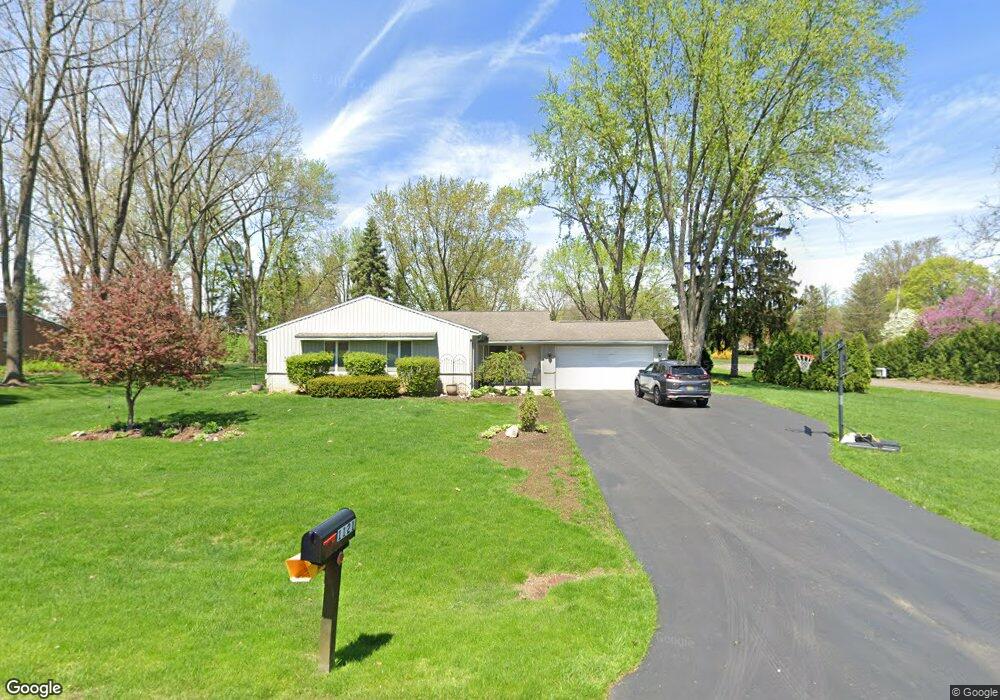
1121 Ashover Dr Bloomfield Hills, MI 48304
Estimated Value: $386,210 - $448,000
3
Beds
2
Baths
1,652
Sq Ft
$247/Sq Ft
Est. Value
About This Home
This home is located at 1121 Ashover Dr, Bloomfield Hills, MI 48304 and is currently estimated at $407,553, approximately $246 per square foot. 1121 Ashover Dr is a home located in Oakland County with nearby schools including R. Grant Graham Elementary School, Avondale Middle School, and Avondale High School.
Ownership History
Date
Name
Owned For
Owner Type
Purchase Details
Closed on
Mar 16, 2023
Sold by
Grace David and Grace Gail
Bought by
Grace Gail and Grace David
Current Estimated Value
Purchase Details
Closed on
Jul 15, 1997
Sold by
Rice Louis N
Bought by
Grace David H
Home Financials for this Owner
Home Financials are based on the most recent Mortgage that was taken out on this home.
Original Mortgage
$22,000
Interest Rate
7.71%
Create a Home Valuation Report for This Property
The Home Valuation Report is an in-depth analysis detailing your home's value as well as a comparison with similar homes in the area
Home Values in the Area
Average Home Value in this Area
Purchase History
| Date | Buyer | Sale Price | Title Company |
|---|---|---|---|
| Grace Gail | -- | -- | |
| Grace David H | $190,000 | -- |
Source: Public Records
Mortgage History
| Date | Status | Borrower | Loan Amount |
|---|---|---|---|
| Previous Owner | Grace David H | $22,000 |
Source: Public Records
Tax History Compared to Growth
Tax History
| Year | Tax Paid | Tax Assessment Tax Assessment Total Assessment is a certain percentage of the fair market value that is determined by local assessors to be the total taxable value of land and additions on the property. | Land | Improvement |
|---|---|---|---|---|
| 2024 | $1,682 | $187,140 | $0 | $0 |
| 2023 | $1,605 | $170,450 | $0 | $0 |
| 2022 | $2,990 | $147,830 | $0 | $0 |
| 2021 | $2,917 | $138,650 | $0 | $0 |
| 2020 | $1,470 | $128,790 | $0 | $0 |
| 2019 | $2,849 | $117,690 | $0 | $0 |
| 2018 | $2,796 | $114,970 | $0 | $0 |
| 2017 | $2,753 | $112,760 | $0 | $0 |
| 2016 | $2,749 | $102,360 | $0 | $0 |
| 2015 | -- | $89,560 | $0 | $0 |
| 2014 | -- | $81,310 | $0 | $0 |
| 2011 | -- | $79,980 | $0 | $0 |
Source: Public Records
Map
Nearby Homes
- 3072 Henrydale St
- 1299 Winchcombe Dr
- 1717 Brandywine Dr
- 3164 Bessie St
- 1525 S Hill Blvd
- 3221 Bessie St
- 1926 Hickory Bark Ln
- 870 Huntclub Blvd
- 624 Slocum Dr
- 825 Huntclub Blvd
- 1737 S Hill Blvd
- 1916 Squirrel Valley Dr
- 833 Bloomfield Village Blvd Unit A
- 842 Bloomfield Village Blvd Unit F
- 833 Bloomfield Village Blvd Unit B
- 758 Huntclub Blvd
- 862 Polo Place
- 3443 Nichols Rd
- 1204 S Timberview Trail Unit E 23
- 1289 Greenglen Ct
- 1111 Ashover Dr
- 1141 Winchcombe Dr
- 1565 Squirrel Rd
- 1155 Ashover Dr
- 1120 Ashover Dr
- 1110 Ashover Dr
- 1150 Winchcombe Dr
- 1154 Ashover Dr
- 1151 Winchcombe Dr
- 1541 Squirrel Rd
- 1645 Hickory Bark Ln
- 1169 Ashover Dr
- 1085 Oak Tree Ln
- 1142 Peveril Rd
- 1161 Winchcombe Dr
- 1174 Winchcombe Dr
- 1643 Squirrel Rd
- 1168 Ashover Dr
- 1151 Peveril Rd
- 1653 Hickory Bark Ln