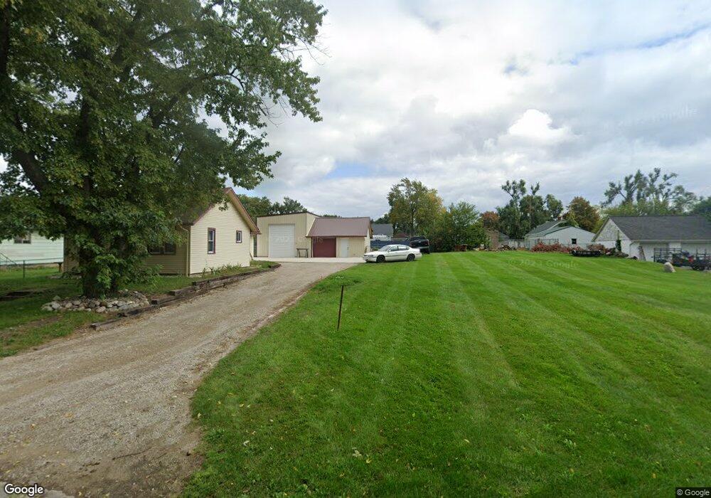
1121 Carson Ave Jackson, MI 49203
Estimated Value: $91,000 - $109,000
1
Bed
1
Bath
848
Sq Ft
$120/Sq Ft
Est. Value
About This Home
This home is located at 1121 Carson Ave, Jackson, MI 49203 and is currently estimated at $101,580, approximately $119 per square foot. 1121 Carson Ave is a home located in Jackson County with nearby schools including Middle School at Parkside, Jackson High School, and St. Mary Star of the Sea School.
Ownership History
Date
Name
Owned For
Owner Type
Purchase Details
Closed on
Sep 15, 2005
Sold by
Hemminger Donald K and Hemminger Marjorie H
Bought by
Hemminger Mark G
Current Estimated Value
Home Financials for this Owner
Home Financials are based on the most recent Mortgage that was taken out on this home.
Original Mortgage
$53,600
Interest Rate
6.01%
Mortgage Type
Fannie Mae Freddie Mac
Purchase Details
Closed on
Oct 20, 2003
Sold by
Hemminger Donald K
Bought by
Hemminger Donald K and Hemminger Marjorie H
Create a Home Valuation Report for This Property
The Home Valuation Report is an in-depth analysis detailing your home's value as well as a comparison with similar homes in the area
Home Values in the Area
Average Home Value in this Area
Purchase History
| Date | Buyer | Sale Price | Title Company |
|---|---|---|---|
| Hemminger Mark G | $25,000 | At | |
| Hemminger Donald K | -- | -- |
Source: Public Records
Mortgage History
| Date | Status | Borrower | Loan Amount |
|---|---|---|---|
| Closed | Hemminger Mark G | $53,600 |
Source: Public Records
Tax History
| Year | Tax Paid | Tax Assessment Tax Assessment Total Assessment is a certain percentage of the fair market value that is determined by local assessors to be the total taxable value of land and additions on the property. | Land | Improvement |
|---|---|---|---|---|
| 2025 | $1,314 | $42,900 | $0 | $0 |
| 2024 | $7 | $36,100 | $0 | $0 |
| 2023 | $691 | $32,900 | $0 | $0 |
| 2022 | $1,132 | $24,300 | $0 | $0 |
| 2021 | $861 | $20,000 | $0 | $0 |
| 2020 | $1,075 | $19,700 | $0 | $0 |
| 2019 | $1,085 | $18,100 | $0 | $0 |
| 2018 | $1,076 | $17,500 | $0 | $0 |
| 2017 | $960 | $17,500 | $0 | $0 |
| 2016 | $341 | $17,300 | $17,300 | $0 |
| 2015 | $497 | $16,600 | $16,600 | $0 |
| 2014 | $497 | $16,400 | $0 | $0 |
| 2013 | -- | $16,400 | $16,400 | $0 |
Source: Public Records
Map
Nearby Homes
- 1156 Knapp St
- 2718 Page Ave
- 1139 S Dettman Rd
- 900 S Roberts St
- Vl Watts St
- O Research Dr
- 781 Tomlinson St
- 509 S Gorham St
- 317 Lockwood St
- 3975 Mcarthur Rd
- 111 N Forbes St
- 1506 Pringle Ave
- 106 N Dwight St
- 149 Mantle Ave
- 131 Willow St
- 153 Mantle Ave
- 127 Bates St
- VL Losey St
- 210 Watts Rd
- 209 N Pleasant St
- 1115 Carson Ave
- 1120 Knapp Ave
- 1139 Carson Ave
- 1139 Carson Ave
- 1116 Knapp Ave
- 3007 Page Ave Unit 3009 Page Ave
- 1116 Carson Ave
- 1134 Knapp Ave
- 1134 Knapp St
- 3009 Page Ave
- 1134 Carson Ave
- 2925 Page Ave
- 3011 Page Ave
- 1144 Knapp Ave
- 2921 Page Ave
- 1153 Carson Ave
- 1117 Knapp Ave
- 1200 Carson Ave
- 1125 Knapp Ave
- 3021 Page Ave