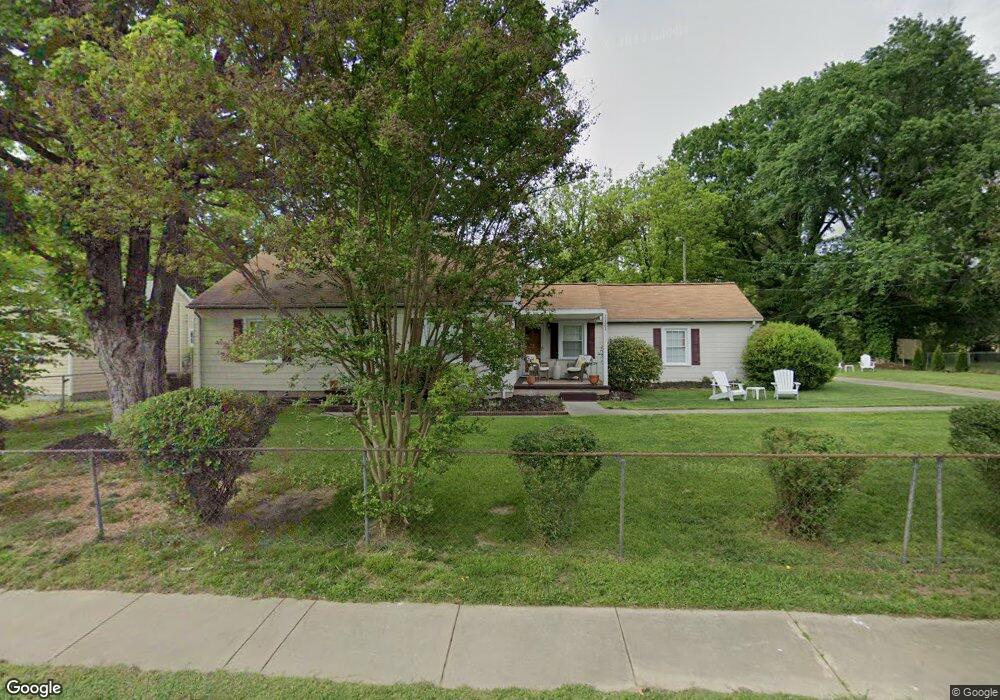
1121 Cedrow Dr High Point, NC 27260
Greater High Point NeighborhoodEstimated Value: $161,908 - $250,000
3
Beds
1
Bath
1,126
Sq Ft
$166/Sq Ft
Est. Value
About This Home
This home is located at 1121 Cedrow Dr, High Point, NC 27260 and is currently estimated at $187,227, approximately $166 per square foot. 1121 Cedrow Dr is a home located in Guilford County with nearby schools including Montlieu Academy of Technology, Welborn Academy of Science & Technology, and T.W. Andrews High School.
Ownership History
Date
Name
Owned For
Owner Type
Purchase Details
Closed on
Feb 23, 2004
Bought by
Dunlap Brenda
Current Estimated Value
Create a Home Valuation Report for This Property
The Home Valuation Report is an in-depth analysis detailing your home's value as well as a comparison with similar homes in the area
Home Values in the Area
Average Home Value in this Area
Purchase History
| Date | Buyer | Sale Price | Title Company |
|---|---|---|---|
| Dunlap Brenda | -- | -- |
Source: Public Records
Tax History
| Year | Tax Paid | Tax Assessment Tax Assessment Total Assessment is a certain percentage of the fair market value that is determined by local assessors to be the total taxable value of land and additions on the property. | Land | Improvement |
|---|---|---|---|---|
| 2025 | $1,378 | $100,000 | $18,000 | $82,000 |
| 2024 | $1,378 | $100,000 | $18,000 | $82,000 |
| 2023 | $1,378 | $100,000 | $18,000 | $82,000 |
| 2022 | $1,348 | $100,000 | $18,000 | $82,000 |
| 2021 | $970 | $70,400 | $10,000 | $60,400 |
| 2020 | $970 | $70,400 | $10,000 | $60,400 |
| 2019 | $970 | $70,400 | $0 | $0 |
| 2018 | $965 | $70,400 | $0 | $0 |
| 2017 | $965 | $70,400 | $0 | $0 |
| 2016 | $951 | $67,800 | $0 | $0 |
| 2015 | $956 | $67,800 | $0 | $0 |
| 2014 | $972 | $67,800 | $0 | $0 |
Source: Public Records
Map
Nearby Homes
- 2209 Gable Way
- 1136 Montlieu Ave
- 1005 Gordon St
- 1007 Gordon St
- 1120 Carolina St
- 1606 Boundary Ave
- 1604 Boundary Ave
- 1602 Boundary Ave
- 1012 Meadowbrook Blvd
- 828 Circle Dr
- 2507 E Lexington Ave
- 1508 Boundary Ave
- 1506 Boundary Ave
- 1445 Bailey Cir
- 1519 Mcguinn Dr
- 1308 Boundary Ave
- 2507 Suffolk Ave
- 513 Saunders Place Unit A & B
- 511 Saunders Place Unit A & B
- 1604 E Lexington Ave
- 1119 Cedrow Dr
- 1125 Cedrow Dr
- 1128 Biltmore Ave
- 1130 Biltmore Ave
- 1126 Biltmore Ave
- 1115 Cedrow Dr
- 1132 Biltmore Ave
- 1120 Cedrow Dr
- 1124 Biltmore Ave
- 1122 Cedrow Dr
- 1118 Cedrow Dr
- 1124 Cedrow Dr
- 1116 Cedrow Dr
- 1122 Biltmore Ave
- 1113 Cedrow Dr
- 1203 Cedrow Dr
- 1114 Cedrow Dr
- 1120 Biltmore Ave
- 1200 Cedrow Dr
- 1200 Biltmore Ave
Your Personal Tour Guide
Ask me questions while you tour the home.